к оглавлениюUp
This text has an English translation. To switch between Russian and English languages press "t", or use link in the upper-right corner. I'm not a good English speaker, especially in mountaneering topics. Any comments and corrections of the language are very welcome!
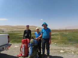
Участники: Слава Завьялов, Дина Терентьева, Лёня Фишкис Participants: Slava Zavjalov, Dina Terenteva, Leonid Fishkis
Маршрут: пос.Аличур -- пер.Кыянат (н/к, 4234) -- р.Бахмал-Джилга -- р.Саритош -- радиалка на в.Малжуран* (1А-1Б, 5300) -- пер.Саритош* (1А, 4885) -- р.Б.Марджанай -- пер.Дузахдара (н/к, 4260) -- р.Мал.Марджанай -- пер.Мал.Марджанай* (1Б, 5124) -- пер.Белых Озер* (1Б, 5270) -- оз.Чапдар -- пер.Гипротранс (1А, 4692) -- оз.Зарошкуль -- л.Уар -- пер.Сафедоб* (1Б, 5152) -- радиалка на в.Сафедоб (1Б, 5610) -- р.Сафедобдара -- л.Сафедоб -- пер.Победа (1Б-2А, 5221) -- л.Штеклозар -- радиалка на пер.Новосибирский (1Б с юга, 5190) р.Патхур -- радиалка к пер. Удариф Ю. -- пос.Патхур Route: Alichur village -- Kyyanat pass (n/k, 4234) -- Bakhmal-Jilga river -- Saritosh river -- round trip to Malzhuran* peak (1A-1B, 5300) -- Saritosh* pass (1A, 4885) -- Great Marjanai river -- Duzakhdara pass (n/k, 4260) -- Little Mardzhanai river -- Little Marjanai* pass (1B, 5124) -- White Lakes* pass (1B, 5270) -- Chapdar lake -- Giprotrans pass (1A, 4692) -- Zaroshkul lake -- Uar lake -- Safedob* pass (1B, 5152) -- round trip to Safedob peak (1B, 5610) -- Safedobdara river -- Safedob glacier -- Pobeda pass (1B-2A, 5221) -- Shteklozar glacier -- round trip to Novosibirsk pass (1B from the south, 5190) -- Pathur river -- round trip towards South Udarif pass -- Pathur village
* -- названия, предложенные в этом отчете names suggested in this report

Технически несложный, но при этом достаточно напряженный и высокогорный линейный поход хорошо подготовленной малой группой по южному Памиру. Снаряжение - вполне стандартное для такого похода: легкая палатка, две газовые горелки, горное снаряжение, позволяющее ходить по ледникам в связке, устраивать страховку на льду. Раскладка тоже обычная, около 500 г на человека в день. Вес рюкзаков в начале похода у нас с Лёней 28 кг, у Дины 18 кг, в конце похода - на 8 кг меньше. Начали поход в поселке Аличур, пошли оттуда на запад, сперва по просторным и легко проходимым горам, с залезанием на вершину Малжуран (5300м) на третий день похода. Потом попали в более суровые горы к северу от Баччора, к озерам Чапдар и Зарошкуль, где мы все были в 2008 году. Еще западнее вышли на большие ледники Рушанского хребта. Поднялись на вершину Сафедоб (5610 м), прошли недалеко от пика Патхор, неожиданно нашли перевал с запиской новосибирских туристов 1967 года. До конца линейность маршрута мы не выдержали: не решились пройти перевал Южный Удариф и ушли вниз по реке Патхор. A relatively simple, but quite intense and high-altitude hike of a small well-prepared group in south Pamirs. Equipment is quite standard for such a trip: a lightweight tent, two gas burners, mountain gear for walking roped on glaciers and arranging belay on ice. A standard food list, about 500 g per person per day. Weight of my and and Leonid's backpacks at the beginning of the hike was 28 kg, Dina's -- 18 kg. At the end of the hike weights were 8 kg less. We started our trip in Alichur village. From there we went west, along spacious and easily passable mountains. We climbed to Malzhuran peak (5300m) on the third day of the hike. Then we came to more interesting mountains north of Bachchor, to lakes Chapdar and Zaroshkul, where we all were in 2008. Even further west we came to the large glaciers of Rushan mountain range. We climbed to Safedob peak (5610 m), walked near Pathur peak, unexpectedly found a pass with a note from Novosibirsk tourists written in 1967. Unfortunately we didn't manage to keep linearity of the route: we didn't dare to go through South Udarif pass and went down Pathur river.
Заезжали на Памир через Ош. Основную часть организационных и транспортных вопросов решали с помощью фирмы Pamir Central Asia (https://pamirhighwayadventure.com): покупка газа, получение разрешение на посещение ГБАО, регистрация в Таджикистане, заезды на маршрут и выезд обратно в Ош. Все получилось хорошо и гладко. We came to Pamirs through Osh. The main part of organition and transport issues were handeled with the help of "Pamir Central Asia" company (https://pamirhighwayadventure.com): They delivered gas, permissions to visit Pamirs, registration in Tajikistan, and organized transport to the starting point and back to Osh. Everything have been done well and smoothly.
Мы с Лёней прилетели в Ош рано утром 9 августа. Остановились в гостевом доме Жукова (у Лады Хасановой). За день купили и запаковали продукты. Лёня купил киргизскую сим-карту. 10-го утром заехали на Восточный Алай, в долину реки Ак-Бура и прошли трехдневный акклиматизационный поход (максимальная высота 4418м). 13-го августа спустились на Памирский тракт (пос.Ак-Босого) и встретили нашу машину, где уже были продукты, снаряжение, а также Дина, которая прилетела в Ош рано утром. Примерный расклад по времени (время местное, в Киргизии оно отличается на час от таджикиского): выезд из Оша в 8, в 10:30 встреча в Ак-Босого; примерно час ждали на перевале Талдык -- дорога была закрыта из-за строительных работ; потом еще больше часа обедали и заправлялись в Сары-Таше. Прошли границу с Таджикистаном, ненадолго остановились в Каракуле (довольно большой поселок, есть гостиница). В 21:30 приехали в Мургаб и заночевали в гостевом доме Erali. Утром выехали около 9 и в 12 были в начале маршрута, в поселке Аличур. Leonid and me arrived in Osh early in the morning of August 9th. We stayed at Zhukov's guest house (one owned by Lada Khasanova). At the same day we bought and packed our food. Lenya has bought a Kyrgyz SIM card. Next morning we went to Eastern Alai, to Ak-Bura valley and did a three-day acclimatization hike (maximum altitude 4418m). On August 13th we descended onto Pamir Highway in Ak-Bosogo village and met our car with all food, equipment, and also with Dina, who came to Osh early in the morning. Approximate time schedule of the following way (I'm writing local times which is different in Kyrgyzstan and Tajikistan by one hour): departure from Osh at 8; at 10:30 meeting in Ak-Bosogo; about an hour delay at Taldyk pass -- the road was closed due to construction works; more then hour stop in Sary-Tash village, for lunch and refueling the car. Then we passed the border with Tajikistan, stopped briefly in Karakul (quite a large town, there is a hotel there). At 21:30 we arrived to Murghab town and spent next night in Erali guest house. Next morning we left Murghab around 9 and arrived to the beginning of out route, Alichur town, at 12.
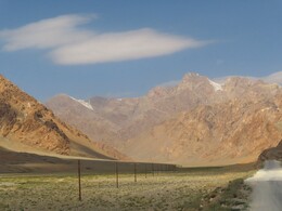
На Памирском тракте много туристов, в основном велосипедистов и мотоциклистов. После Сары-Таша поселков на трассе мало: Каракуль, Мургаб и Аличур (еще дальше начинаются многочисленные кишлаки в долине Гунта). Есть отдельные домики пастухов и дорожных рабочих. Местность открытая, пустынная. Красивые виды на горы, на озеро Каракуль. Не слишком хороший участок дороги -- пограничный перевал Кызыл-Арт (4282м). Дальше дорога лучше, хотя нам встретился один размытый мост, который мы объезжали через весьма глубокий брод (на обратном пути мост был уже немного выровнен бульдозером, так что можно было проехать через него). От границы до Мургаба вдоль дороги идет советская пограничная система: колючая проволока и контрольно-следовая полоса. Она была построена в 70-е вдоль границы с Китаем, но в сухом климате на удивление хорошо сохранилась. Перед Мургабом -- самый высокий перевал, Акбайтал (4655м), за Мургабом перевал Найзаташ (4314м), тут дорога опять не слишком хорошая, а за Аличуром, в районе перевала Тагаркаты (4168м) она еще хуже. "Стиральная доска", по которой медленно ползут фуры из Китая в сторону Душанбе. Где-то попадаются куски старого асфальта. Часто есть объезды сбоку по степи. There are many tourists on the Pamir Highway, mostly cyclists and motorcyclists. After Sary-Tash there are only a few settlements on the road, Karakul, Murghab, Alichur, and rare buildings for shepherds and road workers. (Further more populated Gunt valley with numerous villages starts). The area is open and deserted. Beautiful views of the mountains and Lake Karakul. The road near the border pass Kyzyl-Art (4282m) is not very good. Further it is getting better, although we came across one recently destroyed bridge (we bpassed it via a quite deep ford; on the way back the bridge was repaired a bit and it was possible to use it). Starting from the border and all the way to Murghab an old Soviet barbed fence with plowed strip goes along the road. It was built in the 70's along the border with China, but in the dry climate it is surprisingly well preserved. Before Murghab we are going through the highest pass on the road, Akbaital (4655m), behind Murghab there is Nayzatash pass (4314m), here the road is again getting worse. Beyond Alichur, in the area of Tagarkata pass (4168m) it is even worse. It looks like a washboard, with loaded trucks crawling slowly from China towards Dushanbe. In some places there are patches of old asphalt. Often detours roads split and go parallel in the steppe.
После похода мы вышли в кишлак Патхур на одноименной реке и сразу встретили машину (28 августа, 15:46). Долго ползли по плохой дороге до Аличура, там ужинали (20:40 -- 21:50), в 24:30 приехали в Мургаб, ночевали в том же гостевом доме. Утром выехали в 9:25, обедали в Сары-Таше и в 20:30 приехали в Ош. After the hike, we came to Patkhur village along Patkhur river and immediately met the car (August 28, 15:46). We crawled slowly along a bad road to Alichur, had dinner there (20:40 - 21:50), and at 24:30 arrived in Murghab, We spent the night in the same guest house, left Murghab at 9:25 in the morning, had lunch at Sary-Tash and arrived in Osh at 20:30.
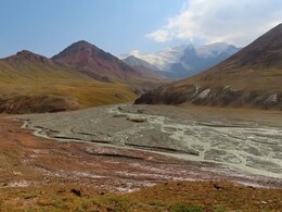
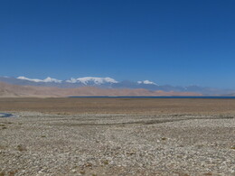
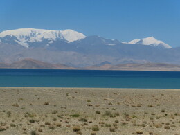
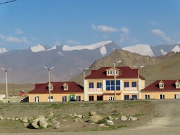
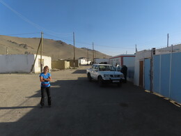
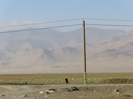
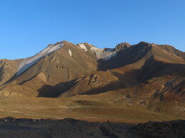
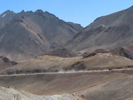
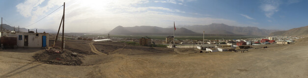
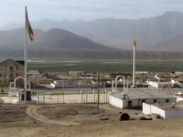
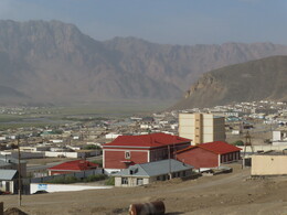
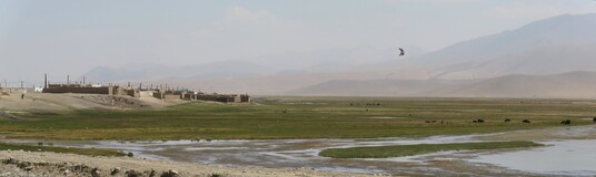
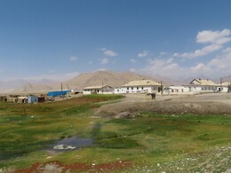
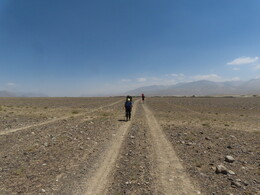
Поход начали в поселке Аличур, у моста через одноименную реку (11:50, высота 3888м). За поселком нашли дорогу, ведущую вниз по реке ее правым берегом. Дорога хорошая, идет по пустынной местности. Вполне можно было подъехать к перевалу (а может быть, и за перевал) на машине. За последними домами -- несложный брод через приток Аличура, реку Чолок-Теке. Через 3.5 километра от поселка дорога подошла к реке и мы остановились на обед (12:43-14:22, высота 3869). Our route starts in the town of Alichur, at the bridge over the Alichur river (11:50, altitude 3888m). There we have found a road down the river along its right bank. The road is good, it goes through a desert area. It should be even possible to drive up to the pass (and maybe even beyond it) by car. Just behind last buildings there is an easy ford across Alichur tributary, Cholok-Teke stream. After 3.5 kilometers from the town the road approach the river and we stop for a lunch (12:43-14:22, altitude 3869).
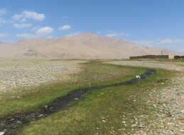
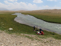
Еще через три километра дорога отходит от реки, обходя небольшой прижим. Тут мы ненадолго ушли с нее и прошли прижим по тропинкам вдоль берега. Здесь же встретили рыбаков, успешно ловящих рыбу с помощью небольшой сетки, прикрепленной к палке. На обходе прижима дорога раздваивается: одна часть уходит севернее и идет на нужный нам перевал Кыянат. Вторая часть возвращается к реке и идет вниз по ней. Мы вышли на нижнюю дорогу и пошли вдоль реки, чтобы не уходить далеко от воды. After another three kilometers the road goes away from the river, bypassing a steep part of river bank. Here we are leaving the road for a while and walking along the river using small paths. Here we met fishermen successfully catching fish using a small net attached to a stick. The road splits: one part goes north to Kyyanat pass we are walking to. Another returns to the river and goes along it. We are choosing the way along the river to be closer to water.
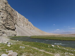
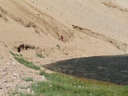
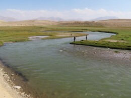
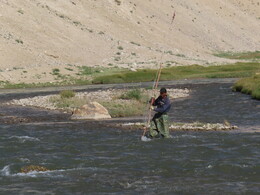
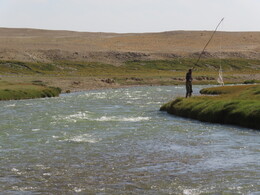
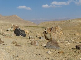
Доходим до устья сухого ручья Джиен-Бай-Джилга, текущего из-под перевала Кыянат, и встаем на стоянку на отмелях у реки Аличур (17:56, высота 3807м). За день прошли 12.5км c набором 65м. Закат около 19:00, Вечером тепло, +17, яркое звездное небо. After reaching the mouth of Dzhien-Bai-Dzhilga stream, which is coming from Kyyanat pass, we stop for the night on flat plane near Alichur river (17:56, altitude 3807m). During the day we have walked 12.5 km with ascend of 65 m. Sunset is about 19:00, evening is warm, +17C, sky is bright and starry.
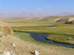
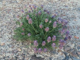
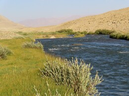
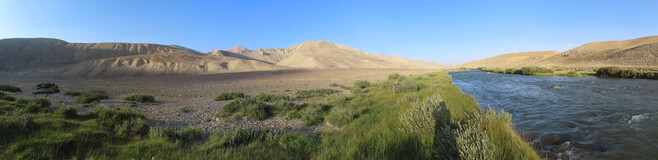
Подъем в 5, вышли в радиалку в 7:10. По удобному склону поднимаемся к перевалу. Перед перевалом выходим на дорогу (она идет от Аличура, мы уходили с нее, чтобы ночевать у реки). Дорога хорошая, часто используемая. Встречаем двух пастухов на мотоцикле. В 9:16 выходим на перевал Кыянат (н/к, 4234м). За перевалом дорога поворачивает направо, в верховья реки Бахмал-Джилга и полого спускается в долину. We woke up at 5 and left our camping place at 7:10. We ascending a convenient slope towards the pass and near it returned to the road (it comes from Alichur, we left it yesterday to spend a night by the river). The road is good and used by people. We meet two shepherds on a motorcycle. At 9:16 we reach Kyyanat pass (n/k, 4234m). Behind the pass the road turns right into the upper reaches of Bakhmal-Dzhilga river and slowly descends into the valley.
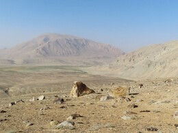
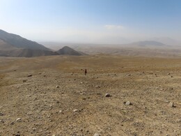
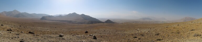
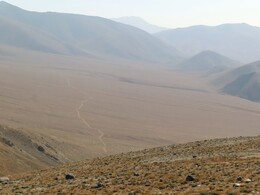
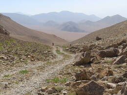
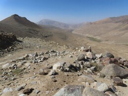
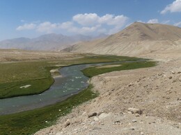
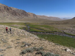
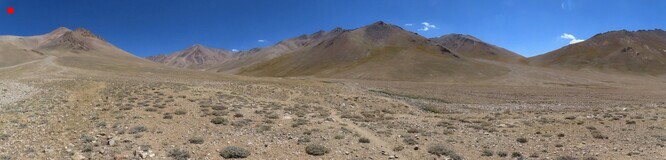
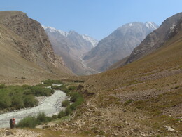
Спустившись в долину, дорога продолжает идти вдоль реки. Тут она ненадолго уходит на правый берег, мы же продолжает идти по левому, чтобы избежать бродов. Местность легко проходима. Обед у родников примерно в 5 км от перевала (11:15-12:45, 4138м). Чуть выше проходим мимо пастушеской юрты, общаемся ее обитателями. Далее долина раздваивается, мы бродим левый исток реки и идем в правый, который называется Саритош. Дорога постепенно становится хуже, но видно, что ее используют. Проходим еще одну юрту. After descending into Bakhmal-Dzhilga valley, the road continues along the river. For a while it goes to the right bank, but we are staying on the left one, to avoid fords. The terrain is easily passable. We stop for the luch near springs at about 5 km from the pass (11:15-12:45, 4138m). A little further we pass by a shepherd's yurt and chat with inhabitants. Further the valley splits, we cross the left source of the river and go to the right one, which is called Saritosh. The road is gradually getting worse, but it is clear that people are using it. Here we are passing by one more yurt.
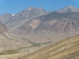
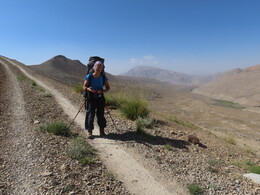
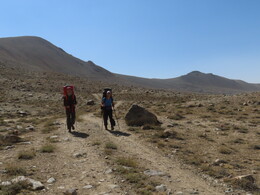
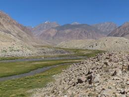
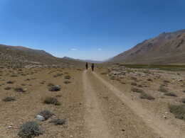
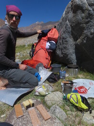
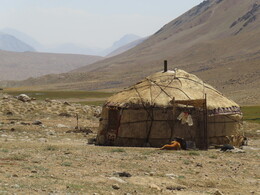
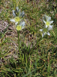

Вдоль реки идут широкие заболоченные низины, чуть выше по долине видна небольшая ступенька долины в районе впадения правого и левого притоков. Завтра мы хотим устроить радиальный выход на вершину, расположенную в верховьях правого притока, поэтому доходим до его впадения. Встаем на стоянку в 16:31 (высота 4421 м). За день прошли 16.4 км с набором высоты 678м. There are swampy lowlands along the river. A little furcher a small valley step is seen. It is located at the place where two tributaries are coming from left and right side. Tomorrow we plan to to a round trip to the peak located in the upper reaches of the right tributary, so we are coming to its mouth and stopping for the night at 16:31 (altitude 4421 m). During the day we have walked 16.4 km with 678 m of ascent.
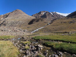
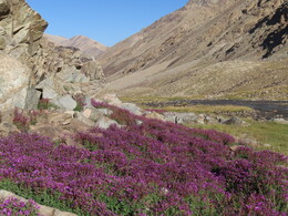
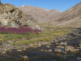
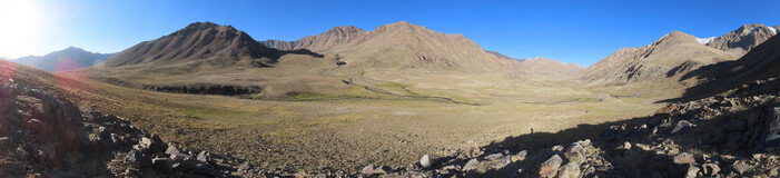
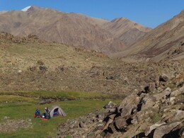
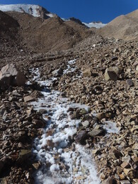
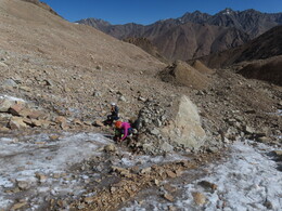
Вышли в 7:00, от стоянки идем вдоль правого притока реки Саритош. По пологому травянистому склону справа по ходу от ручья поднимаемся в висячую долину, к ровной зеленой поляне на реке. Выше долина раздваивается, идем в ее восточную часть. Еще одна ступенька долины с плоской зеленой поляной. Выше начинаются рыхлые морены под ледником, идем вдоль русла ручья. На ручье лед после ночного мороза. На высоте 4850 выходим к нижнему краю ледника, надеваем кошки. Вдоль восточного края основного ледника поднимаемся на хребет. We are leaving our camp for the round trip at 7:00 and walking up the right tributary of Saritosh river. We ascending a grassy slope on the right side of the stream into a hanging valley and reaching a green flat near the stream. Higher up the valley splits, we are heading to its eastern part. There is another step in the valley with another green flat on top. Higher up, loose moraines begin under the glacier; hear we are walking along the stream bed. There is ice on water after night frost. At an altitude of 4850 we reach the lower edge of the glacier and put on crampons. Then we climbing up the ridge along the eastern side of the main glacier.
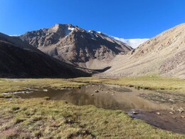
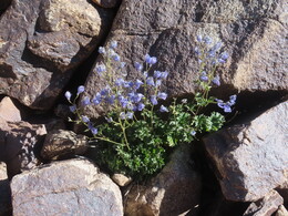
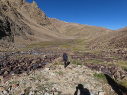
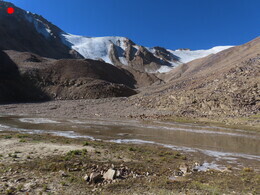
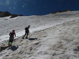
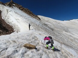
Выходим на хребет на высоте 5120, идем на запад. Проходим небольшой участок скал с несложным лазаньем, выходим на пологие осыпные склоны, поднимающиеся к вершине. We are reaching the ridge at 5120 m and go west along it. There is a small section of rocks with an easy climbing and then easy scree slopes to the very top.
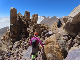
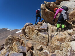
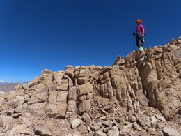
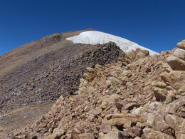
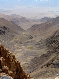
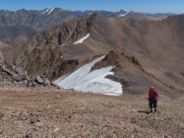
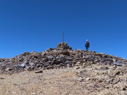
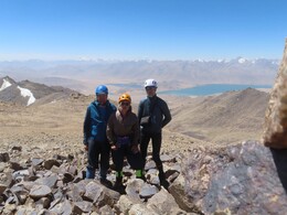
На вершине в 10:20. Предлагамое название "Малжуран" (поскольку это высшая точка хребта Малжуран). На вершине большой тур, записок не нашли. Высота по gps 5300 м. Хороший вид на высокие горы вдали, озера Яшилькуль и Булункуль. Виден Рушанский хребет, горы Богчагир, Шахдарьинский хебет, чуть хуже виден Ваханский хребет, а вот вершины Гиндукуша прячутся в облаках. we arrived at the top at 10:20. The proposed name for the summit is "Maljuran" (since it is the highest point of Malzhuran ridge). At the top there is a big cairn, but we have not found any notes. Altitude according to GPS is 5300 m. Good view of high mountains, lakes Yashilkul and Bulunkul. One can see Rushansky ridge, Bogchagir mountains, Shakhdara ridge. View of Wakhan ridge is a little foggy and peaks of the Hindu Kush are completely hidden in clouds.

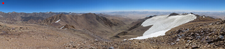
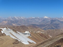
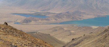
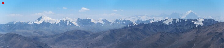


От вершины продолжаем идти по хребту на запад, обходя оба цирка долины, из которой мы поднялись. По пути проходим еще два больших тура. Идти в целом удобно, хотя иногда встречаются крупные осыпи. На стоянку спускаемся в 14:39, решаем дальше не идти, варим обед, отдыхаем. За день прошли 10.4км с набором высоты 947м. From the summit we continue to walk along the ridge to the west, going around both circuses of the valley from which we came. Along the way we passed by two more big cairns. The terrain is quite comfortable, apart from a few peaces of talus with big boulders. We returned to our camping place at 14:39 and decided not to go further. We are cooking lunch and spending rest of the day in the camp. During the day we have walked 10.4 km with 947 m of ascent.
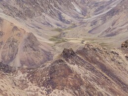
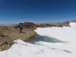
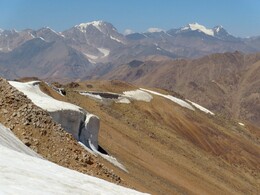
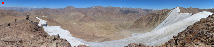
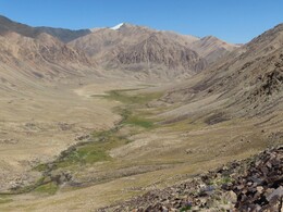
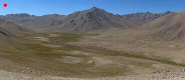
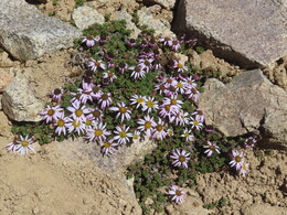
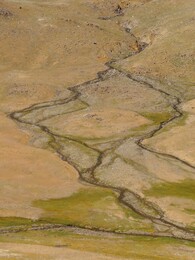
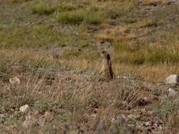
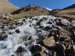
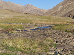
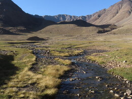
Вышли в 7:07. По широкой плоской долине подходим под перевал, поднимаемся по несложным каменисто-травяным склонам. Хребет между реками Саритош и Чангиль пологий, в нем есть несколько возможных перевалов примерно одинаковой высоты. На перевале в 10:10. Предлагаемое название "Саритош", по названию реки. Высота 4260м, сложность 1А. Следов людей не обнаружили, сложили тур, оставили записку. We are leaving our camping place at 7:07. Along a wide flat valley we approaching the pass, and ascending it on easy grassy slopes with some rocks. The ridge between Saritosh and Changil rivers is smooth and has a few possible passes, approximately of the same height. We came to the pass at 10:10. Suggested name "Saritosh", after the name of the river. Height 4260m, difficulty grade: 1A. No traces of people have been found. We have build a cairn and left a note.
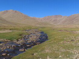
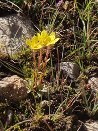
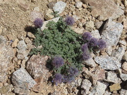
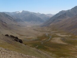
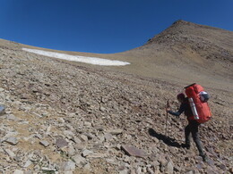
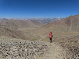
Спуск с перевала чуть круче подъема. Сперва по мягким осыпям, потом по пологим травяным склонам. Ниже начинается тропа, пасутся яки. Обедаем у поворота долины направо, перед приходом дороги с низкого перевала из долины Курукджангиль (11:35-13:09, высота 4260м). The descent from the pass is slightly steeper than the ascent. First it's soft screes, then easy grassy slopes. Lower trails begin, yaks are grazing. We have our lunch at the place where the valley turns to the right (11:35-13:09, altitude 4260m). A bit further there is a car road coming from Kurukjangil valley through a low pass.
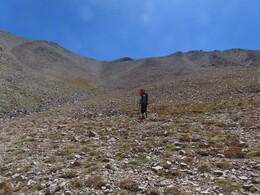
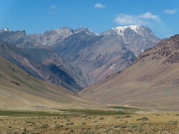
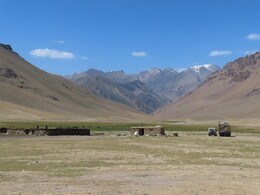
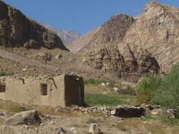
После обеда выходим на дорогу, идем вниз по долине. Проходим пастушеское хозяйство: дом, загоны, пасущиеся лошади и коровы. У дома стоят УАЗ и ГАЗ66. К нам никто не вышел, хотя дети из двери выглядывали. After lunch we go onto the road and walk down the valley. Passing by a shepherds' farm: a house, pens, grazing horses and cows. Near the house two cars are parked: UAZ and GAZ-66. No one came out to meet us, although children were looking out of the door.
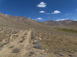
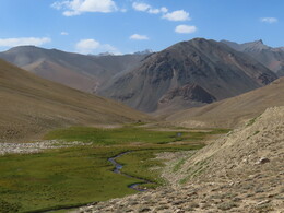
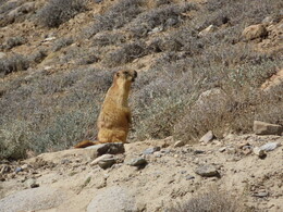
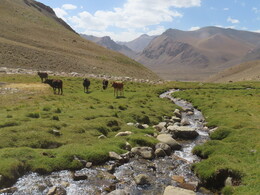
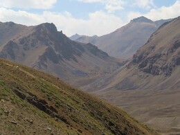
Ближе к устью долина сужается, дорога идет по склону правого берега. Выходим в большую долину реки Карадюмюр (Большой Марджанай). Тут большие пустынные пространства с редкими колючками, моренные гряды. Проходим немного вниз по долине, уходим с дороги и бродим реку (брод чуть ниже колена, вода мутная). На правом берегу находим дорогу к пер. Дузахдара. Closer to the mouth the valley is getting narrow and the road goes along the slope of the right bank. We are entering Karadumur (or Great Marjanai) valley. It's a large arid valley with rare thorns and moraine ridges. We walk a little down the valley, then leave the road and cross the river (the ford is about knee deep, the water is muddy). On the right bank we find the road to Duzakhdara pass.

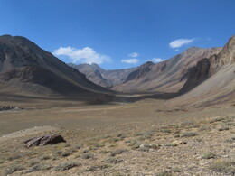
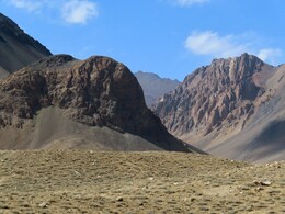
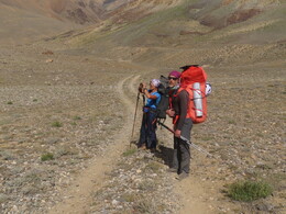
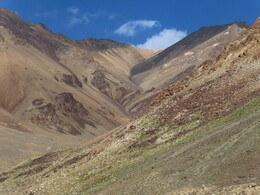
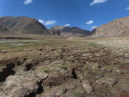
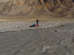
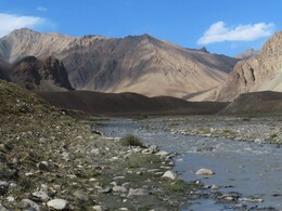
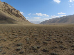
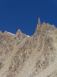
Дорога входит в ущелье перевала Дузахдара (н/к, 4260м), обходя справа характерный остроконечный холм. Похоже, тут, в узкой щели между долинами Большого и Малого Марджаная, еще недавно лежал ледник. Все перегорожено свежими моренными валами, дорога петляет между ними. Воды нет, хотя иногда встречаются зеленые полянки в складках морены. Выраженной перевальной седловины нет: ущелье кончается низиной, врезанной в плоскую долину Малого Марджаная. Из низины можно подняться в любую сторону. Тут мы уходим с дороги, проходим примерно 700м на северо-запад и встаем на ночевку в широкой плоской тундре в пойме реки (18:08, высота 4265м). За день прошли 20.3км с набором высоты 802м. The road enters the gorge of Duzakhdara pass (n/a, 4260m) going around a distinctive pointy hill. It seems that here, in a narrow gap between Great and Little Marjanai a small glacier existed until recently. Everything is blocked with fresh moraine heaps, the road winds between them. There are no water sources though sometimes bright green patches are hiding in moraine folds. There is no well-defined saddle point on the pass: the gorge ends with a low plane cut into a flat valley of Little Marjanai, one can choose any direction to ascend to the valley. We are leaving the road and walking about 700m to the northwest, to a decent campling place in a wide flat tundra near the river (18:08, altitude 4265m). During the day we have walked 20.3 km with 802 m of ascend.
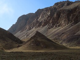
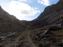
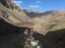
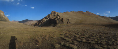
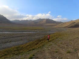
Вышли в 6:30, идем вверх по долине реки Малый Марджанай, сперва по плоской тундре, потом по пологим моренным холмам центра долины, между двумя истоками реки. Местность удобная для передвижения, иногда встречаются автомобильные колеи. Наш следующий перевал хорошо виден в конце долины. We are leaving our camping place at 6:30 and walking up the valley of Little Marjanai. The places are flat at first, then smooth moraine hills start in the center of the valley, between two sources of the river. The terrain is good for walking, weak traces of cars are seen sometimes. Our next pass is clearly visible at the end of the valley.
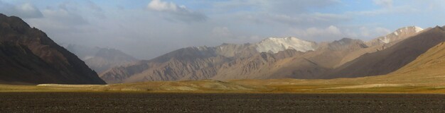
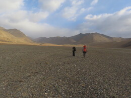
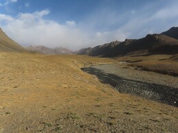
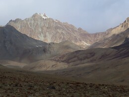
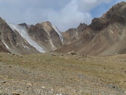
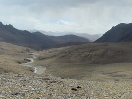
Выходим в верховья левого (основного) истока. По правому берегу обходим небольшой нижний каньон, подходим к более масштабному верхнему. Разведываем пути обхода, обедаем (10:20-11:41, высота 4618 м). Каньон обходим по левому берегу, это наиболее удобный путь. We are coming to upper reaches of the left source of the river. There is a small canyon, we are walking around it along the ridght bank. Further there is a bigger canyon. We stopped below it, walked around to find the best way and to have lunch (10:20-11:41, altitude 4618 m). Then we are going around the canyon along the left bank, this is the most convenient way.
Погода неустойчивая: утром в южной части неба сплошная облачность, сильный холодный ветер. На обеде начинает немного сыпать снег, после обеда снегопады становятся сильнее. The weather is unstable: in the morning the southern part of the sky was completely cloudy, strong cold wind was blowing. At lunchtime it starts to snow a little, after lunch the snowfalls become heavier.
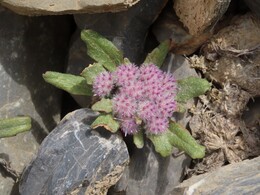
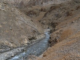
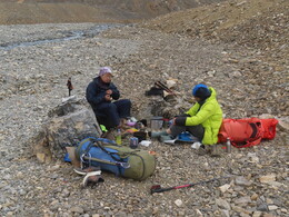
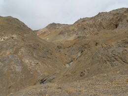
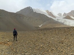
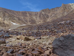
Выше каньона начинается морена ледника, идем ближе к ее верхнему краю, по левому борту долины. Напротив нас -- два языка ледника, под каждым -- озерцо. Заходим в небольшую долинку под нужным нам перевалом. Тут снежник, от его верхнего края подъем 150 метров по крутым осыпям. В верхней части осыпь круче и крупнее. Above the canyon the glacier moraine begins, we go closer to its upper edge, on the left bank of the valley. Two tongues of glacier are seen on the other side, with lakes under each one. We entering a tiny valley under the pass we need. There is a snow patch there, from its upper edge there is a 150-meter climb along steep screes. The upper part of the the scree is more difficult, with larger boulders and steeper slope.
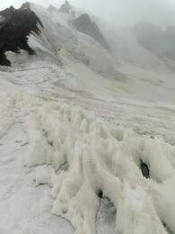
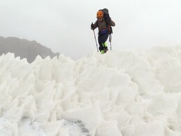
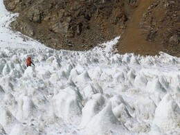
В 15:25 выходим на перевал. Предлагаемое название -- Малый Марджанай (по названию реки), сложность 1Б, высота 5124м. Соединяет верховье реки Малый Марджанай с центральным истоком реки Рамаиф. Перевальная седловина -- длинный осыпной гребень одинаковой высоты. Следов людей не нашли, сложили тур, оставили записку. С северной стороны к перевалу примыкает плоский ледник, открытый, без трещин, но с кальгаспорами и разными жесткими ледовыми структурами -- идти не очень удобно. Спускаемся почти до низа ледника, выходим на морену у правого борта долины. At 15:25 we reach the pass. Proposed name: Little Marjanai (by the name of the river), difficulty grade 1B, height 5124m. The pass connects upper reaches of Little Marjanai river with the central source of Ramaif river. The pass saddle is a long scree ridge of uniform height. There was no traces of people on the pass. We build a cairn and left a note. North side of the pass is a flat glacier. Open ice without cracks, but with calgaspores and various ice structures, not very convenient for walking. We are going down on the glacier almost to its bottom, then switching to the moraine on the right side.
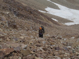
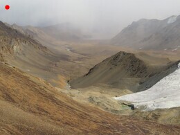
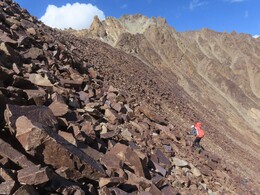
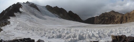
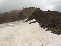
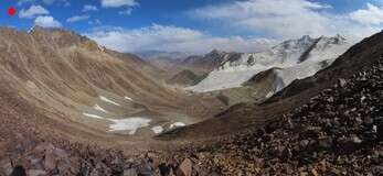
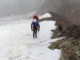
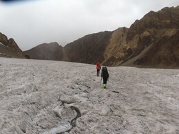
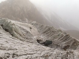
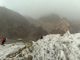
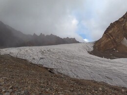
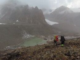
Ниже ледника довольно утомительный спуск по моренам. Проходим почти высохшее озерцо. Тут есть небольшой ручей и площадки, но решаем идти дальше. Проходим небольшой участок долины, заваленный крупными камнями и спускаемя к озеру под впадающим слева ледником. Выходим на травянистые поляны у реки и встаем на ночевку (17:49, высота 4676 м). За день прошли 16.3км с набором высоты 906м. Особенно сильный снегопад накрывает нас в момент постановки палатки, потом погода успокаивается. Descent along moraines is quite exhausting. Not far from the glacer we are passing by an almost dry lake, there is a small stream and decent places for a tent, but we decide to go further. Below there is a section of the valley, littered with huge boulders. Another glacier is coming from the left side, we are descending to a lake under it. Near the lake we are reaching grass meadows and stopping for the night (17:49, altitude 4676 m) near a stream. During the day we have walked 16.3 km with 906 m of ascent. There is a particularly heavy snowfall at the time of setting up the tent, then the weather calms down.
Утром мороз -4, погода хорошая. За ночь выпало еще немного свежего снега. Переходим речку у стоянки, утром вода сильно упала, можно перейти по камням. Перелезаем моренный вал, поднимаемся к нижнему краю ледника, ведущего на нужный нам перевал. Идем вверх по леднику в кошках, справа от реки на леднике. В низовьях ледник не слишком ровный, потом становится лучше. In the morning the weather is good and cold, -4C. A little more fresh snow fell overnight. We are leaving our camping place and crossing the river near it. The water level dropped significantly during the night, it's possible to cross on dry stones. We climb over a moraine ridge and ascend to the bottom edge of the glacier, leading to the pass we need. There is a stream on the glacier, we are walking on the right-hand side of it using crampons. Lower part of the glacier is not very smooth, further It's getting better.
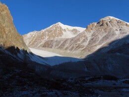
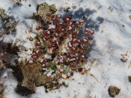
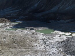
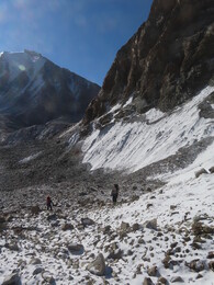
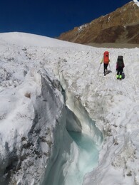
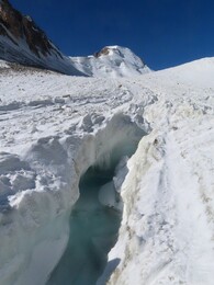
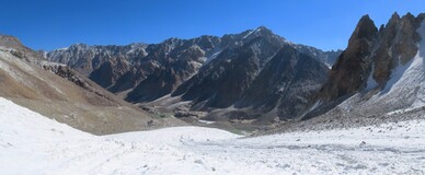
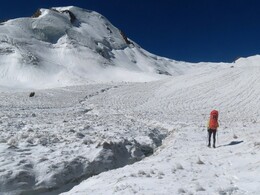
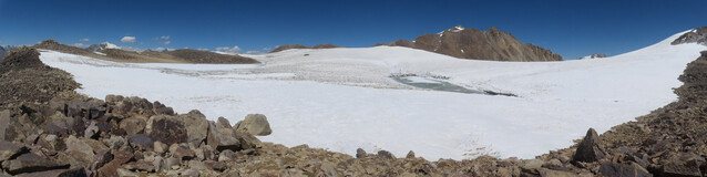
В верховьях ледник поворачивает направо и поднимается на обширное перевальное плато. Наверху большое замерзшее озеро. Мы сперва сунулись обходить его слева, но там начался закрытый ледник. Связываться поленились, вернулись и обошли озеро справа, пересекая несколько трещин. За озером небольшой подъем, за ним продолжение плато, еще два замерзших озера и скально-осыпной гребень, за которым начинается спуск с перевала. In the upper reaches the glacier turns right and ascends to a vast plateau. There is a large frozen lake at the top. First we tried to go around it on the left, but a cracked glacier covered with snow began there. Being too lazy to use ropes, we returned a bit and walked around the right-hand side of the lake, crossing a few cracks. Behind the lake there is a slight ascent to the upper part of the plateau with two more frozen lakes. After crossing it we came to a rocky ridge, behind which a scree descent from the pass begins.
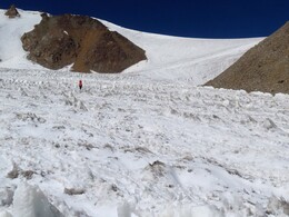
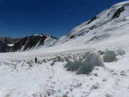
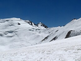
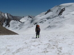
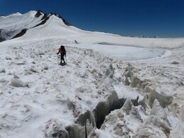
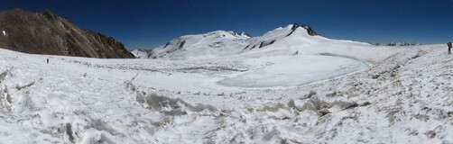
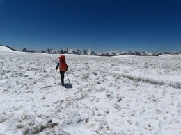

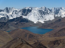
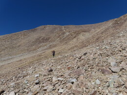
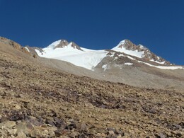
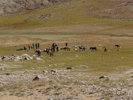
Спуск по удобным осыпям, выход к большому озеру 4588м. Знакомые места: в 2008 году из этой долины мы поднимались на вершину Лянгар и затем уходили на север, к Сарезскому озеру. У озера 4855м встречаем группу немецко-австрийских туристов с гидом, лошадьми, ослами и кучей вещей. Они собираются подниматься на Лянгар (говорят, что это популярная вершина для таких туров -- не после нашего ли отчета?). Пообщались с одним парнем из Баччора и с одним немцем, остальные были заняты установкой лагеря и нами не заинтересовались. Descent on screes is comfortable. We are heading to a large lake 4588m. The places are familiar: in 2008 we were here. From of this valley we had climbed to the top of Langar peak and then went north to Sarez lake. At the lake 4855m we meet a group of German and Austrian tourists with a guide, with many horses, donkeys and a lots of luggage. They're going to climb Langar (they say that this is a popular peak for such tours - wasn't it after our 2008 report?). We chatted a bit with one guy from Bachchor village and with one German, the rest people were too busy setting up the camp.
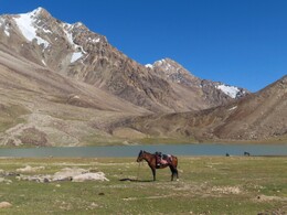
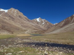
В 17:10 дошли до озера Чапдар и встали на стоянку (высота 4530 м). За день прошли 11.8км с набором высоты 657м. At 17:10 we reached Chapdar lake and stopped for the night (altitude 4530 m). During the day we have walked 11.8 km with 657 m of ascent.
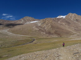
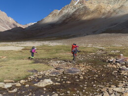
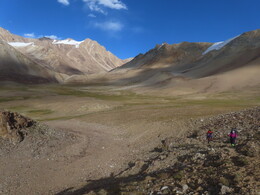
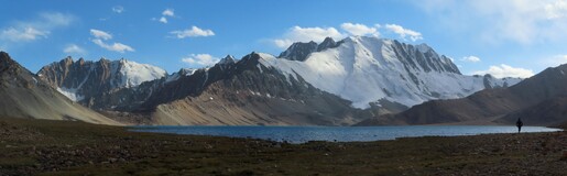
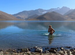
Выходим в 6:57, обходим справа озеро Чапдар. На последнем мысу останавливаемся купаться, тут очень удобное для этого место. Интересно, что глубокие места относительно теплые, в то время как в мелких заливах озера еще лежит утренний лед. We leave our camping place at 6:57 and go around Lake Chapdar to the right. On the last cape we stop for a bath, this is a very convenient place for this. It's interesting that deep places in the lake are relatively warm, while shallow bays are partially frozen.
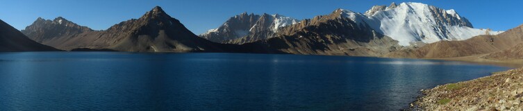
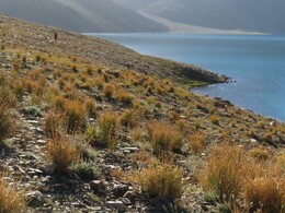
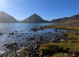
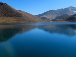
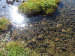
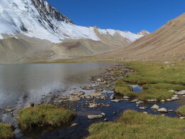
Идем на перевал Гипротранс. На подъеме пологая долина с несколькими небольшими озерами. Встречаются туры, но выраженной тропы скорее нет. Озеро перед перевалом обходим справа по крупным глыбам (обход слева, возможно, удобнее). From the lake we are going to Giprotrans pass. There is a flat valley with several small lakes. There are a few cairns on the way, but no pronounced trail. We go on the right side of the last lake near the pass. There are large boulders on this way, probably the left side of the lake is better.
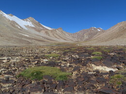
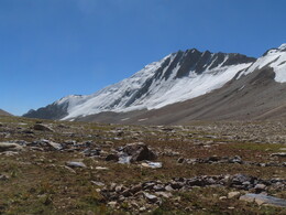
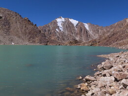
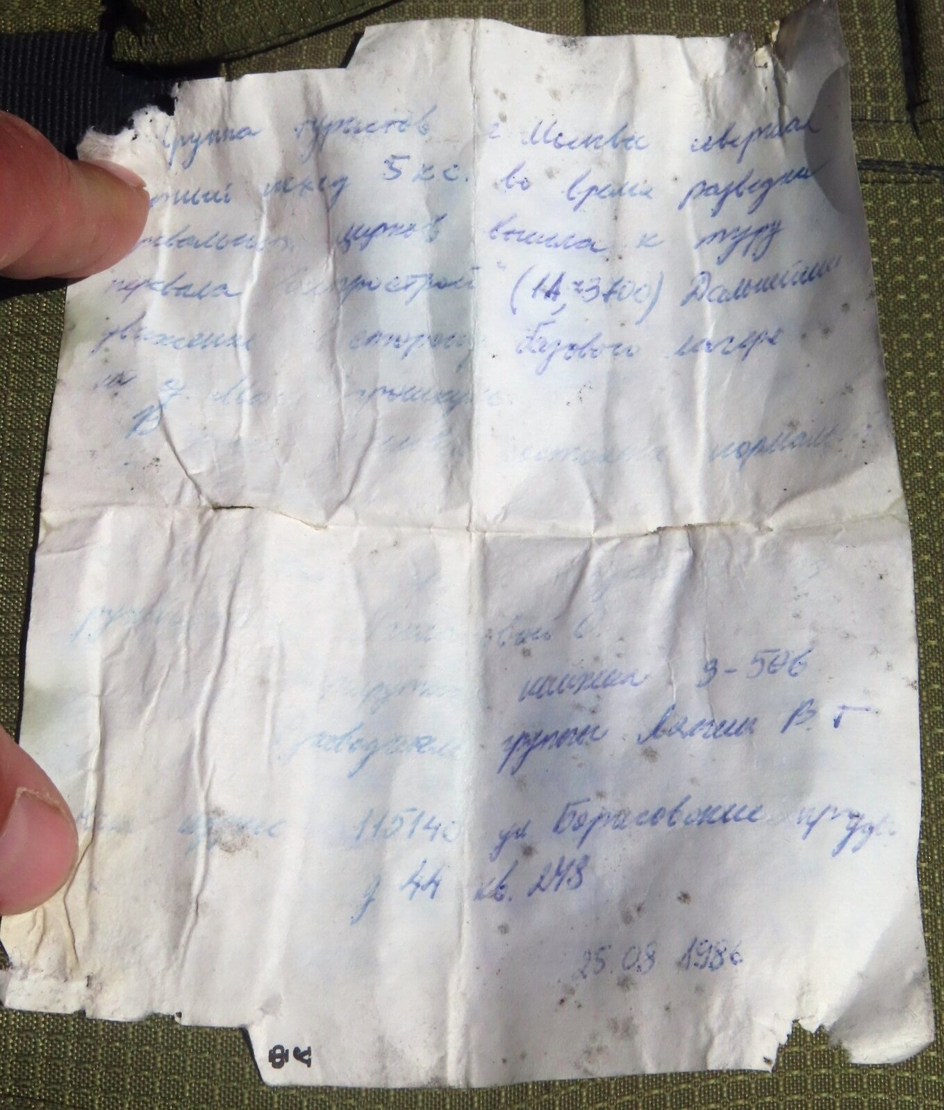
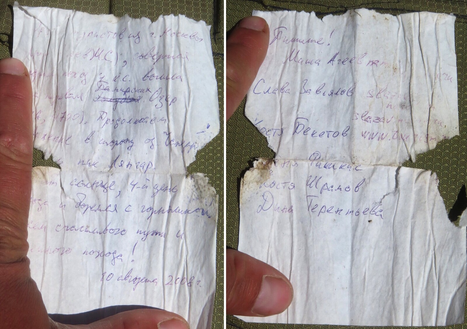
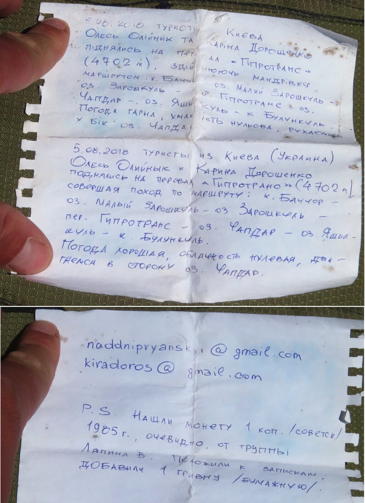
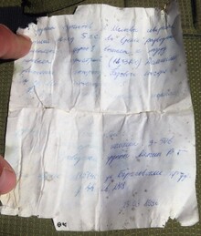
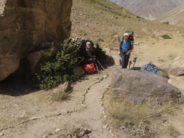
На перевал Гипротранс (1А, 4692м) вышли в 10:50. Нашли нашу записку 10 августа 2008 года, и записку В.Ляпина 15 августа 1986 года (ее мы тогда не снимали), и записку киевлян О.Олийныка и К.Дорошенко 5 августа 2018 года. Судя по всему, перевал использыется местными жителями: на подходах попадаются обрывки троп, маркированные турами. We reached Giprotrans pass (1A, 4692m) at 10:50. Found our note on August 10, 2008, and a note from V. Lyapin on August 15, 1986 (we have not taken it in 2008), and a note from O. Oliynyk and K. Doroshenko from Kyiv on August 5 2018. Apparently, the pass is also used by local people: there are cairnes and pieces of trail on both sides.
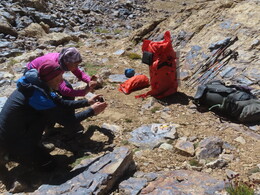
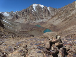
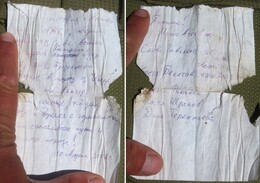
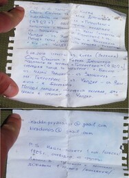
С перевала довольно крутой спуск к двойному озеру. Идем по турам, первое озеро обходим справа, второе -- слева. Дальше спускаемся по красивой долине к озеру Малый Зарошкуль. Четкой тропы тут нет, местами встречаются отдельные куски. Перед спуском к озеру неплохая тропа вылезает на хребтик левого берега и спускается с него вниз, на основную тропу, идущую вдоль озера. There is a rather steep descent from the pass to a double lake. We are following cairns, passing by the first lake on its right side, and the second one on left side. Further there is a beautiful valley to Little Zaroshkul lake. There is no continuous trail here, only some pieces sometimes. Before the final descent to the lake a dicent trail appears and climbs to a small ridge on the left side of the stream, goes down and joins with a big trail running along the lake.
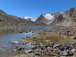
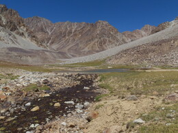
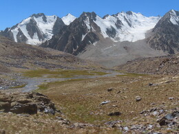
В 13:29 встаем на стоянку у озера Малый Зарошкуль, у родников перед прижимом в северной части озера. Устраиваем полудневку. Высота 4312м, за день прошли 12.9км с набором высоты 172м. Снизу проходит немецкая туристка с гидом, лошадью и двумя ослами. Идет от Баччора на Зарошкуль, потом на Чапдар, Яшилькуль, с финишем в Булункуле. Они уходят выше по долине. Купаемся в озере, стираемся, гуляем по окрестностям. At 13:29 we are stopping near Little Zaroshkul lake, near springs, just before steep rocky coast in the northern part of the lake. Staying in the camp for the rest of the day. The altitude is 4312 m, during day we have walked 12.9 km with 172м of descent. A German female tourist with a local guide is coming from lower side of the valley. They have a horse and two donkeys for luggade. They go from Bachchor to lakes Zaroshkul, Chapdar, and Yashilkul, with the finish in Bulunkul village. They are leaving further along the trail. In the afternoon we are bathing in the lake, doing laundry, and walking around the neighborhood.
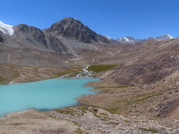
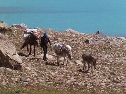
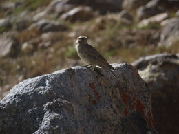
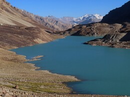
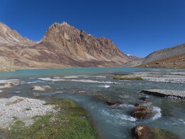
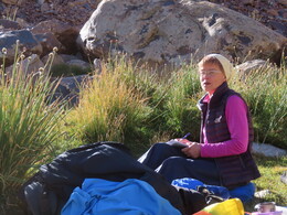
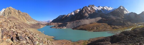
Вышли в 6:52, идем по мощной тропе. Проходим прижим в северной части озера, выходим в широкую долину речки, впадающей в озеро. Проходим оборудованную туристскую стоянку с каменным домиком и лавочками. Тут ночует встреченная вчера туристка: стоят две палатки, переносной душ и туалет. На OSM это место называется Цахин. We are leaving our camping place at 6:52 and walking along the lake on a big trail. We a passing a steep rocky bank and entering a wide valley at the north side of the lake. Here we are passing by a camping place with a small stone house and benches. The German tourist we met yesterday is staying here: there are two tents, portable shower and toilet. On OSM this place is called Tsakhin.
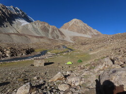
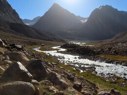
Пытаемся искать брод через реку. Кажется, ее можно было удобно перебродить на равнине у озера, где она разбивается на протоки. Мы попробовали переправиться выше, под характерным водопадом, но брод нам показался сложным и мы переходить не стали, продолжили идти по левому берегу. Тут есть тропа, но выше на реке начинается не слишком удобное для прохождение ущелье с крупными камнями. Кажется, что путь по правому берегу должен быть лучше. We are trying to find a ford across the stream. It seems it could be better to cross it on flats near the lake, where it breaks into smaller parts. We tried to cross it higher, under a distinctive waterfall, but this place was a bit too deep and we continued walking along the left bank. There is a path here, but higher up we have to walk through a hardly passable gorge filled with large boulders. Probably, the path along the right bank is much better.
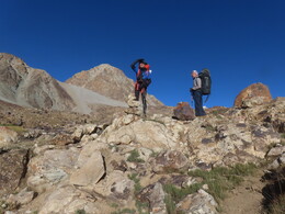
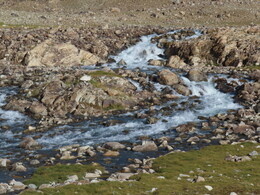
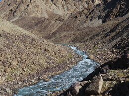
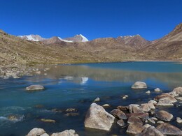
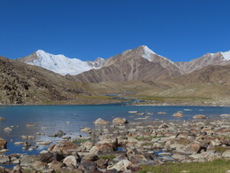
Выходим к небольшому озеру на реке и выше него находим удобное место брода. На правом берегу видим приходящую снизу тропу, но тут она как раз уходит на левый берег, чтобы обходить озеро Зарошкуль справа, через небольшой перевал Выхынч Нижний. Нам же надо обходить озеро слева. Finally we come out to a small lake on the stream and above it we find a convenient ford. On the right bank we see a good path coming from down the stream, but here it crosses it and goes to the right side of Zaroshkul lake, to a small pass Low Vyhynch. We need to go left around the lake.
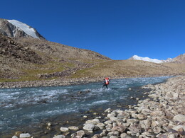
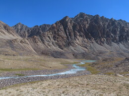
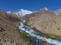
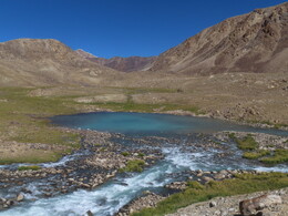
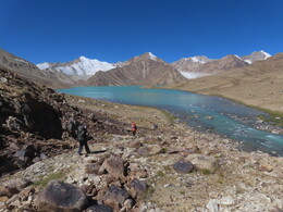
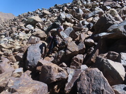
Вдоль реки выходим к озеру Зарошкуль, идем по его юго-восточному берегу. Первая половина пути простая, потом начинаются все более крупные осыпи, круто спускающиеся в воду. Встречаются выходы льда. Идем pпо комням у воды, в самом конце ненадолго вылезаем чуть выше, на полку над озером. Along the river we are coming to lake Zaroshkul and walking along its southeastern coast. The first half of the way is simple, then scree slopes with bigger and bigger boulters begin. In some places ice is coming out of the slopes. First we are walking on boulders close to water, later we climbing a little higher, onto a shelf above the lake.
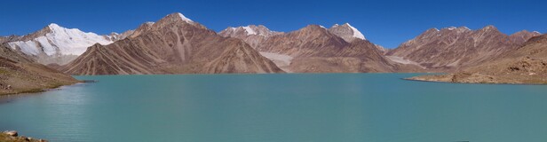
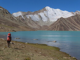
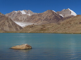
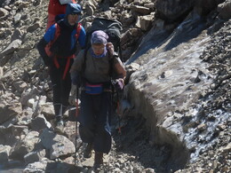
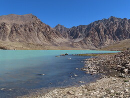
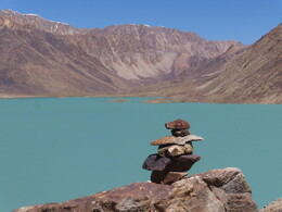
Наконец, выходим к долине реки, вытекающей из-под ледника Уар, уходим от озера Зарошкуль. Тут просторные зеленые поляны, идти легко. Впереди хорошо видна внушительная ледовая вершина 5783, она, а также пока прячущаяся за ней вершина 5722, -- одни из главных вершин в этом районе. Пройдя немного от озера, останавливаемся на обед (11:57-13:42, высота 4548 м). Finally, we are leaving Zaroshkul lake and coming out to the valley of a stream flowing from Uar glacier. There are spacious easy-walkable green meadows. Ahead an impressive ice peak 5783 m is clearly visible. This peak, and another one, 5722 m, hidden behind it, are among highest summits in this area. A bit further from Zaroshkul lake we stop for lunch (11:57-13:42, altitude 4548 m).
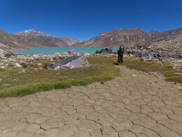
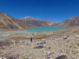
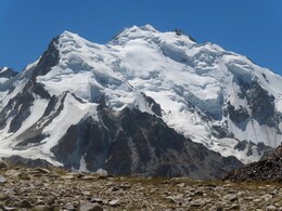
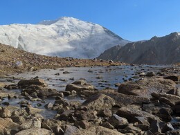
После обеда быстро выходим к большому мутному озеру под ледником Уар. Из-за жалоб на самочувствие решаем не лезть сегодня на ледник, а заночевать внизу, в более теплых условиях. Мутное озеро окружено песчаными моренами, в них есть довольно удобные места для стоянки с родниками и небольшими прозрачными озерами. После прогулок по окрестностям находим хорошее место на южной стороне большого озера, в месте, где к нему примыкает другое, прозрачное озеро. Озера разделены узкой песчаной перемычкой с перепадом высоты в пару метров. От стоянки красивый вид на озеро, ледник Уар, гору Сафедоб в его верховьях и, конечно, на гору 5783. Останавливаемя на стоянку в 15:36. Высота 4571 м, за день прошли 10.8км с набором высоты 331м. After lunch we quickly come to a large muddy lake under Uar glacier. Due to some health complaints, we decide not to climb the glacier today, but spend the night below, in a warmer place. The muddy lake is surrounded with sandy moraines, with multiple good places for camping, with springs and small transparent lakes. After wandering around the area we find a good place on the south side of the large lake, in a place where another big clear lake comes close to it. Both lakes are separated with a narrow sandy bridge with a height difference of a couple of meters. The camping place has a beautiful view of the lakes, Uar glacier, Mount Safedob in its upper reaches, and, of course, the peak 5783 m. We stop for the night at 15:36. Altitude is 4571 m, during the day we have walked 10.8 km with 331 m of ascent.
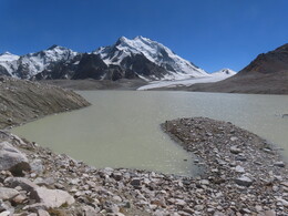
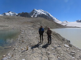
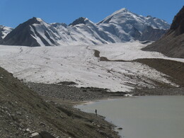

Вечером гуляли по окрестностям, обходили вокруг прозрачного озера. Лёня вдоль мутного озера дошел до ледника, а также сходил на низкий перевал к реке Уар (седловина расположена сразу за прозрачным озером, на ней есть тур без записок). In the evening we walk around the clear lake. Lenya along the muddy lake reached the glacier, and also went to a low pass to river Uar (the saddle is located immediately behind the clear lake, there is a cairn on the pass, but no notes have been found).
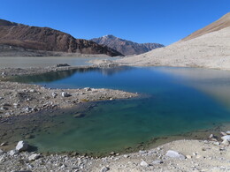
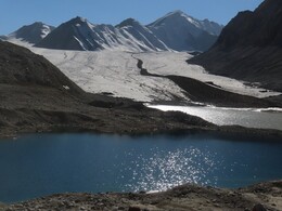
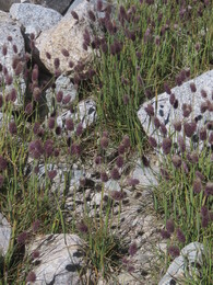
Вышли раньше обычного, в 6:41. Несложный обход озера, пологий выход на ледник Уар. Ледник удобный для движения. Несколько раз пересекаем ручьи на леднике, достаточно маленькие, чтобы без проблем находить место перехода. Впереди виден перевал 90л Новосибирска и левее него еще одна седловина, ведущая в соседний приток р.Сафедоб (информации про этот перевал нет, но, похоже, он несложный). Наш перевал правее, скрыт за отрогом, разделяющим северный и южный истоки ледника. We are leaving our camping place earlier than usual, at 6:41. There is an easy way around the lake and gentle ascent to Uar glacier. The glacier is very good for walking. A few times we cross streams on the glacier, they all are small enough to find a wind a way across. In front of us there is pass of 90-years of Novosibirsk, and one more saddle on the left of it. This left pass is leading to the neighboring tributary of Safedob river, there is no information about it, but it seems to be easy. Our pass is on the right, hidden behind a spur separating the northern and southern sources of the glacier.
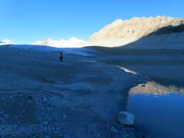
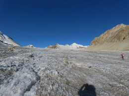
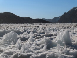
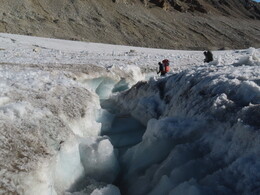
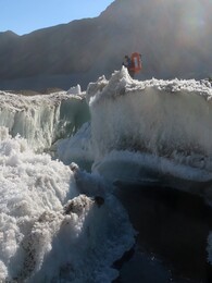
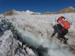
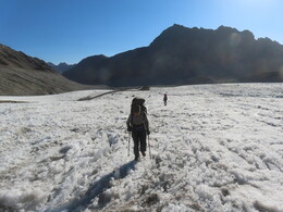
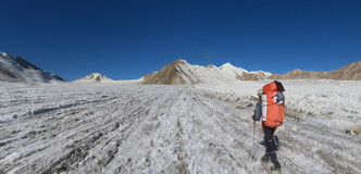
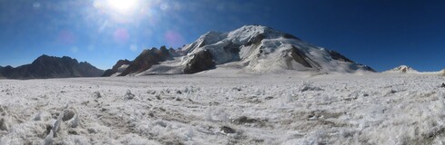
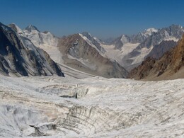
Обойдя отрог, заходим в цирк под нужным нам перевалом. Тут ледник менее ровный, есть несколько больших трещин-воронок, заполненных водой (довольно типичный рельеф для здешних ледников). Надеваем кошки, еще чуть выше связываемся, так как начинают попадаться трещины, закрытые снегом. Выраженного перевального взлета нет, ледник полого выходит к седловине, У седловины есть несколько больших трещин, которые, впрочем, легко обходятся. Having gone around the spur, we enter a circus under the pass we need. The glacier here is less smooth, there are several large cracks-funnels filled with water (quite typical terrain for glaciers in this area). We put on crampons. A bit further ice is covered with snow, so we are walking roped. There is no pronounced ascent to the pass, the glacier gently rises towards the saddle. There are a few big crevasses near the saddle, but it's possible to go around them.
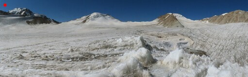
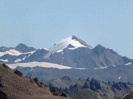
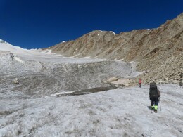
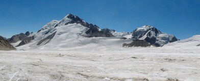
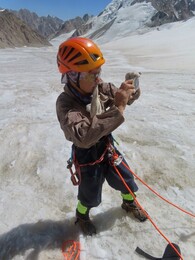
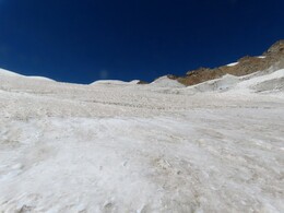
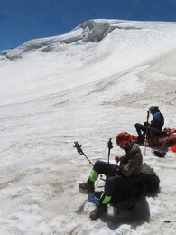
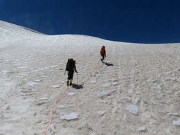
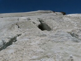
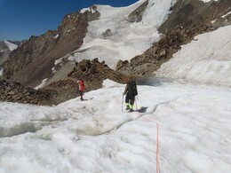
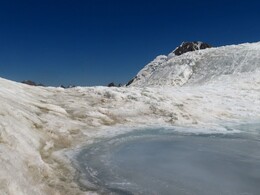
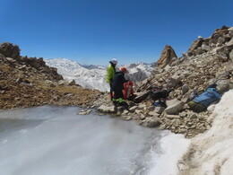
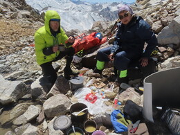
Выходим на перевал. Предлагаемое название: "Сафедоб", по названию соседней вершины. Сложность 1Б, высота 5152 м. Следов людей не нашли, сложили тур, оставили записку. Обедаем у небольшого озерца на седловине (12:06-13:36). We arrived to the pass. Suggested name "Safedob", by name of the neighboring peak. Difficulty grade 1B, altitude 5152 m. No traces of people have been found, we build a cairn and left a note. There is a small lake on the saddle where we have lunch (12:06-13:36).
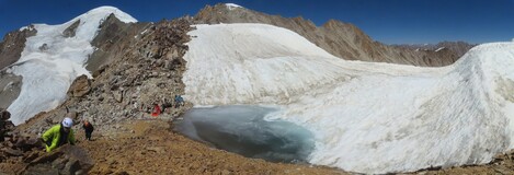
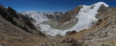
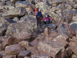
Спуск c перевала по крутой живой осыпи, примерно 150м. В начале осыпь мелкая, идти удобно. Внизу камни становятся крупнее, под конец приходится лазать по большим подвижным глыбам -- не слишком комфортно. Снизу видно, что с чуть более высокой южной седловины спуск может быть удобнее, по мелкой осыпи. The descent from the pass goes on steep screes, the drop is about 150m of altitude. At the beginning the scree is good for walking, at the end boulders become larger and larger, end of the way is quite uncomforable. From below we see that slightly higher southern saddle can have better descent.
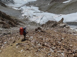
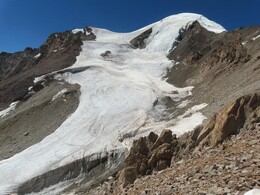
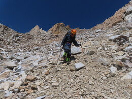
Выходим на ледник. Левая его сторона ровнее, но мы уходим на правый борт, чтобы найти место для стоянки (над левым висят ледники и иногда падают камни камни, страва же есть каменные морены). Долго выбираем место, наконец находим хорошее, на песчаном холмике, далеко от всех камнеопасных склонов. Встаем в 16:02 (высота 4851 м). За день прошли 8.6км с набором высоты 636м. We descend to a glacier under the pass. Its left side is smoother, but we want to go to the right side to find a camping place (there are hanging glaciers above the left side, sometimes stones are falling there). It takes some time to choose a good place but finally we find a good sandy hill, far from all scary slopes. We are stopping at 16:02 (altitude 4851 m). During the day we have walked 8.6 km with 636 m of ascent.
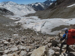
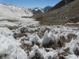
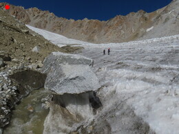
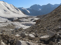
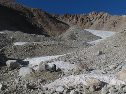
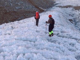
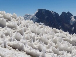
Вышли в радиалку на вершину Сафедоб в 6:41. Ледник сперва пологий, примерно с высоты 5100 начинается серия взлетов, надеваем кошки. Лед довольно мягкий, иногда со снежными кальгаспорами. Трещин немного. Наиболее длинный и крутой взлет -- первый, с разрушенными скалами слева по ходу. На пути наверх я прошел по скалам, на пути обратно по скалам прошел Лёня. We are leaving our camp for the round trip to Safedob peak at 6:41. The glacier is flat in the beginning. From about 5100 m a series of steep ascents begins and we put on crampons. Ice is quite soft, sometimes with snowy calgaspores. There are only a few cracks. The first ascent is the steepest one, with destroyed rocks on the left-hand side. On the way up I walked along the rocks while others were climbing on ice, on the way back Leonid descended on the rocks.
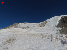
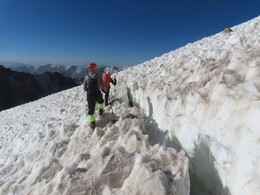
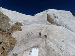
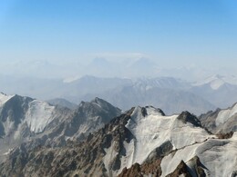
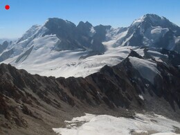
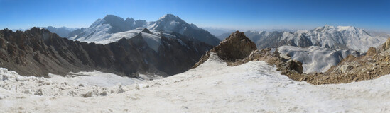
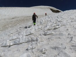
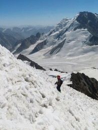
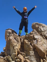
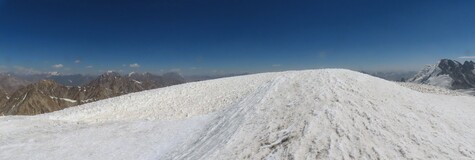
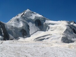
В 10:30 поднимаемся на вершину Сафедоб. Следов людей не находим. Вершина представляет собой небольшой снежный купол, высота по gps 5610 м. С западной стороны -- скально-осыпной хребтик, где мы сложили тур. С восточной стороны -- снежное плато, отделенное небольшой трещиной. Плато полого понижается на восток, кажется, что там можно спуститься, выйдя на высокий перевал под вершиной и спустившись в нашу долину по осыпи. Такой вариант спуска мы обсуждали, но очевидного пути не увидели и туда не пошли. At 10:30 we reach summit of Safedob peak. No traces of people have been found. The summit is a small snow dome, with GPS altitude 5610 m. On the western side there is a small rocky ridge where we made a cairn. On the eastern side there is a snow plateau separated by ice crack. Plateau gently descends to the east, it seems that it's possible to go this direction to a high saddle under the peak and then down to our valley on a scree slope. We discussed this way, but finally discided to return back using familiar way.
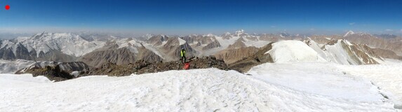
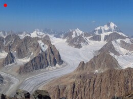
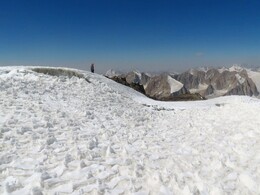
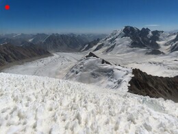


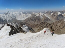
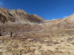
Возвращаемся к стоянке по пути подъема, обедаем (12:46-14:10) и выходим вниз. Идем сперва по леднику, потом по моренам. Смещаемся по возможности к правому борту долины. Выходим к началу небольшого ручья, притока реки Сафедобдара. Тут начинаются удобные для ходьбы поляны. Выходим к краю большой полки над рекой. Видно, что чуть выше есть еще одно русло, по которому можно легко спуститься. Еще дальше видны зеленые полки над рекой. Траверсируем склон в ту сторону, не спускаясь вниз. Находим воду (небольшие родники-ручейки) и встаем на ночевку (17:10, высота 4394 м). За день прошли 10.6км с набором высоты 792м. Красивый вид на ледник Сaфедоб и реку внизу. Много куропаток (до этой долины мы их не встречали). We return to our camp along the ascent route, have lunch (12:46-14:10) and go down the valley, on the glacier, then on moraines. We are trying to move towards the right side of the valley. Finally we are coming to the beginning of a small stream, tributary of Safedobdara river. Here comfortable grass slopes start. Then we are reaching a pronounced edge of a big shelf above the river. It can be seen that there is another stream a bit further , it should be possible to descent along it. Behind it grass shelves continue. We are traversing slopes in this direction without descending. We find water (small springs and streams) and stop for the night (17:10, altitude 4394 m). During the day we have walked 10.6 km with 792 m of ascent. There is a nice view of Safedob glacier and the river below. Lots of partridges (before this valley we did not see them).
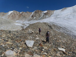
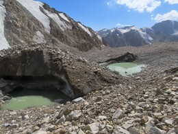
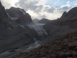
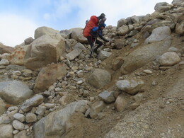
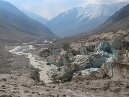
Вышли в 7:00. Долина реки Сафедобдара тут выглядит необычно: большой каменистый овраг, прорезанный ледником, а над ним, на высоте метров 200 над рекой -- выполаживание, удобные для движения полки с родниками и зелеными полянами. На это выполаживание мы вчера вышли траверсом из боковой долины. От стоянки идем по удобным полкам, по краю выполаживания. Выше путь нам преграждает каньон ручья, впадающего чуть ниже ледника. Думаем, с какой стороны лучше объходить каньон, сверху или снизу, в конце-концов решаем спускаться. Этот путь оказался довольно трудоемким: сперва спуск по крутым осыпям к ручью, поиск брода и потом дальнейший спуск к реке Сафедоб. Ручей крутопадающий, брод выглядит весьма эффектно, хотя утром вода еще не слишком мощная. Камни у воды покрыты ледяной коркой. Вероятно, путь сверху от каньона проще, оттуда можно попробовать выйти к леднику вообще без потери высоты. Зато за сложности нашего нижнего пути мы были вознаграждены отличным видом на язык ледника и вытекающую из него реку. We leave our camping place at 7:00. The valley of Safedobdara river looks quite unusual here: a large a rocky ravine cut by a glacier, and above it, at an altitude of about 200 meters above the river, less steap and easy shelves with springs and green meadows. Yesterday we came along these shelves from a side valley. From the camping place we continue to follow the shelf along its edge. A bit further our way is blocked by a canyon of a stream which comes to the river just below the glacier end. We are hesitating which way is better to go around the canyon: above or below, finally we decide to go down. This path turned out to be quite tough: descend along steep scree to the stream, search for a ford and then further descent to Safedob River. The stream is steep, the ford looks very challenging, although in the morning water is still not very high. Stones near the water are covered ice crust. The way through the upper side of the canyon is probably simplier, from there one can come to the glacier without any loss of altitude. But difficulties of our way are rewarded with an excellent view of the glacier tongue and the river coming from under it.
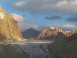
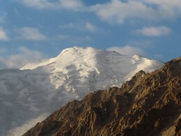
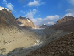
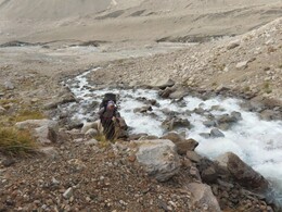
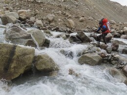
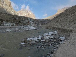
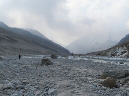
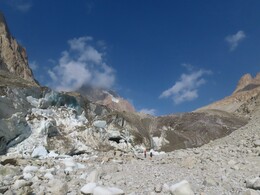
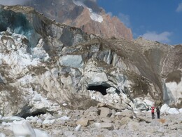
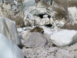
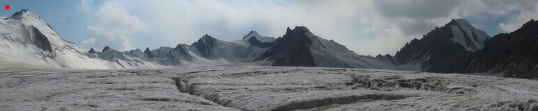
Несмотря на то, что язык ледника сильно разрушен, с левого берега реки есть удобный ледовый лоб, по которому можно выйти на ледник даже не надевая кошек. Ледник ровный, удобный для движения. Погода неустойчивая, с запада идут облака, проходят два небольших снежных заряда. Обходим правобережную гору, за которой открывается вид на верховья ледника, цирки перевалов Шадзуд Центральный, Шадзуд Верхний и Победа. Despite the fact that the glacier tongue is severely destroyed, there is a convenient ascent to it from the left bank of the river. We are not even using crampons. The glacier is flat and convenient for walking. The weather is unstable, clouds are coming from the west, two snow showers are passing. We go around the right-bank mountain, behind which a view of the upper reaches of the glacier opens. We can see cirques of passes Central Shadzud, Upper Shadzud, and Pobeda.
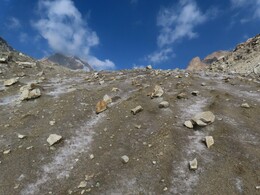
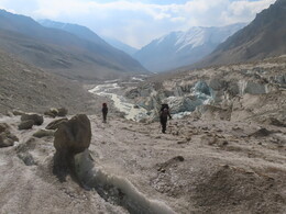
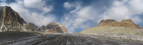
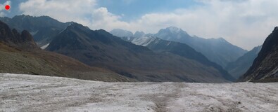
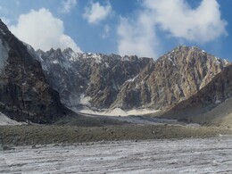
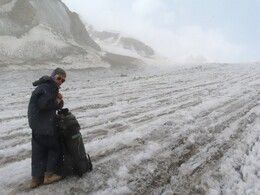
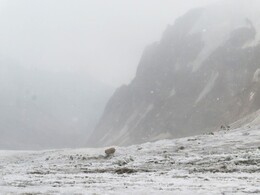
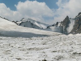
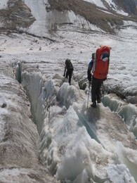
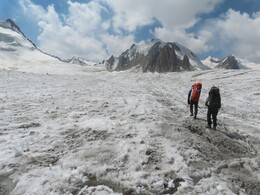
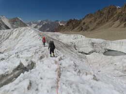
Обедаем на леднике (11:59-13:07, высота 4828 м). В районе места обеда начинается большая зона трещин. Ищем проходы, чуть выше связываемся и надеваем кошки. Заходим в цирк под перевалом Победа, тут трещин меньше, местами они прикрыты старым снегом. Я одной ногой проваливаюсь в какую-то загадочную яму с водой неизвестной глубины. We will have lunch on the glacier (11:59-13:07, altitude 4828 m). Near the lunch place an area of large crevasses begins. We are looking for a way through it, a bit further we are putting on harnesses and crampons and walk roped. We are heading into the circus under Pobeda pass, there are fewer crevasses here, in some places they are covered with old snow. I'm falling with one hand in a strange deep crack filled with water.
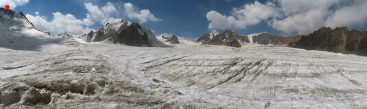
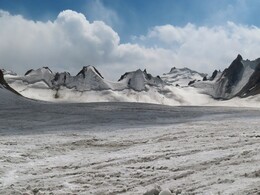
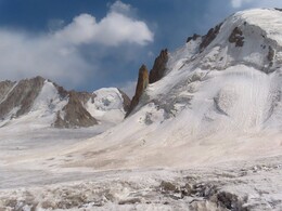
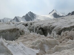
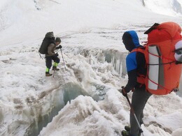
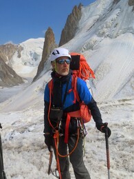
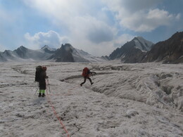
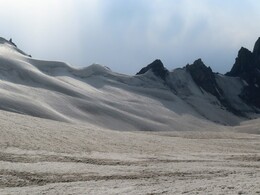
С вечера решаем на перевал не лезть, встаем на ночевку на леднике неподалеку (16:30, высота 5051 м). За день прошли 11.3км с набором высоты 874м. Искать воду не стали (хотя незадолго до этого какие-то ручьи и лужи проходили), топим снег. Самая холодная ночевка похода, вечером -4, утром -12. In the evening we decide not to climb the pass, and stop for the night on the glacier nearby (16:30, altitude 5051 m). During the day we have walked 11.3 km with 874 m of ascent. We did not do any attempts to find water (a bit earlier we were passing some stream and paddles), using snow for cooking. This is the coldest night of the trip, -4 in the evening, -12 in the morning.
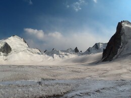
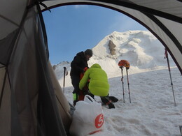
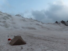
Из-за холодной погоды и необходимости топить снег собирались долго, вышли уже по солнцу, в 7:36. От стоянки идем в кошках и связке. Поднимаемся к перевалу, траверсируя снежный склон влево, обходя большую трещину под седловиной. Due to the cold weather and the need to melt snow, it took quite a long time to wake up and cook breakfast. We leave our camping place when sun is already came, at 7:36. Waking on cramponse and roped. We ascend to the pass, traversing the snowy slope on the left-hand side, bypassing a large crevasee near the saddle.
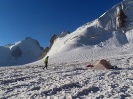
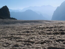
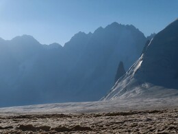
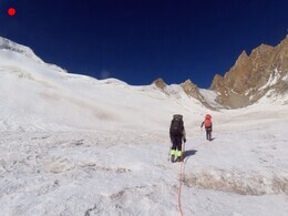
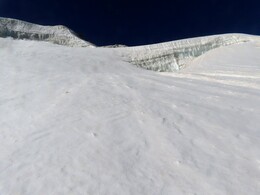
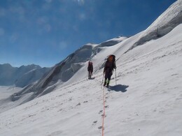
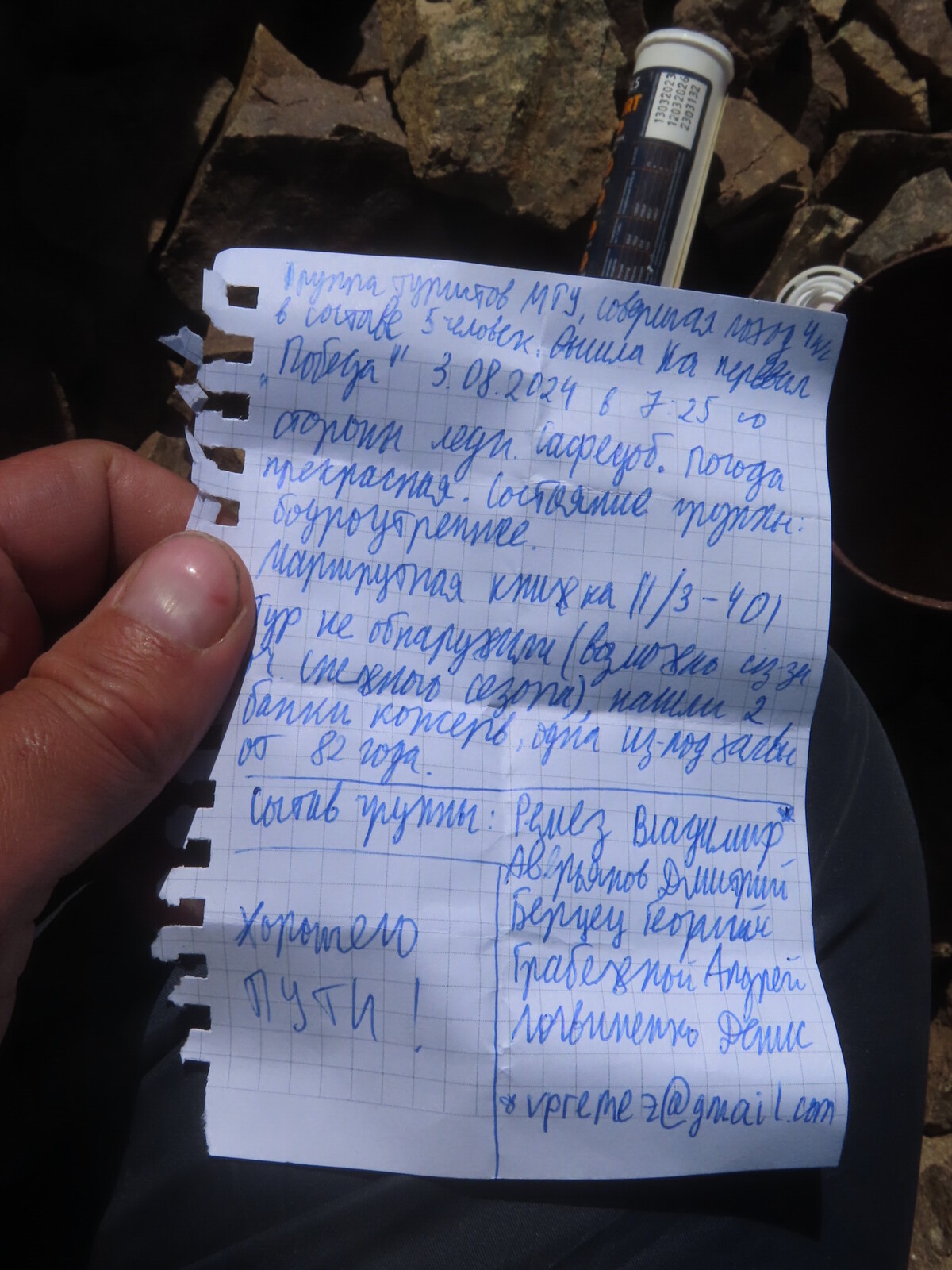
На перевал Победа выходим в 8:50. Высота по gps 5221 м, сложность в наших условиях 1Б. Перевал был впервые пройден в 1976 году группой куйбышевских туристов (рук. Е.Свиязов), название Победа было предложено еще раньше, московской группой под руководством Г.Томанова. После этого перевал проходили еще несколько раз (сборы под руководством Е.Цветкова в 1979, поход московской группы под руководством А.Андрюшенко в 1983). Мы нашли тур с запиской группы МГУ (В.Ремез и другие) от 3 августа 2024. Они пишут, что предыдущих туров и записок не обнаружили. Я сходил на север до соседней седловины, тура там тоже не нашел. С обеих седловин примерно одинаково удобный спуск по осыпи на запад, с восточной стороны на ледник Сафедоб удобнее наш путь, от южной седловины. С перевала отличный вид на пик Патхор. We arrive at Pobeda pass at 8:50. Altitude according to GPS 5221 m, difficulty grade in our conditions 1B. The pass was first climbed in 1976 by a group of tourists from Kuibyshev (leader E. Sviyazov), the name Pobeda have been proposed even earlier, by a Moscow group led by G. Tomanov. Since then the pass has been passed a few more times (tourist training camps led by E. Tsvetkov in 1979, trips of a Moscow group of A. Andryushenko in 1983). We found a cairn with a note from a group from Moscow University (V. Remez and others) dated August 3, 2024. They wrote that they did not find any previous cairns or notes. I walk to north, to the next saddle, but I didn't find any old cairns there either. Descent to the west from both saddles is equally easy, on the west side our way to the south sabble is better. From the pass there is an excellent view of Pathur peak.
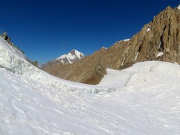
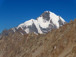
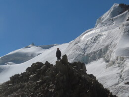
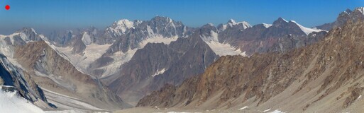

Спуск с перевала несложный, 100м по подвижной осыпи. По леднику начали движение без кошек и связок, потом связались: довольно много небольших трещин, приходится через них прыгать, проходить по перемычкам и снежным мостикам. The descent from the pass is easy, 100 m along a soft moving scree. Walking on the glacier without crampons and rope, a bit later we tied up: there are quite a lot of small cracks, jumps, and snowy bridges.
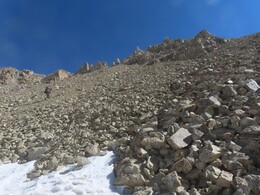
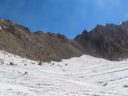
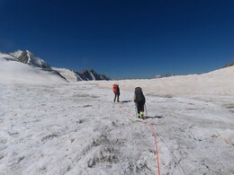
В низовьях ледника трещины почти заканчиваются, но начинаются воронки с озерками. Выискиваем путь между ними. In the lower reaches of the glacier, the cracks almost end, but begin funnels with lakes. We are finding our way between them.
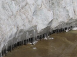
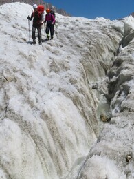
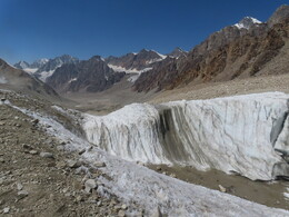
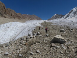
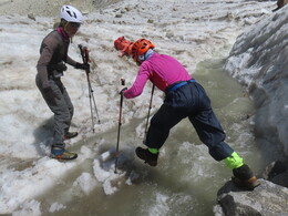
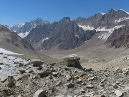
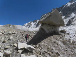
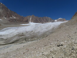
Справа приходит ветка ледника, ведущая к перевалу Сафедоб Верхний. Пересекаем моренный вал, разделяющей долины. Тут небольшое плоское пространство между ледниками, по которому, среди куч камней и песка текут речки, выходящие из-подо льда и сливающиеся в довольно мощный поток. Обедаем на левом берегу (13:18-14:47, высота 4521 м). Поскольку завтра мы собираемся идти в радиалку вверх по правой ветке ледника, у нас получается очередной короткий день. После обеда бродим реку и чуть ниже встаем на стоянку (15:01, высота 4499 м). За день прошли 7.4км с набором высоты 190м. Another branch of the glacier comes from the right. It goes up to Upper Safedob pass. We cross the moraine ridge separating the valleys and come to a small flat the space between the glaciers. Here rivers appear from under ice, flow between heaps of stones and sand, and finally merge into a rather powerful flow. We have a lunch on the left bank (13:18-14:47, altitude 4521 m). We are stopping here because tomorrow we want to do a round trip up the right branch of the glacier. After lunch we cross the river, go a bit down and set our camp (15:01, altitude 4499 m). During the day we have walked 7.4 km with 190 m ascent.
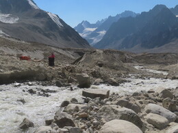
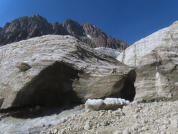
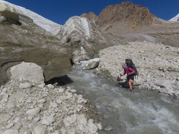
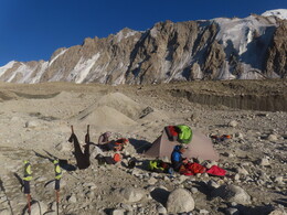
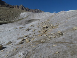
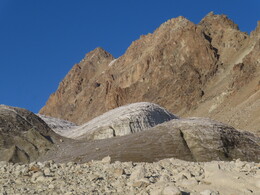
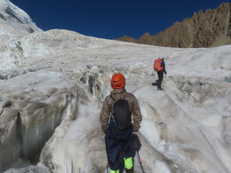
Вышли в радиалку в 6:35. Поднимаемся на ледник, ведущий к перевалу Сафедоб Верхний. Нам нужен его небольшой правый приток, ледник, отделенный моренным валом от основного. Проходим вдоль вала по основному леднику чуть больше километра, затем переходим вал и начинаем подниматься в нужную долину. Примерно с высоты 4950 начинается ледопад. Трещины внушительные, но старые, сглаженные. Без особых сложностей находим проход. Выше ледопада начинается закрытый ледник, идем в связке. We leave our camp for the round trip at 6:35. We ascend the glacier leading to Upper Safedob pass. We are heading to its small right tributary, a glacier, separated by a moraine ridge from the main one. We walk along the moraine along the main glacier a little more than a kilometer, then we cross the morain and go to the desired valley. The icefall begins at approximately 4950 m altitude. Crevasses are huge, but old and smoothed out, it's possible to find a way throug them. Above the icefall the glacier is closed with snow, there we go roped.
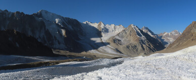
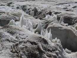
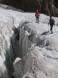
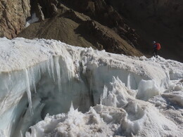
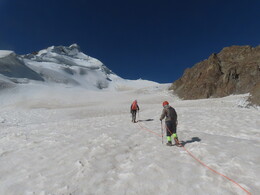
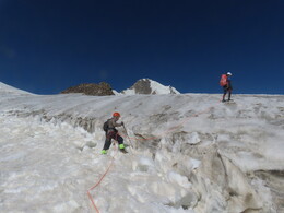
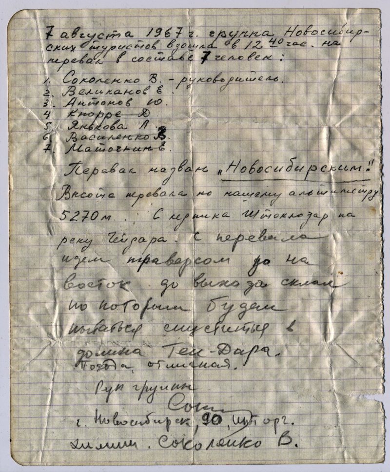
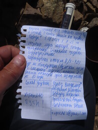
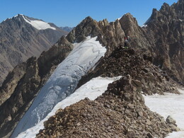
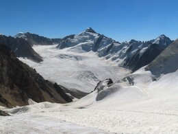
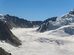
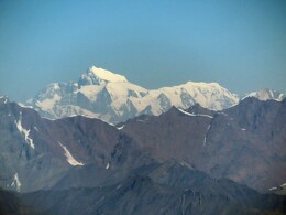
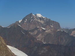
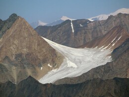
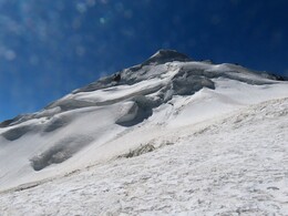
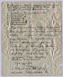
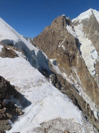
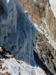
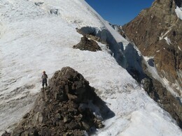
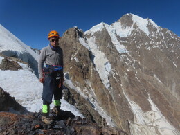
В 9:45 поднимаемся на перевал. Ледник полого выходит на просторный гребень со скально-осыпной горкой в центре. На севере высокий обрыв к леднику Ген, сбоку внушительно возвышается пик Патхор. Высота по gps 5190 м. На скалах находим тур с запиской новосибирской группы от 7 августа 1967 года, в записке перевал назван Новосибирским. At 9:45 we arrive at the pass. The glacier levels and comes to a wide ridge with a bunch of rocks in the center. On the noirth side thee is a high drop to Gen glacier. Pathur peak rises impressively on the left side if it. GPS altitude of the pass is 5190 m. On the rocks we find a cairn with a note from Novosibirsk group dated 7 August 1967, in the note the place is called Novosibirsk pass.
О существовании перевала заранее мы не знали (как потом выяснилось, он был в классификаторе, но без координат) и нахождение записки стало для нас сюрпризом. Нашей исходной целью была вершина в верховьях ледника. В результате на вершину мы решили не идти: сам по себе перевал оказался отличной обзорной точкой. Дальнейший путь наверх от перевала в начальной части выглядел несложным, однако полностью до вершины не просматривался -- казалось, что наверху нас могут ждать сюрпризы. Кроме того, нас поджимало время: хотелось сегодня успеть пройти от стоянки вниз по долине. We did not know about the pass in advance (as it turned out later, it was possible to it in a list ot passes without coordinates). Finding the note is a surprise for us. Our initial goal was a peak in the upper reaches of the glacier, but finally we decided not to go further: the pass itself turned out to be an excellent viewpoint. The further way up from the pass looks easy in the beginning, but full way to the peak is not clear. In addition, our time is limited: we want to return to the camp and move it down the valley today.
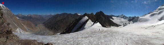
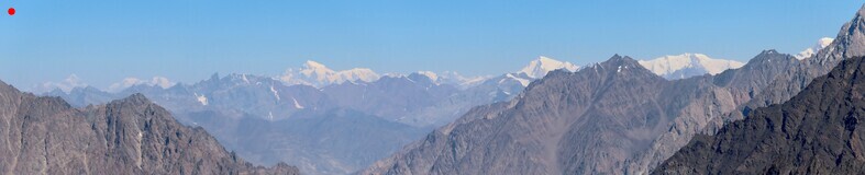
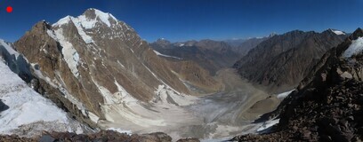
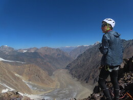
С перевала спускаемся по пути подъема, возвращаемся на стоянку в 12:19, обедаем. From the pass we descend along the ascent path, return to the campt at 12:19, and have lunch.
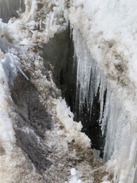
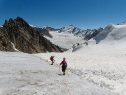
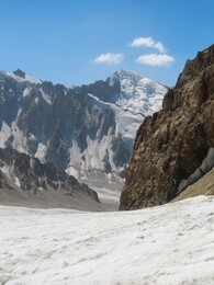
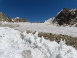
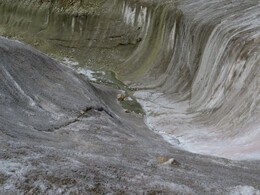
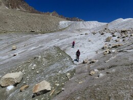
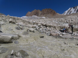
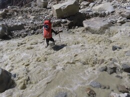
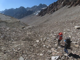
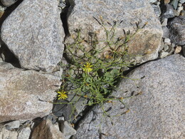
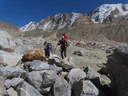
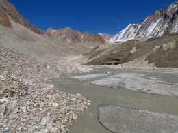
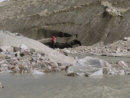
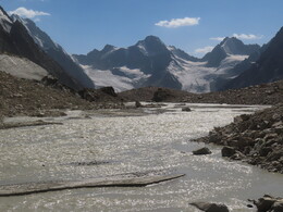
Идем правым берегом, недалеко от реки. Довольно утомительные каменные морены, иногда песчаные отмели. Река после выхода из-под ледника весьма мощная. Доходим до поворота долины на юг, по моренным кучам выходим к озеру под нужным нам ледником. Встаем в 17:54 на песчаной куче у небольшого чистого озерка рядом с большим озером. Высота 4170 м. За день прошли 14.2км с набором высоты 704м. We go along the right bank, not far from the river. There are sometimes quite tough stone moraines, sometimes easy sandbanks. The river emerged from the glacier is very big. We reach the turn of the valley to the south, crossing moraine hills to a big lake under the glacier we need and stop at 17:54 on a sand pile near a small clean lake next to a large lake. Altitude 4170 m. During the day we have walked 14.2 km with 704 m ascent.
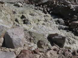
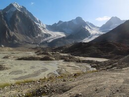
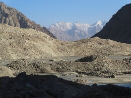
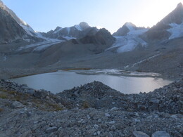
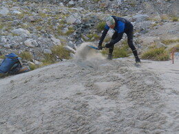
Утром вышли в 6:47. Большое озеро у стоянки обходим слева, бродим речку, из него вытекающую, удобно поднимаемся на ледник. Идем к перевалу Удариф Южный. Несмотря на название, перевал ведет не на ледник Удариф, а в долину реки Зувордара. Название возникло после похода группы Андрющенко в 1983 году: они хотели пройти перевал Удариф, но из-за ошибки ушли в более южную долину. В их отчете перевал тем не менее назван Удариф. In the morning we leave our camping place at 6:47. We go clockwise around the large lake and cross a river coming from it. Then we easily ascend to the glacier. We are heading to South Udarif pass. Despite the name, the pass does not lead to Udarif glacier, but to Zuvordara valley. The name appeared after a hike of Andryushchenko in 1983: they wanted to go through Udarif pass, but by mistake they came to another pass and found themselves in a wrong valley. In their report, however, the pass is named Udarif.
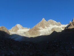
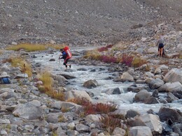
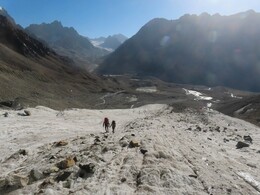
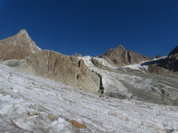
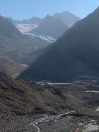
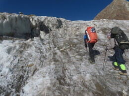
По центру ледника идем до первого ледопада. Ищем проход в трещинах, в результате уходим к левому (орографически) краю ледника, почти к самой осыпи. Тут лед ровнее, обходим ледопад и выше него опять выходим на центр. We walk along the center of the glacier until the first icefall ant try to find a way through it. Finally we go to the left (orographically) edge of the glacier, almost to side screes. Here the ice is smoother, and we manage to go around the icefall. Above it we again returning to the center.
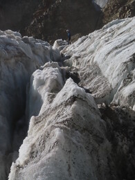
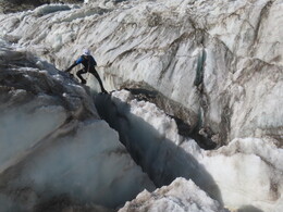
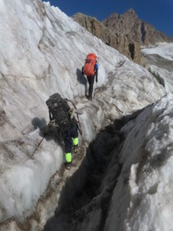
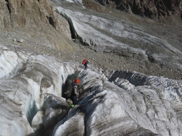
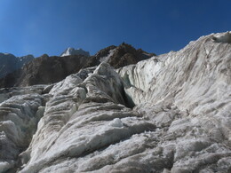
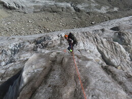
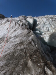
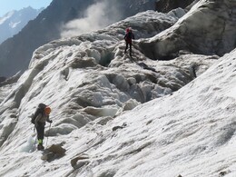
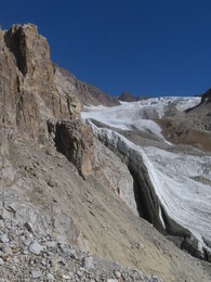
По центру ледника обходим следующий ледопад, расположенный у левого борта. Выше поднимаемся на левую ветвь ледника, ведущую к перевалу Удариф Южный, и подходим под третий, самый большой ледопад. Ледопад пересекаем под основными сбросами, выходим к левому борту долины и там поднимаемся на выполаживание выше ледопада. In the center of the glacier we are passing the next icefall, located at the left side. Then we are heading to the left branch of the glacier leading to South Udarif pass. Here we come to the third, largest icefall. We are crossing it under the main drops, go to the left side of the valley and climb to an ice plateau above the icefall.
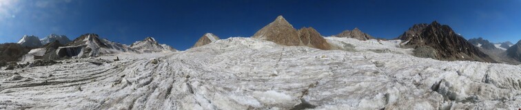
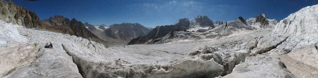
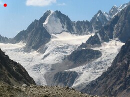
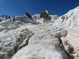
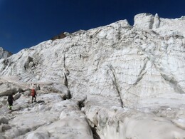
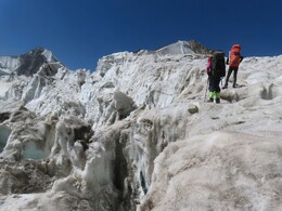
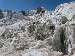
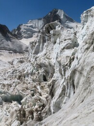
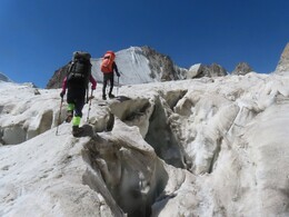
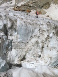
В цирке под перевалом довольно много трещин, связываемся. Подходим под перевал Удариф Южный. Подъем на перевал представляет собой крутой ледовый склон с небольшим карнизом сверху. Внезу бергшрунд. Посидели под перевалом, подумали, посмотрели на свои мягкие кошки, на камни, летящие с окружающих скал, и решили идти назад. По нашей оценке сложность перевала -- 2А-2Б. There are quite a few crevasses in the circus under the pass, we are waking roped. We are approaching Udarif South pass. The final ascent to the pass is a steep ice slope with a small cornice on top and a crevasse below. We are sitting under the pass and thinking for some time, looking at our soft crampons, at stones flying from surrounding rocks. Finally we decide to go back. According to our assessment, the difficulty grade of the pass - 2A-2B.
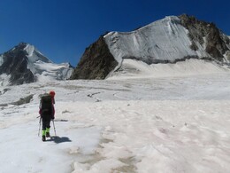
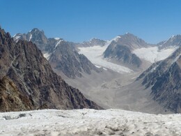
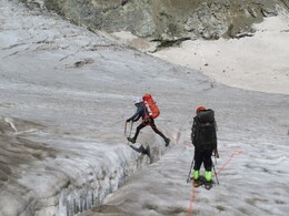
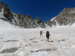
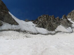
Возвращались примерно по пути подъема, обедали под главным ледопадом (13:09-14:21). Нижний ледопад обошли по левому краю, гораздо более гладко, чем на пути вверх. We return approximately along the ascent route, have lunch under the main icefall (13:09-14:21). We passed the lowest icefall along the left side, much easier than on the way up.
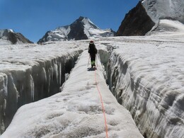
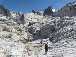
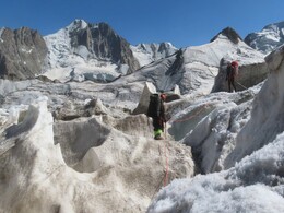
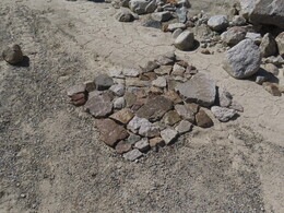
Спустившись с ледника, бродим речки, из него вытекающие, и идем вниз по долине, по правому берегу реки. Ниже долина сужается, зажатая высокими скалистыми горами. Тут на реке небольшое ущелье, которое можно обойти верхом по правому берегу. На выходе из ущелья находим неплохое место стоянки среди крупной каменной россыпи под скалами правого берега: ровная полянка у большого камня, родник. Видно, что кто-то тут уже стоял -- из камней сложен столик. Останавливаемся на ночевку в 17:23, высота 4020 м. За день прошли 11.4км с набором высоты 833м. After descending from the glacier, we cross a few streams coming from it and go down along the valley, along the right bank of the river. Below the valley narrows, surrounded with high rocky mountains. There is a gorge on the river that you can be passes along the high right bank. At the exit from the gorge we find a good place for a camp between huge boulders, under high rocks of the right-side moointain: a flat place, a spring. Someone was already camping here: we found a small table made of stones. We stop for the night at 17:23, altitude 4020 m. During the day we have walked 11.4 km with 833 m of ascent.
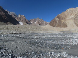
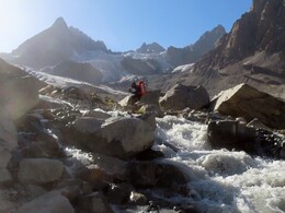
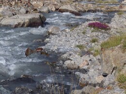
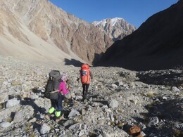
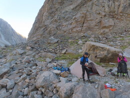
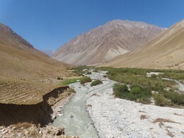
Выходим в 6:37. Спускаемся по правому берегу реки Патхор. Долина постепенно расширяется, проходим большие разливы реки у впадения крупного левого притока. Чуть ниже - сужение, где впервые появляется достаточно четкая тропа. Ниже еще один большой разлив, за которым пересекаем морены в устье правого притока, ведущего к перевалу Туристов МИФИ. В конце этого участка тропа собирается над высоким речным обрывом и потом плавно спускается в заросшую кустами пойму. We are leaving our camping place at 6:37 ands go down the right bank of Pathur river. The valley is gradually expanding, We are passing a large flats at the confluence of a big left tributary. A little lower there is a narrowing of the valley, where a fairly clear trail appears. Below there is another large flats, behind which we cross moraines at the mouth of the right tributary leading to MEPhI Tourists pass. At the end of this section, the trail gathers on top of a high river cliff and then smoothly descends into flats overgrown with bushes.
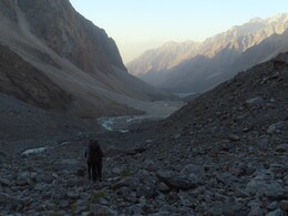
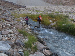
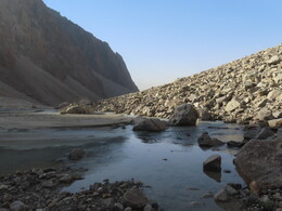
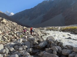
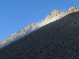
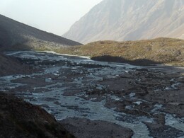
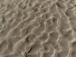
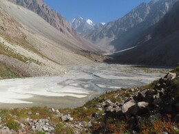
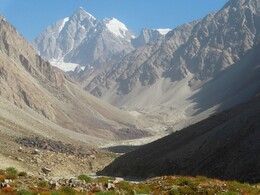
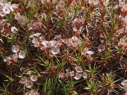
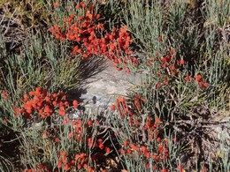
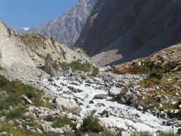
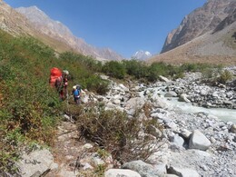
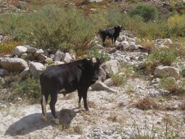
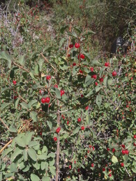
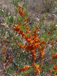
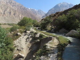
Ниже правого притока встречаем стадо коров. Тропа тут мощная, истоптанная коровами, но не слишком удобная, заросшая кустами, теряющаяся в речных протоках. Еще ниже тропа идет по осыпным склонам над рекой, пару раз с нее слетаем и лазаем по крупной каменной осыпи. Обедаем напротив впадения реки Чапдара (12:08-13:32, высота 3166 м), купаемся в мелкой песчаной протоке. Below the right tributary we meet a herd of cows. The trail here is strong, trampled by cows, but not very straight, overgrown with bushes, losing in river channels. Lower, the trail goes to scree slopes above the river. We a loosing it a couple of times, and walking of screes with large boulders. We stop for a lunch next to confluence of Chapdara river (12:08-13:32, altitude 3166 m). There is a good bath a shallow sandy channel.
-----
Выходим к поселку Патхор. Тропа уходит от реки вправо вдоль арыка. По ней доходим до поперечной дороги и поворачиваем на восток. Переходим реку Патхор по пешеходному мосту, проходим через центр поселка и в 15:45 выходим к мосту через Гунт. За день прошли 17.5км с набором высоты 152м. Почти сразу встречам нашу машину. Поход закончен! We are heading to Pathur village. The trail goes away from the river to the right along an irrigation channel. Along the channel we come to a perpendicular road and turn east. We a crossing Patkhur river through a pedestrian bridge, passing center of the village and at 15:45 arriving at a bridge over Gunt river. During the day we have walked 17.5 km with 152 m of ascent. Almost immediately we meet our car. The hike is finished!
Звездочками (*) отмечены названия, предложенные в этом отчете. Координаты и высоты даны по gps-данным. Сложность дана по нашей оценке. Asterisks (*) indicate names suggested in this report. Coordinates and altitudes are given according to out GPS data. Difficulty grades are given according to our assessment.
| дата date | название, сложность name, difficulty | gps | комментарии comments |
|---|---|---|---|
| 15.08 | пер.Кыянат, н/кKyyanat pass, n/k | 37.7999680 73.1143320 4234 | прошли с востока на запад, автомобильная дорогаpassed from east to west, a car road |
| 16.08 | в.Малжуран*, 1А-1Б (траверс)Malzhuran* peak, 1A-1B (traverse) | 37.8412680 73.0437270 5300 | траверс с востока на запад, на вершине найден большой турtraversed from east to west, a large cairn found at the top |
| 17.08 | пер.Саритош*, 1АSaritosh* pass, 1A | 37.8790310 72.9945440 4885 | прошли с востока на запад, следов людей не нашлиpassed from east to west, found no traces of people |
| 17.08 | пер.Дузахдара, н/кDuzakhdara pass, n/k | 37.9197690 72.8619020 4260 | прошли с востока на запад, старая автомобильная дорога, выраженной седловины нетpassed from east to west, old road, no pronounced saddle |
| 18.08 | пер.Мал.Марджанай*, 1БLittle Marjanay* pass, 1B | 37.9924880 72.7739410 5124 | прошли с юга на север, следов людей не нашлиpassed from south to north, found no traces of people |
| 19.08 | пер.Белых Озер*, 1БWhite Lakes* pass, 1B | 37.9949330 72.7042500 5270 | прошли с востока на запад, следов людей не нашлиpassed from east to west, found no traces of people |
| 20.08 | пер.Гипротранс, 1AGiprotrans pass, 1A | 37.9474105 72.5941016 4692 | прошли с востока на запад, нашли записки: В.Ляпин (Москва, 15.08.1986), наша группа (10.08.2008), О.Олийнык и К.Дорошенко (Киев, 05.08.2018)passed from east to west, found notes: V. Lyapin (Moscow, 08/15/1986), our group (10.08.2008), O.Oliynyk and K.Doroshenko (Kyiv, 08/05/2018) |
| 22.08 | пер.Сафедоб*, 1БSafedob* pass, 1B | 37.8759300 72.4442600 5152 | прошли с востока на запад, следов людей не нашлиpassed from east to west, found no traces of people |
| 23.08 | в.Сафедоб, 1Б (с юга)Safedob peak, 1B (from the south) | 37.8839300 72.4313050 5610 | поднялись с юга, следов людей не нашлиascended from south, found no traces of people |
| 25.08 | пер.Победа, 1Б-2АPobeda pass, 1B-2A | 37.8681020 72.2797860 5221 | прошли с востока на запад, нашли записку группы А.Ремеза (Москва, МГУ, 03.08.2024)passed from east to west, found a note: A.Remez (Moscow University, 08/03/2024) |
| 26.08 | пер.Новосибирский, 1Б (с юга)Novosibirsk pass, 1B (south side) | 37.8811530 72.2186560 5190 | поднялись радиально с юга, нашли записку группы В.Соколенко (Новосибирск, 07.08.1967)ascended from south, found a note: V.Sokolenko (Novosibirsk, 08/07/1967) |
Перевал Удариф Южный не был пройден, мы поднялись по леднику, прошли ледопады и подошли вплотную к перевалу с определяющей (восточной) стороны. We have not passed South Udarif pass, olny climbed the glacier through all icefalls and approached the last ascent of the most difficult (eastern) side.
| деньday | расстояние и набор высотыdistance and ascent | выходstart | обедlunch | финишfinish | температурыtemperatures | максимальная высотаmax.altitude |
|---|---|---|---|---|---|---|
| 14.08 | 12.5km/65m | 11:50 3888m | 12:43-14:22 3869m | 17:56 3807m | -- / 18.7 /16.6 | |
| 15.08 | 16.4km/768m | 07:10 3807m | 11:15-12:45 4138m | 16:31 4421m | 8.8 / 16.7 / 1.8 | |
| 16.08 | 10.4km/947m | 07:01 4421m | 14:39 4421m | -5.9 / 12.3 / 7.9 | 5300m - в.МалжуранMaljuran peak | |
| 17.08 | 20.3km/802m | 07:07 4421m | 11:35-13:09 4260m | 18:08 4265m | 3.0 / 14.7 / 5.5 | 4885m - пер.СаритошSaritosh pass |
| 18.08 | 16.3km/906m | 06:32 4265m | 10:20-11:41 4618m | 17:49 4676m | 1.6 / -- /-0.5 | 5124m - пер.М.МарджанайLittle Marjanai pass |
| 19.08 | 11.8km/657m | 06:55 4676m | 12:38-14:01 5270m | 17:10 4530m | -4.6 / 5.3 / 3.5 | 5270m - пер.Белых ОзерWhite Lakes pass |
| 20.08 | 12.9km/172m | 06:57 4530m | 13:29 4312m | -4.2 / -- / 9.9 | 4692m - пер.ГипротрансGiprotrans pass | |
| 21.08 | 10.8km/331m | 06:52 4312m | 11:57-13:42 4548m | 15:36 4571m | 2.5 / 10.2 / 2.4 | |
| 22.08 | 8.6km/636m | 06:41 4571m | 12:06-13:36 5152m | 16:02 4851m | -3.1 / -- / 2.4 | 5152m - пер.СафедобSafedob pass |
| 23.08 | 10.6km/792m | 06:46 4851m | 12:46-14:11 4851m | 17:10 4394m | -3.3 / 7.5 / 7.4 | 5610m - в.СафедобSafedob peak |
| 24.08 | 11.3km/874m | 06:59 4394m | 11:59-13:07 4828m | 16:30 5051m | 0.9 / -- /-4.7 | |
| 25.08 | 7.4km/190m | 07:36 5051m | 13:18-14:47 4521m | 15:01 4499m | -12.1 / 7.7 / 5.2 | 5221m - пер.ПобедаPobeda pass |
| 26.08 | 14.2km/704m | 06:34 4499m | 12:19-13:48 4499m | 17:54 4170m | 1.2 / 10.1 /10.4 | 5190m - пер.НовосибирскийNovosibirsk pass |
| 27.08 | 11.4km/833m | 06:47 4170m | 13:09-14:21 4694m | 17:23 4020m | 1.3 / -- /13.5 | 4921m - под пер.Удариф Южныйunder South Udarif pass |
| 28.08 | 17.5km/152m | 06:37 4020m | 12:08-13:32 3166m | 15:46 3023m | 6.7 / 25 / -- |
Температуры записывались логгером Elitech RC-5. На стоянках и обедах я клал логгер в тень, на маршруте нес в кармане куртки (записывать температуру на ходу в любом случае не получается). В таблице даны три температуры: минимальная температура утром, минимальная температура в обед, температура вечером, в 21 час. Temperatures were recorded using an Elitech RC-5 logger. During stops and lunches the logger was put in shadows. On the route it was anyway impossible to record reliable temperature, I carried the logger in a pocket of my jacket. The table shows three temperatures: minimum in the morning, minimum during lunch, at 21 o'clock.