ru
en
Баргузинский хребет, июль 2015 Barguzin mointains, July 2015
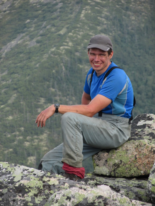
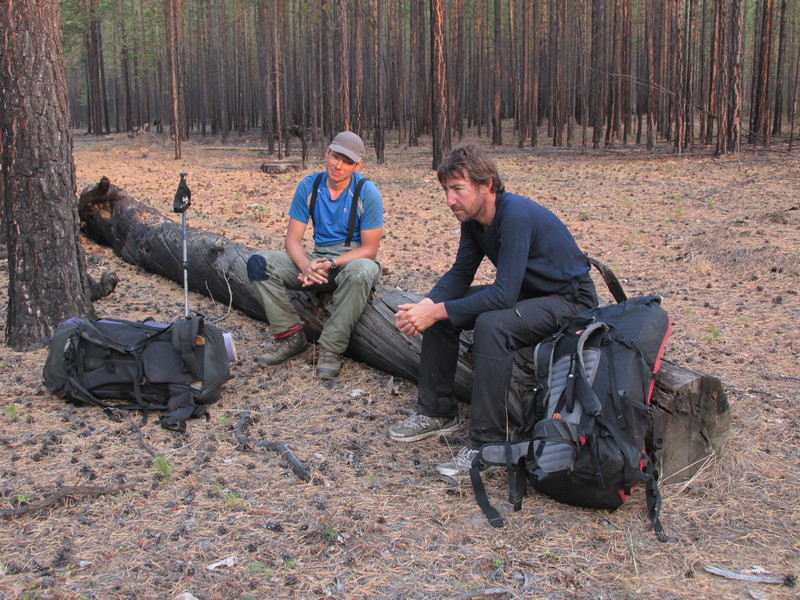
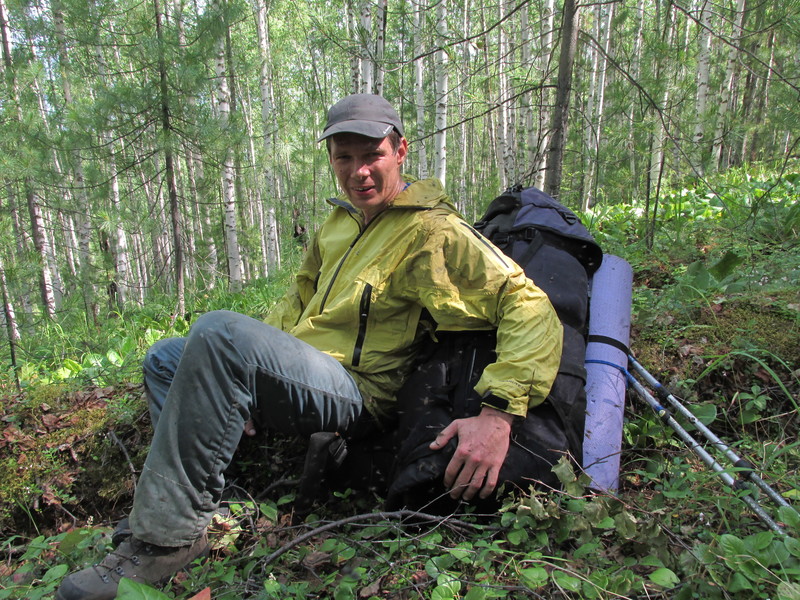
Участники: Костя Бекетов, Юра Галачьянц, Слава Завьялов.
Kostya Beketov, Yuri Galachjants, Slava Zavjalov.
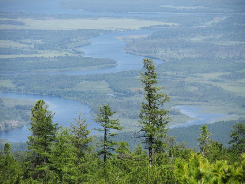
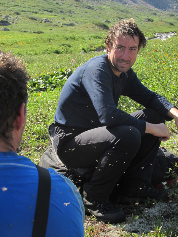
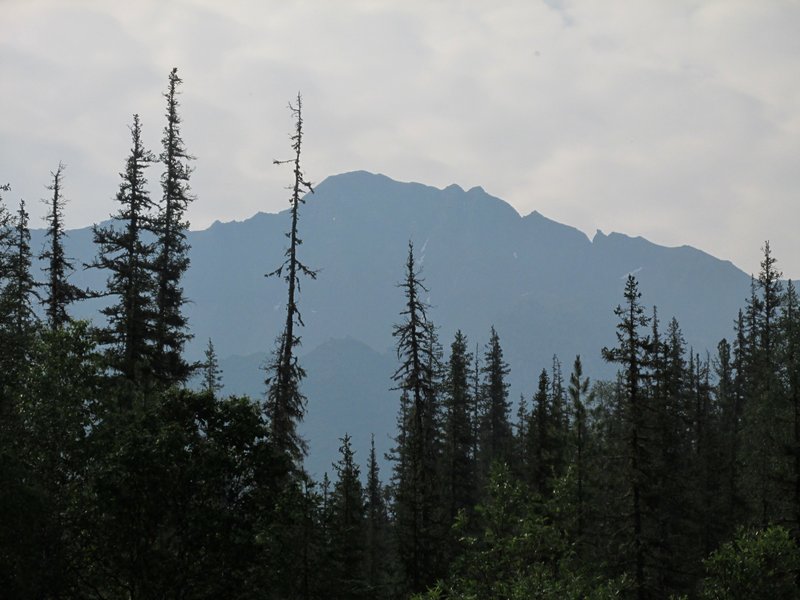
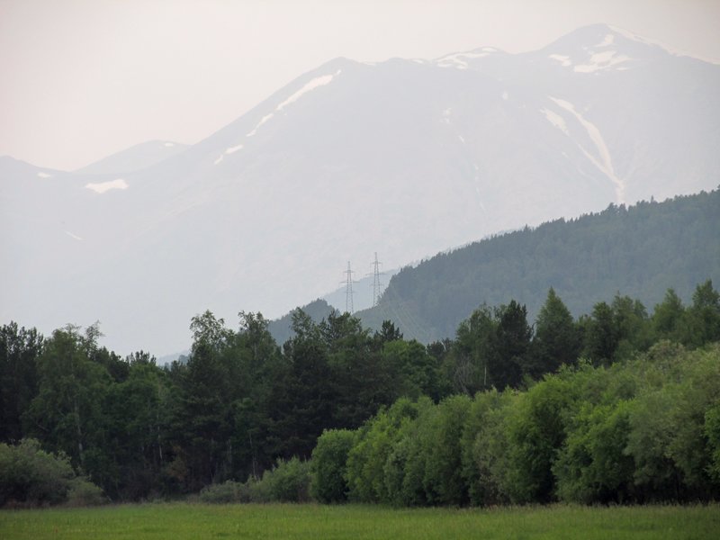
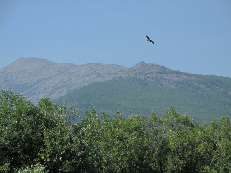
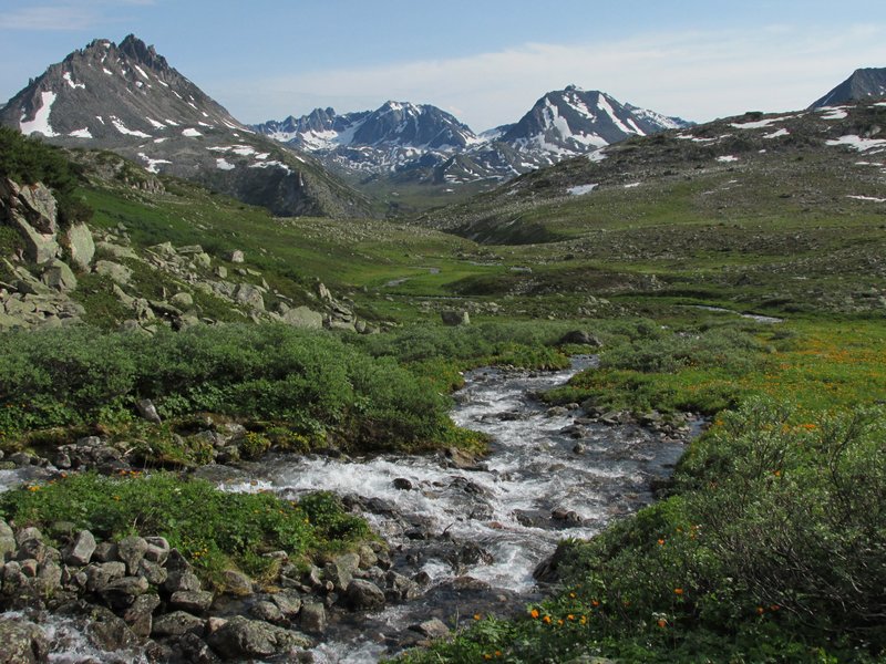
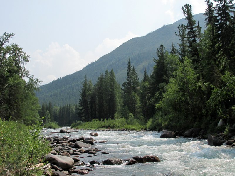
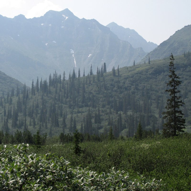
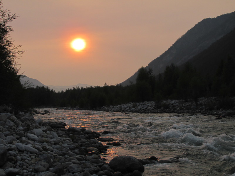
Начало маршрута -- станция Кирон на БАМе, Широкая долина
Верхней Ангары между Баргузинским и Верхнеангарским хребтами. Погода
жаркая, комариная, в воздухе дымка от пожаров.
Beginning of our route
-- Kiron station on BAM (Baikal-Amur Mainline) railroad. Wide valley of
Upper Angara river between Barguzin and Upper-Angara mountain ranges.
Hot weather, lots of mosquitoes, smog because of forrest fires.
 |
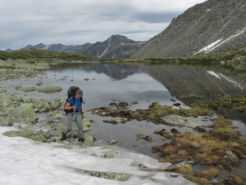
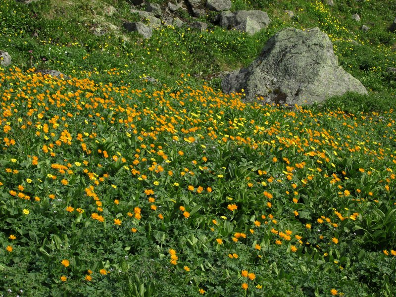
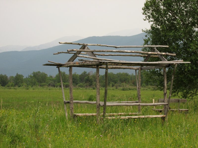
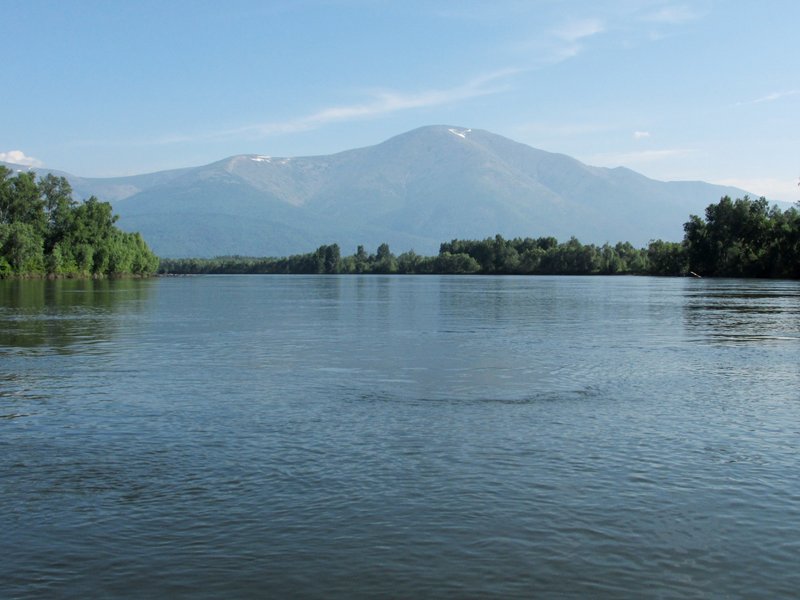
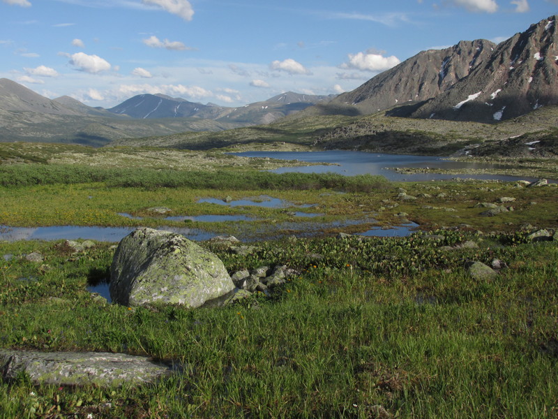
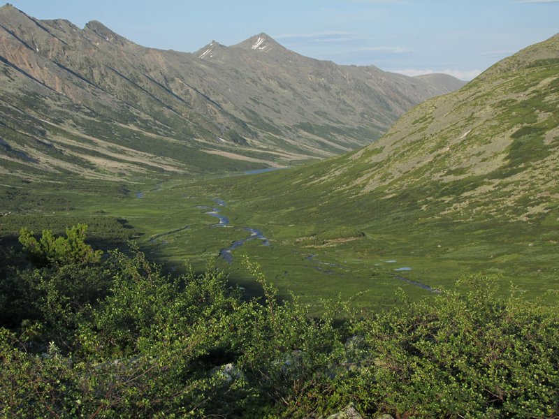
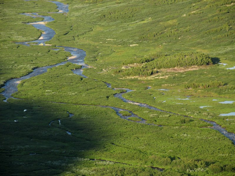
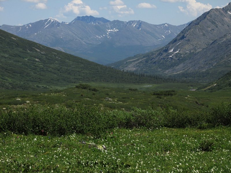
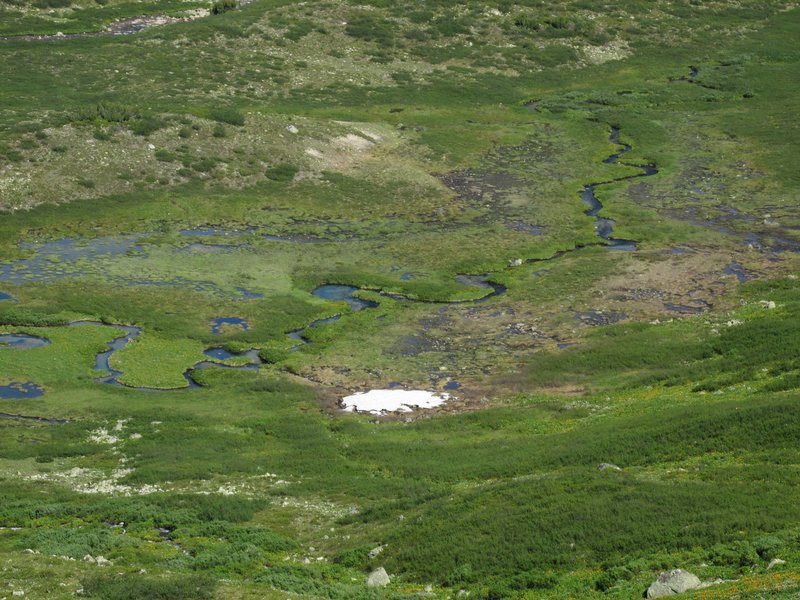
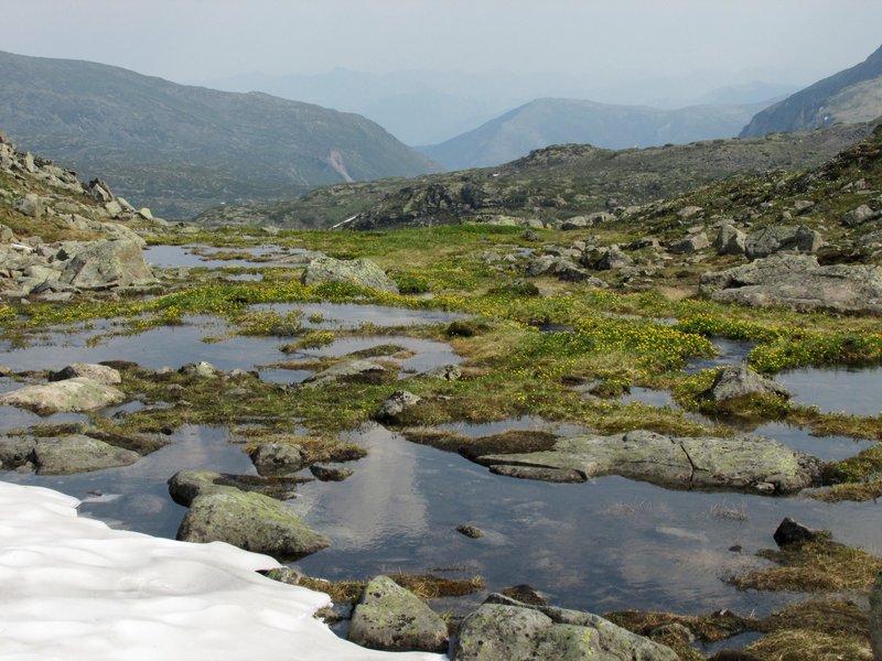
В долине -- луга и болота, озера и старицы. Есть дороги и
какие-то сооружения, то ли рыбацкие, то ли пастушеские.
There are meadows, swamps, lakes in the valley. There are roads
and such constructions made by shepherds or fishermen.
 |
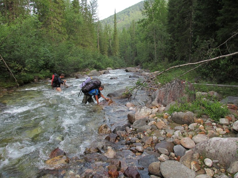
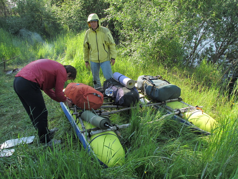
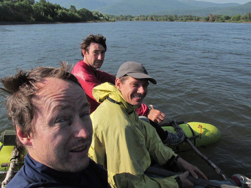
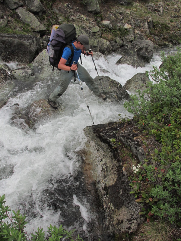
Для переправы через Верхнюю Ангару мы используем легкий
самодельный катамаран.
We use a lightweight self-made catamaran to
cross Upper-Angara.
 |
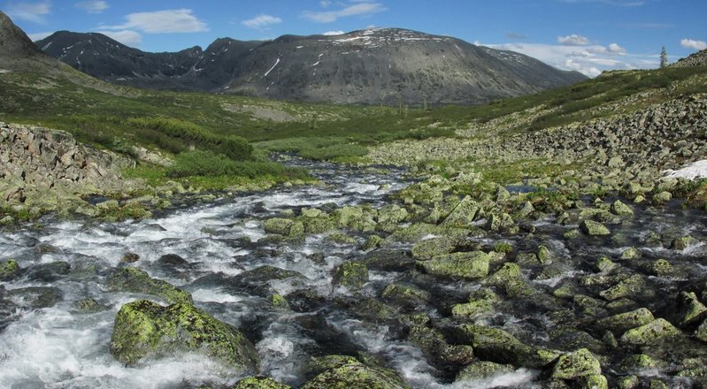
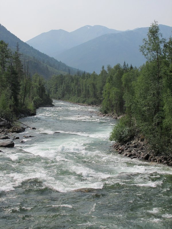
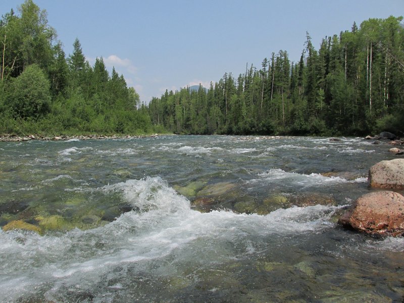
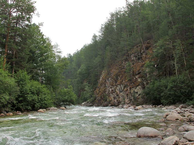
Плывем примерно 3 километра вниз по Верхней Ангаре -
очень приятный участок похода.
We floated three kilometers down the
river, it was a very nice part of the trip.
 |
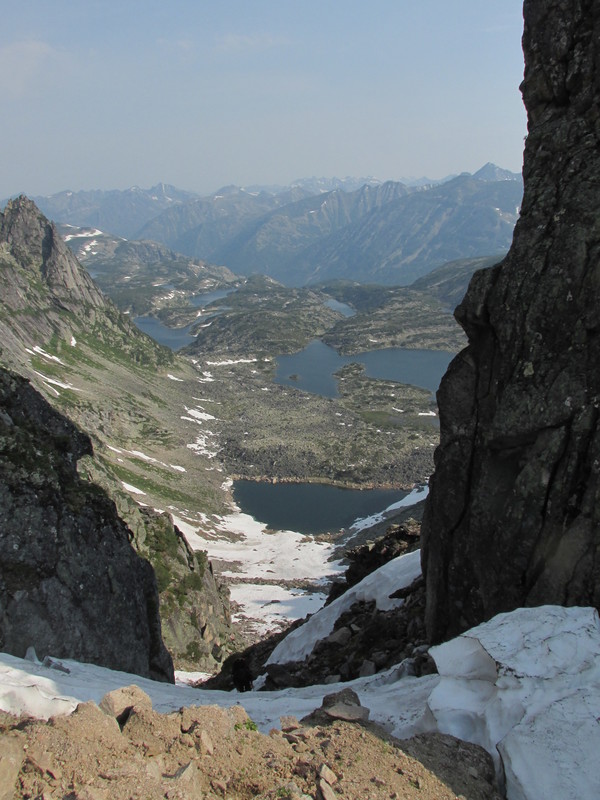
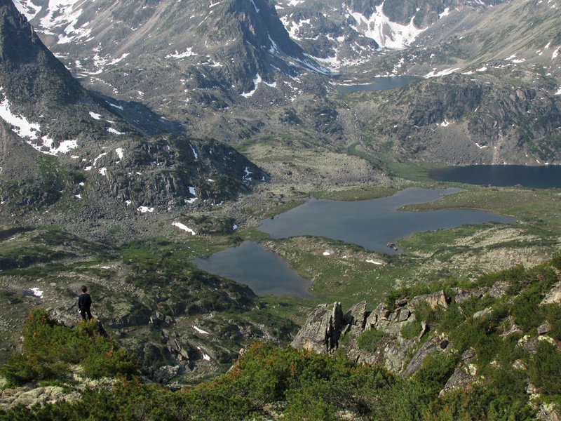
вид на хребет, по которому мы собираемся подниматься
We are going to walk up this ridge.
 |
гора Кирон в Верхнеангарском хребте
mountain Kiron
 |
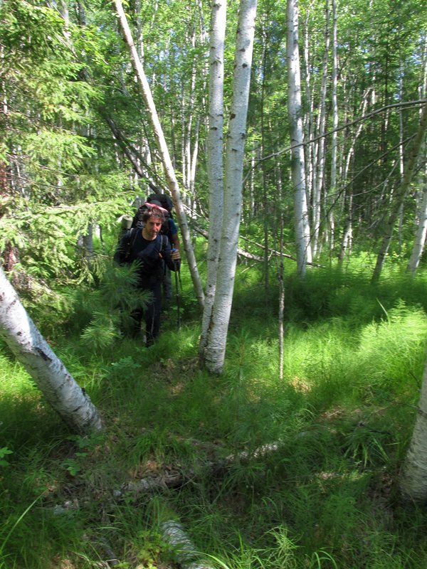
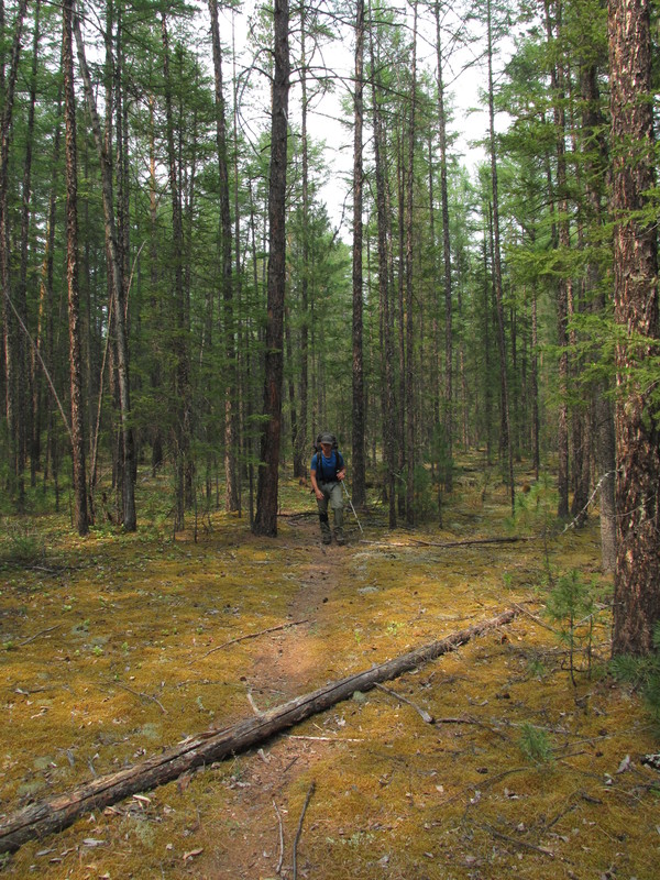
От реки вылезаем на хребет.
Walking from the river to
mountains
 |
В куртке очень жарко, но снимать ее не хочется из-за
комаров и других насекомых.
It is very hot, but we donQQt want to
take off our coats because of pests.
 |
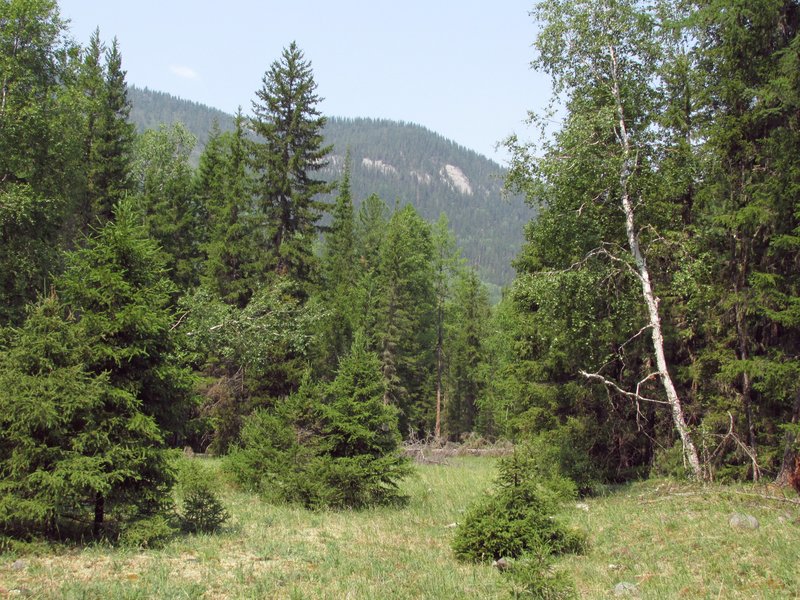
Наконец-то вылезли из леса. Открылся красивый
вид на долину Верхней Ангары.
Finally we went out of the forest.
There is a nice view to Upper Angara valley.
 |
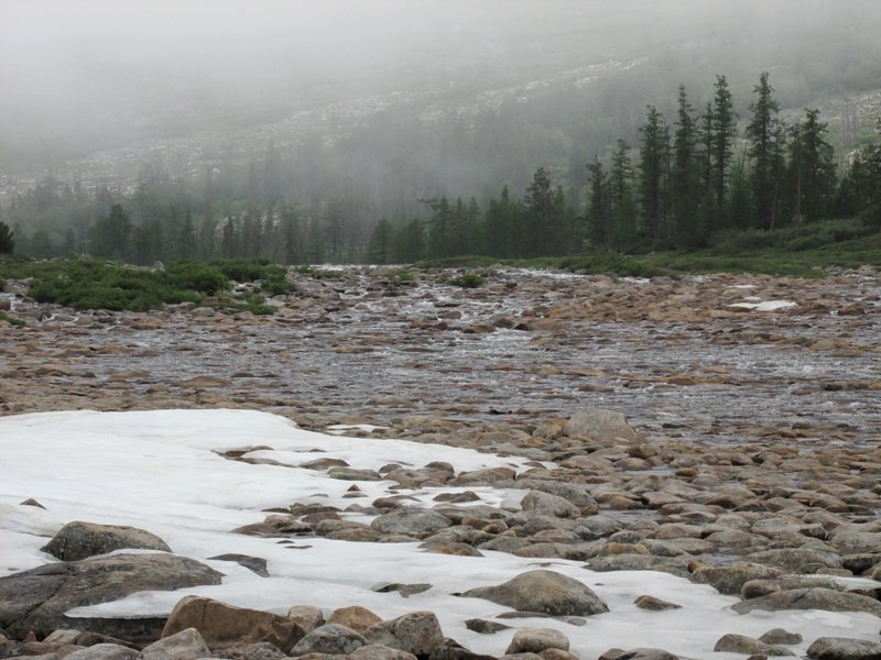
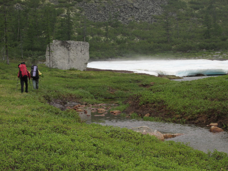
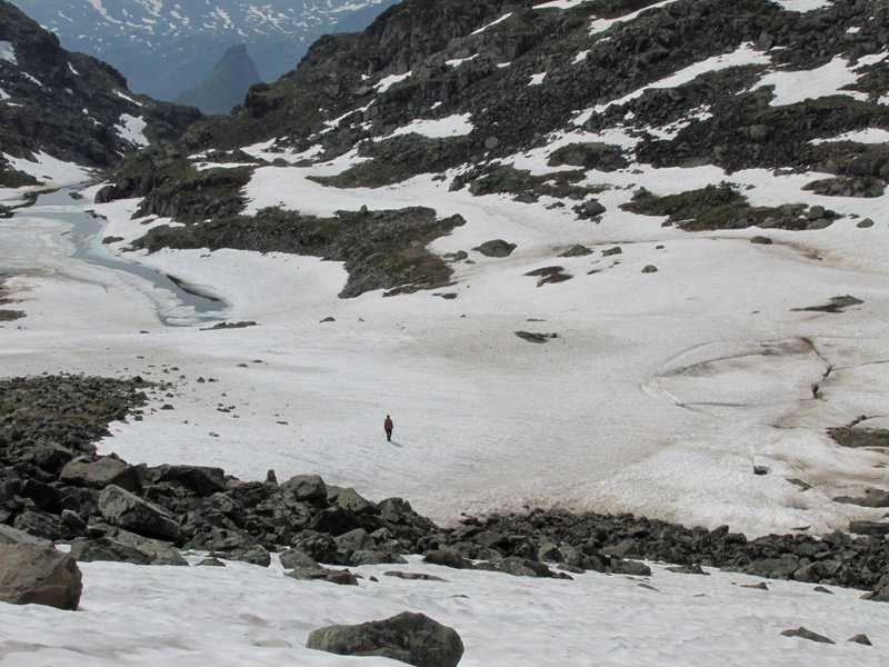
снежник у места стоянки -- место, где мы берем воду
a snow patch near our camping place -- a source of water
 |
стоянка
the camping place
 |
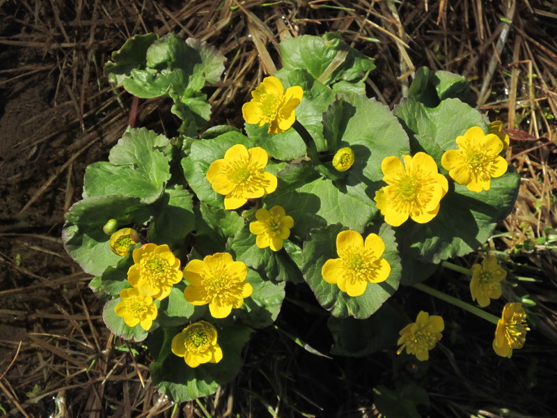
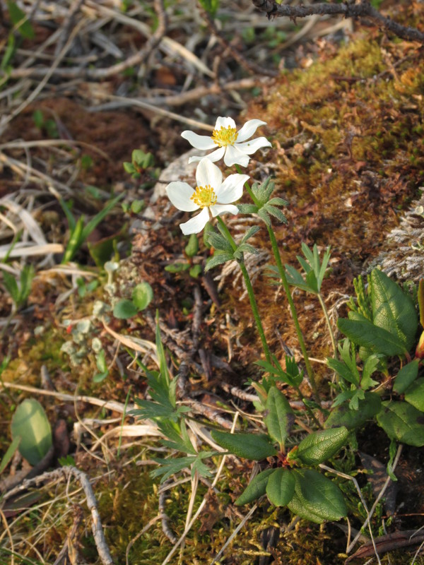
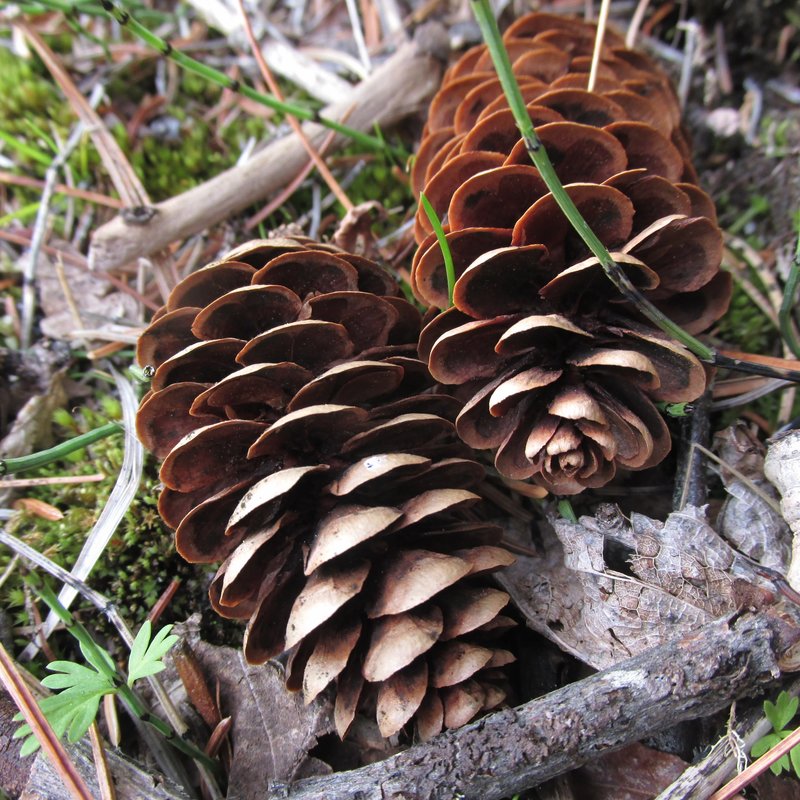
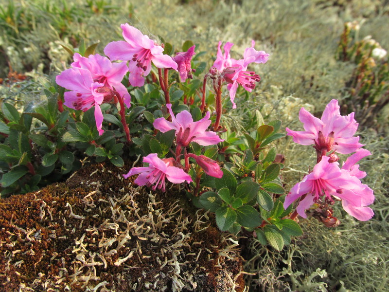
камчатский рододендрон
Rhododendron camtschaticum
 |
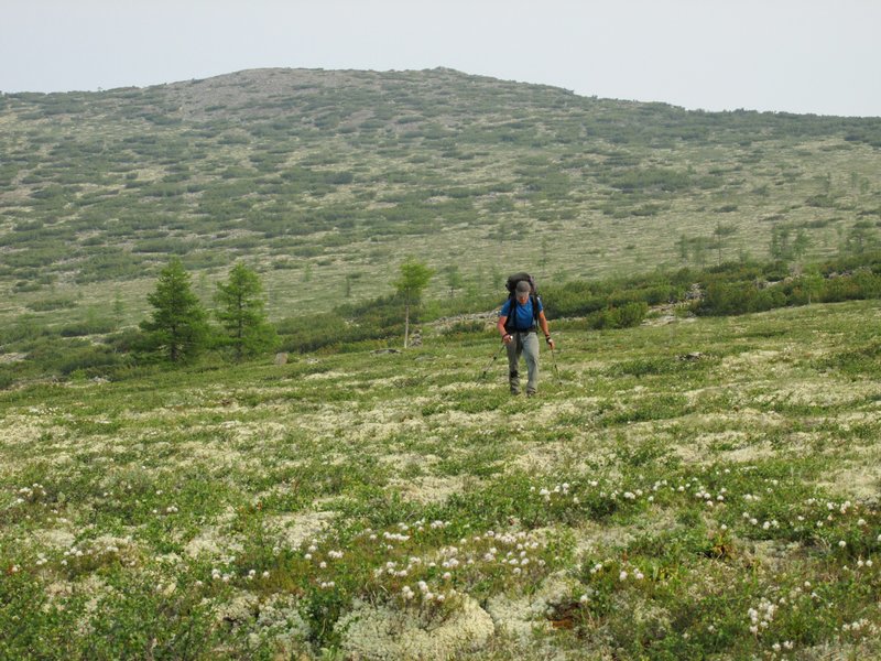
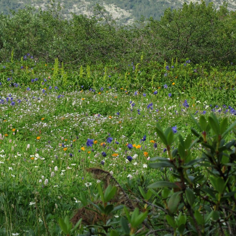
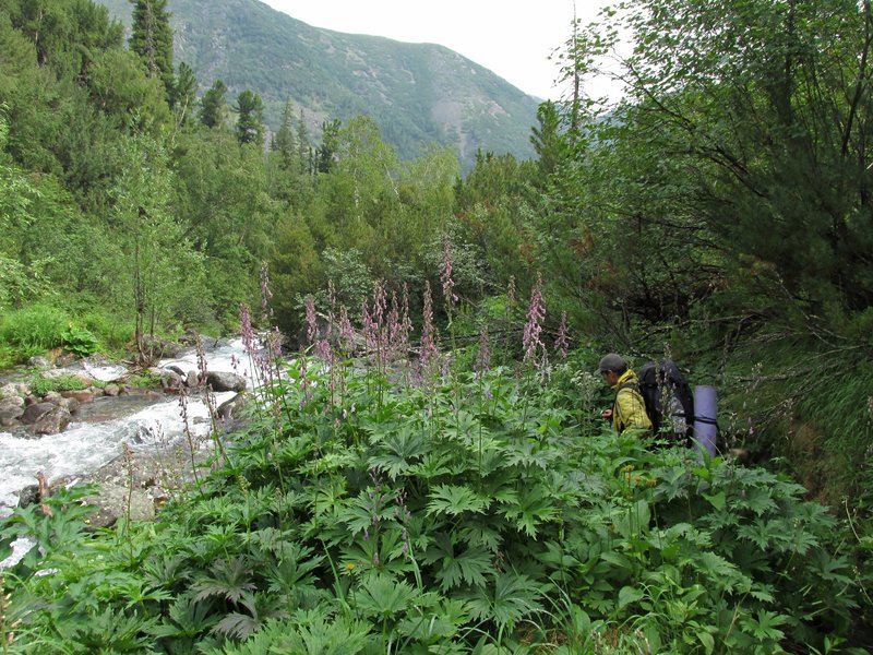
Начались такие вот удобные места. Белые цветы -- багульник.
A good places for walking. White flowers are ledum (labrador tea).
 |
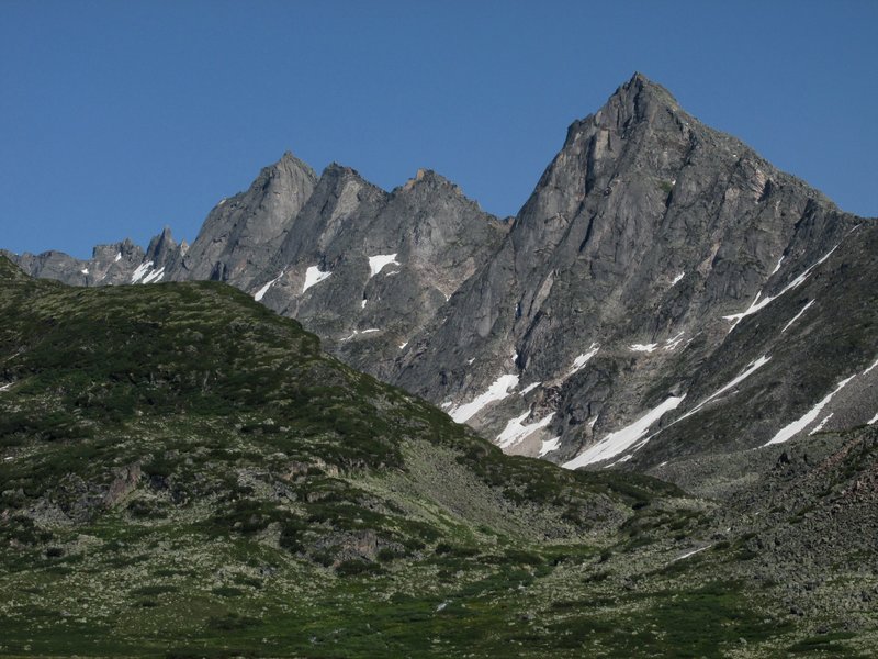
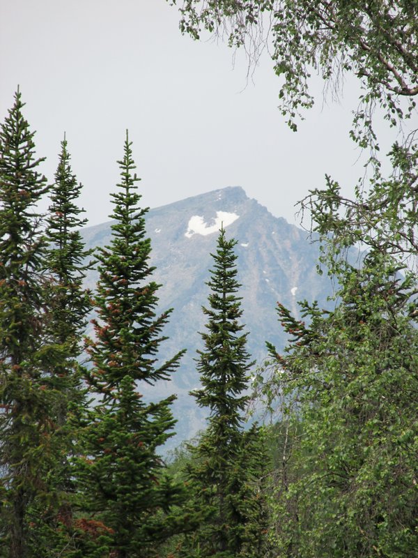
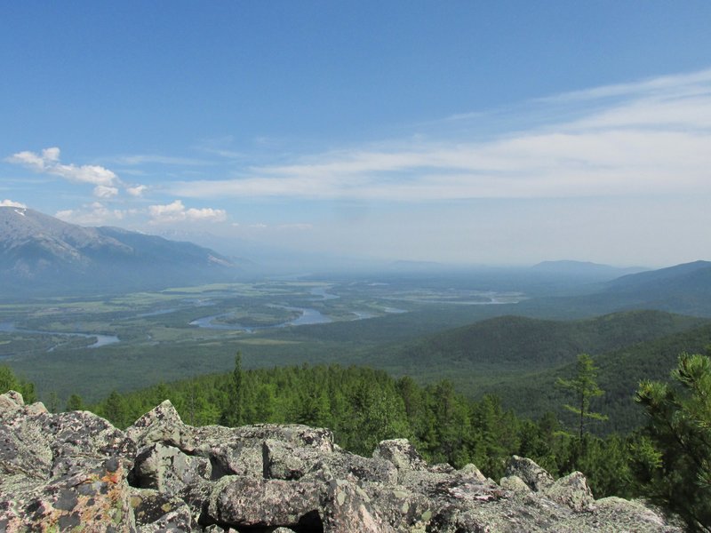
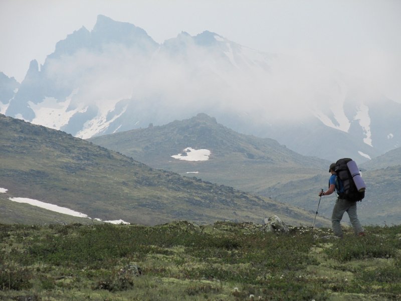
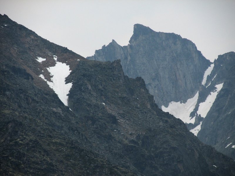
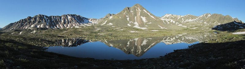
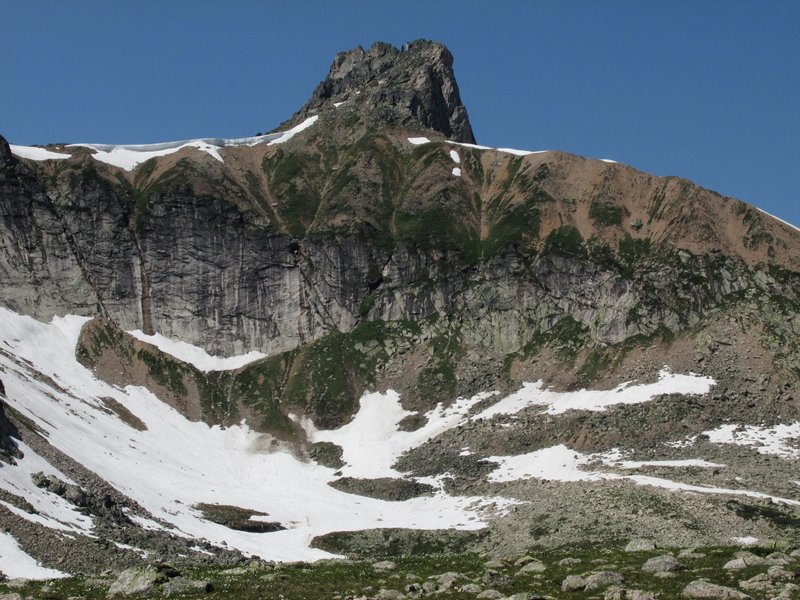
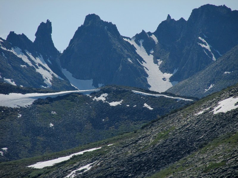
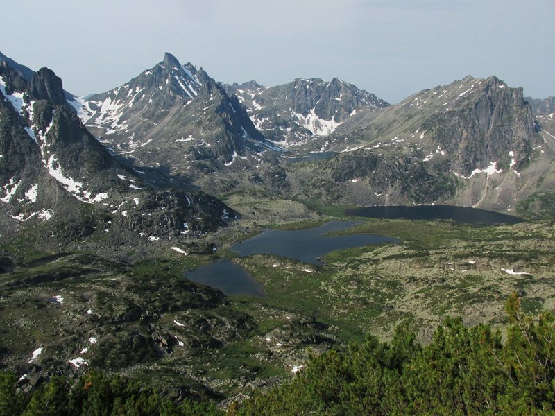
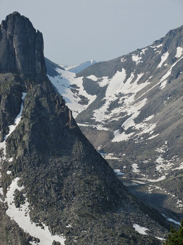
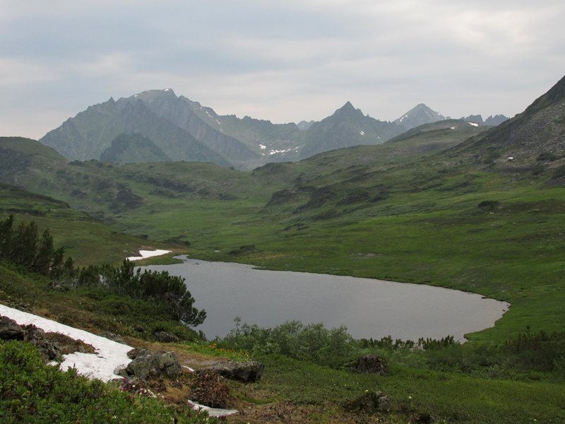
Гора Нос Покойника (2654 m)-- первая выдающаяся вершина
на нашем маршруте. Все в дыму, на гору мы решили не лезть.
The
mountain is called Dead ManQQs Nose, it is the first high mountain
(2654 m) near our way. Air is smoggy and we decided not to go to the top.
 |
Гора напоминает профиль лежащего на спине человека.
The mountain looks like a half face of a man
 |
собственно, нос
the nose
 |
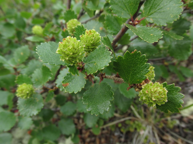
карликовая березка
dwarf birch
 |
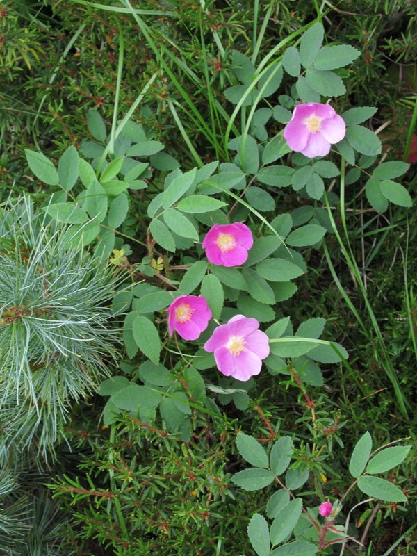
шиповник
rose
 |
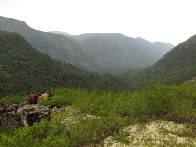
Дальше верхом не пройти, мы спускаемся вниз к реке
Илокалуй по долине ее небольшого притока.
There is no good way on top
further and we have to go down to Ilokaluj river along this small
tributary.
 |
переходим этот приток
crossing the tributary
 |
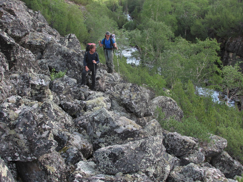
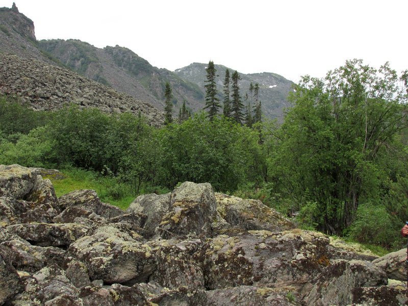
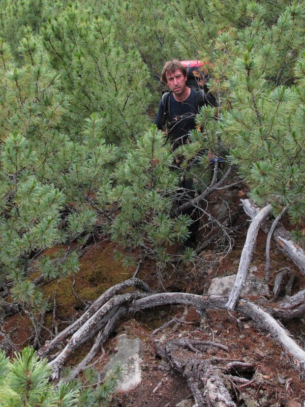
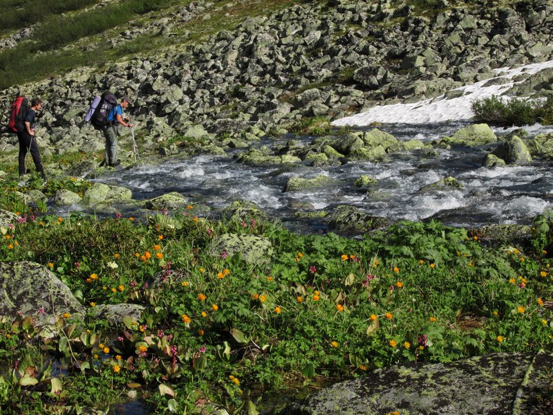
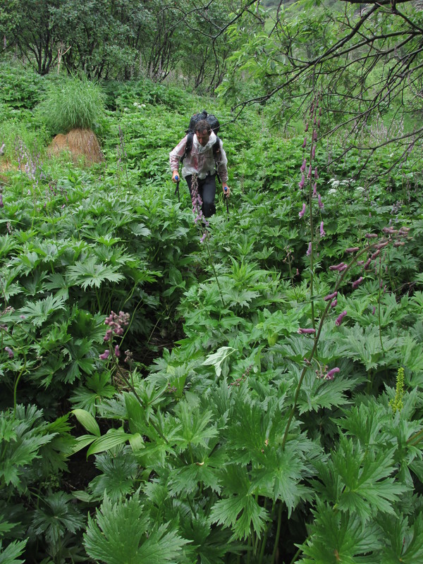
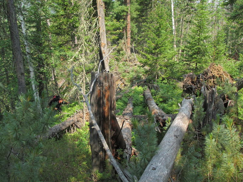
Последний участок спуска довольно суров: склон тут зарос
высоким кедровым стлаником.
On our way we got to dense bushes of siberian dwarf pine.
 |
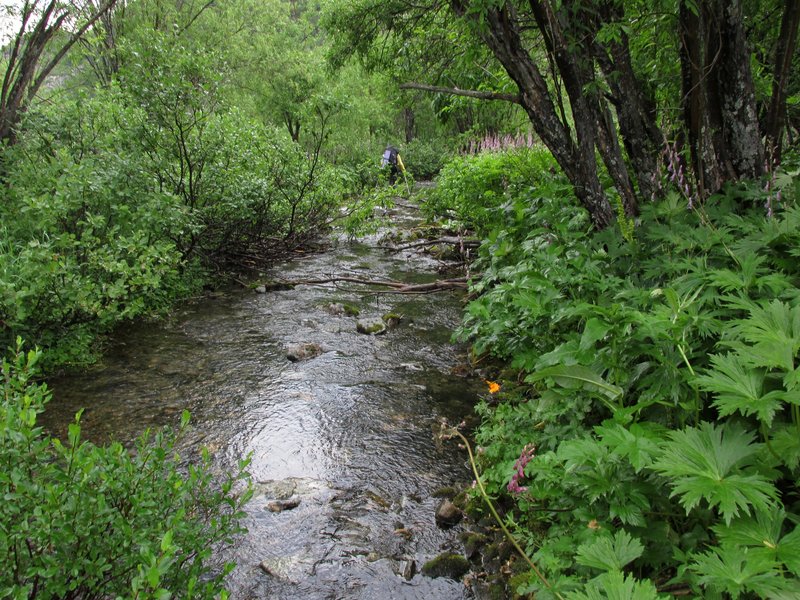
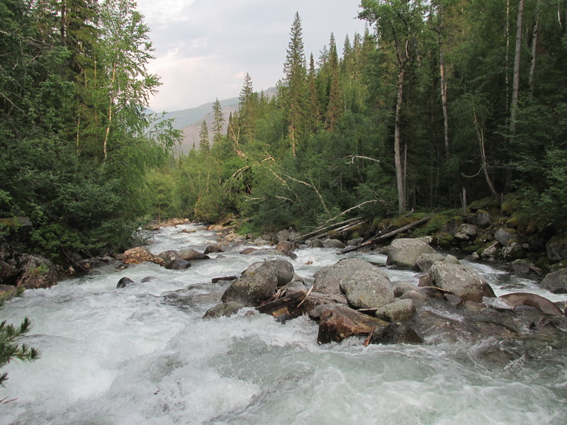
река Илокалуй
Ilokaluj river
 |
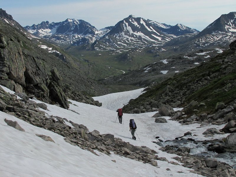
На следующий день погода дождливая, мы идем вверх по
Илокалую. На реке встречаются небольшие наледи.
Next morning the
weather is rainy. We are walking up the river. There are small icings on
it.
 |
кубик
a cube
 |
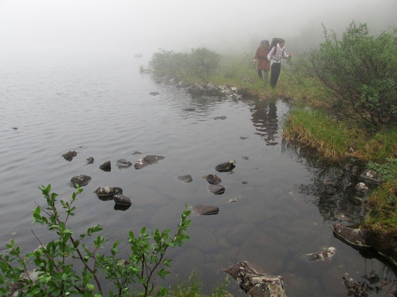
Поднимаемся в верховья. Тут нас накрывает облако,
начинается дождь. Идем мимо озер, ищем проходы в кустах стланика,
переваливаем небольшие каменные гряды.
Upper reaches of the river. We came into a cloud and finding
our way between small lakes, rocks, bushes.
 |
песчаный пляж
a sand beach
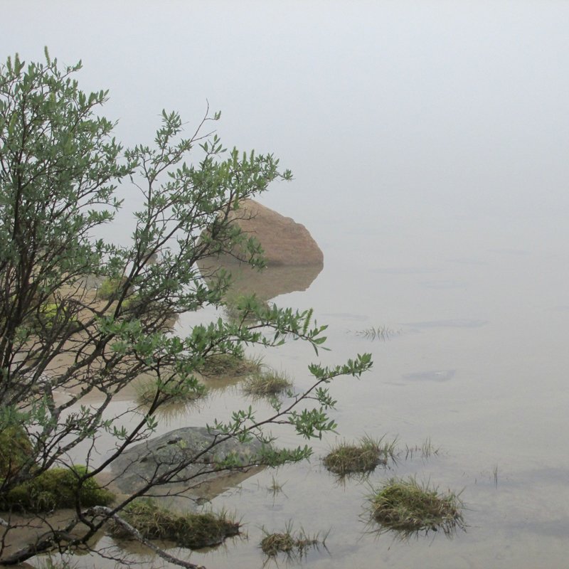 |
каменная россыпь на берегу озера
a scree shore
 |
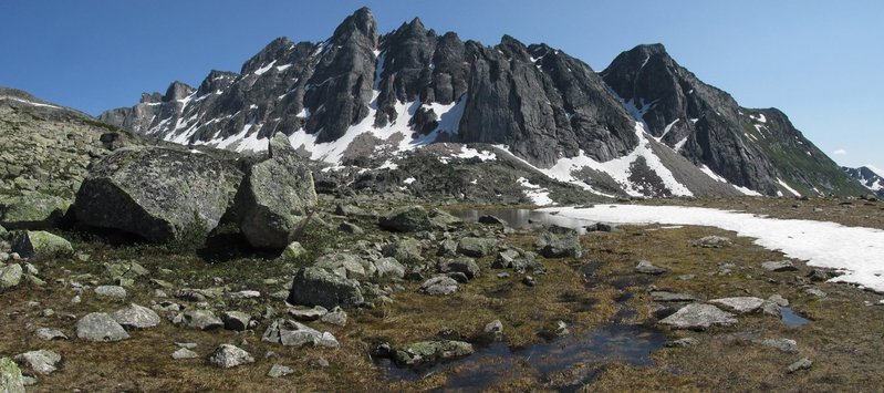
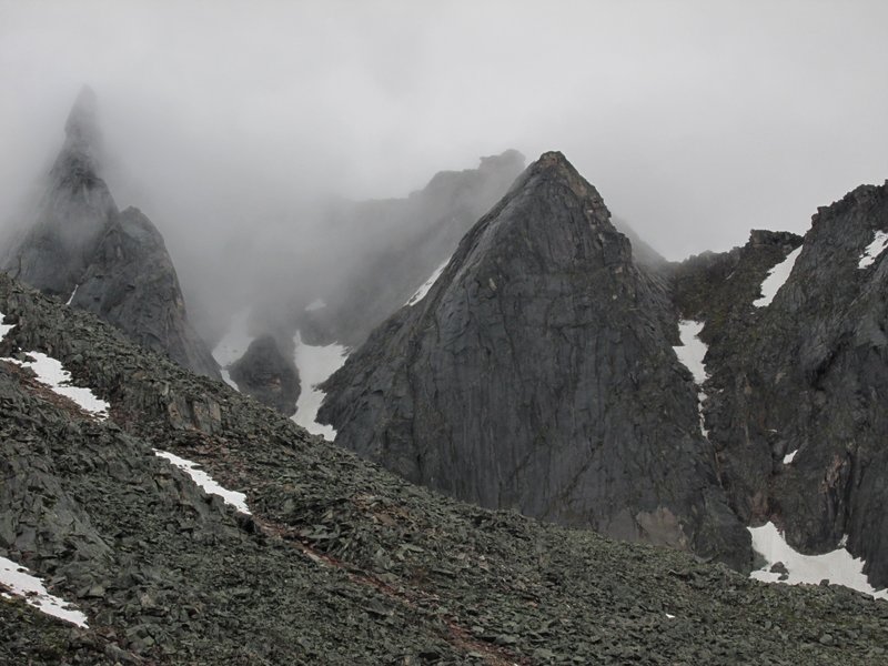
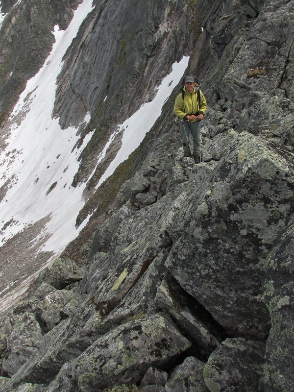
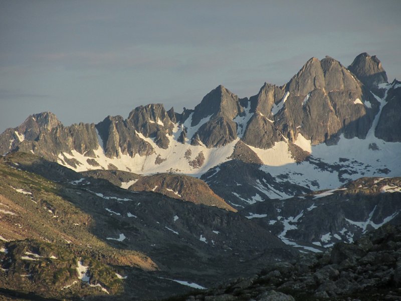
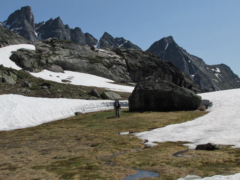
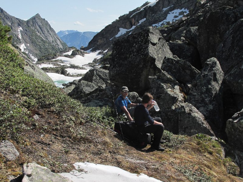
Подойдя под перевал, останавливаемся на раннюю стоянку. Над
нами -- вот такие скалы.
We came close to the pass and camp under such
nice rocks.
 |
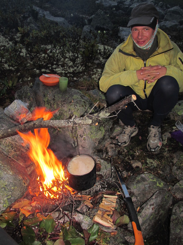
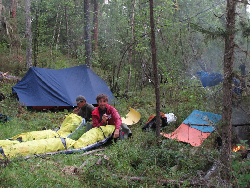
Варим кашу, сушим растопку на утро.
Cooking kasha,
drying some woods for making fire in the morning.
 |
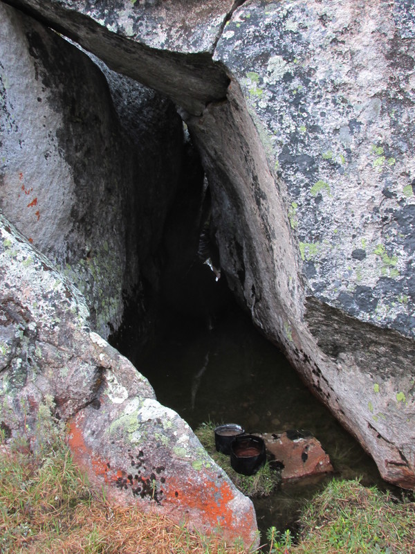
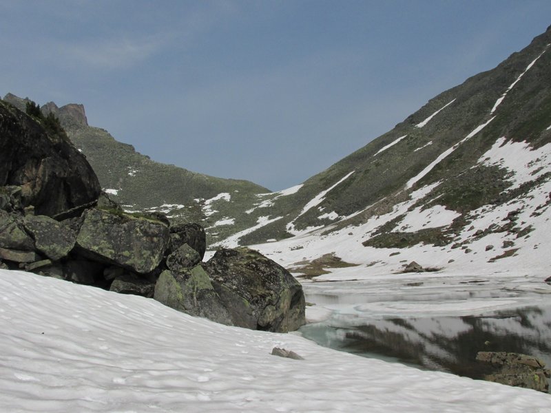
озерцо в каменной трещине, где мы берем воду
a tiny
lake in a stone crack -- our source of water
 |
это же место издали
the same place
 |
Идем к перевалу, он виден в левой части кадра.
our pass (in the left part of the picture)
 |
От большого озера поднимаемся на ступеньку долины под
самым перевалом.
From the large lake we came to a step of the valley
close to the pass.
 |
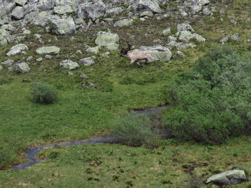
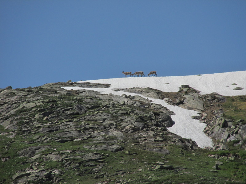
Внизу бегает олень, потом мы наблюдаем, как он зачем-то
переплывает большое озеро.
A raindeer is running nearby. Then we
see that it sweems across the lake.
 |
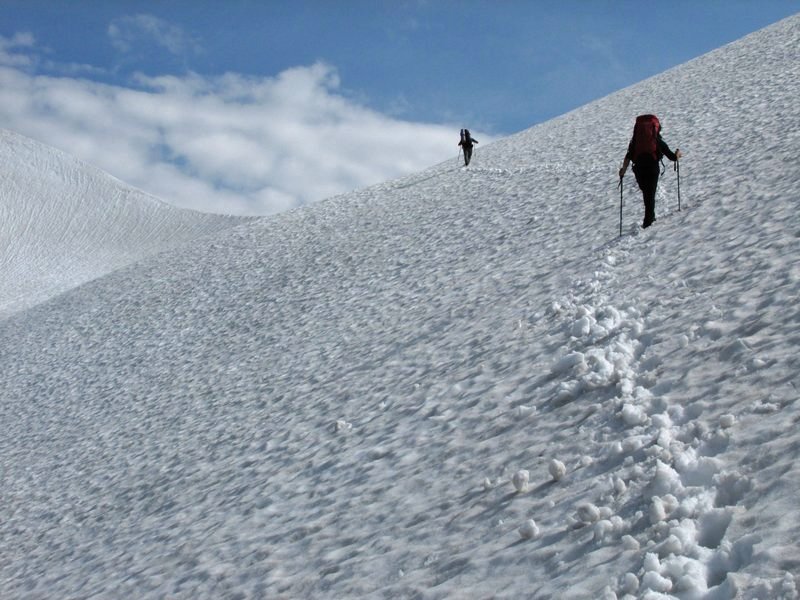
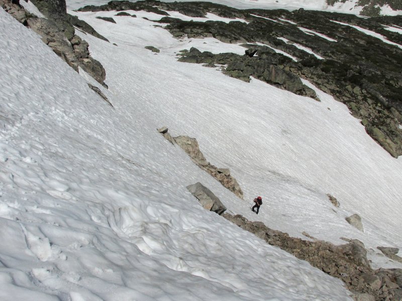
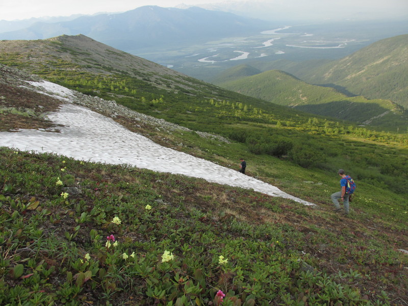
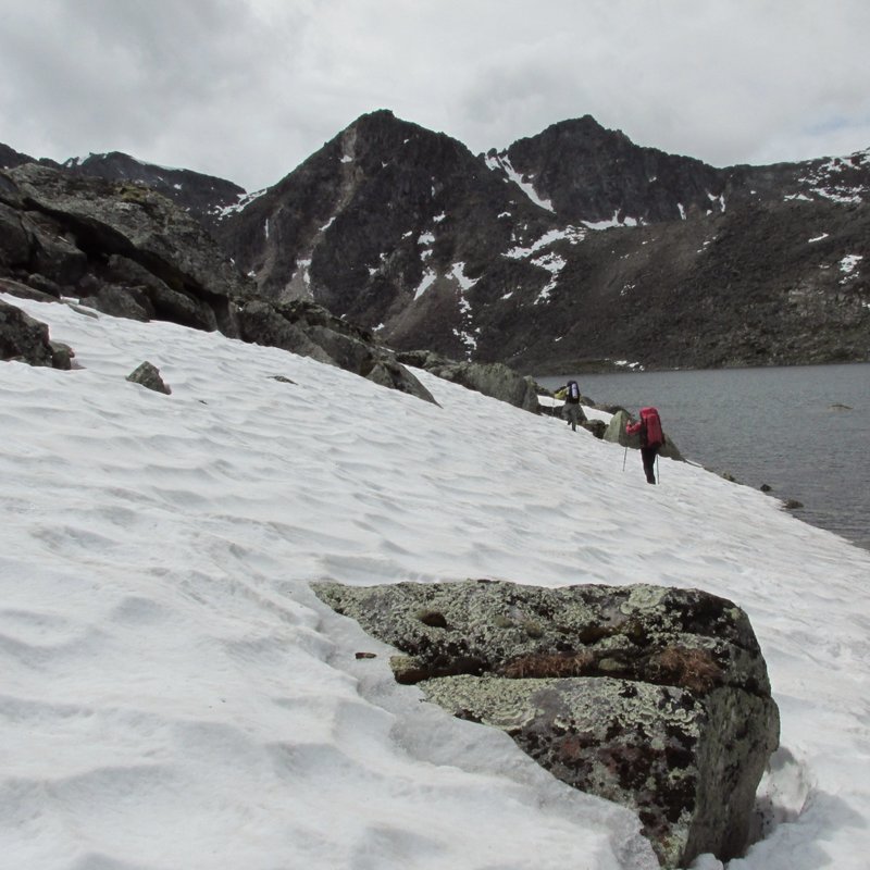
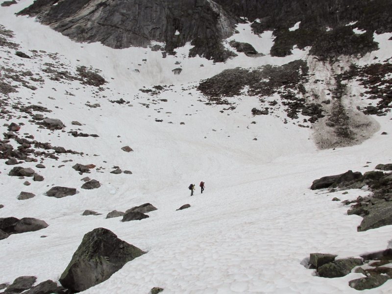
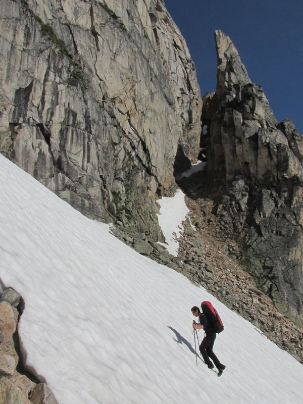
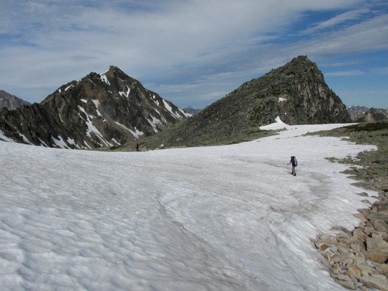
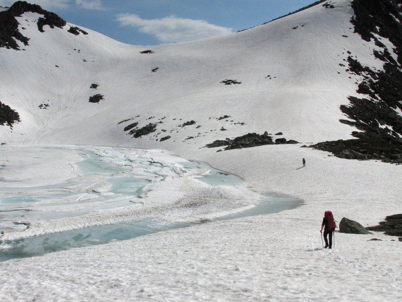
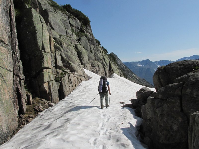
Подъем к перевалу. Снежники очень удобны для хождения.
Ascending the pass. Snow is good for walking.
 |
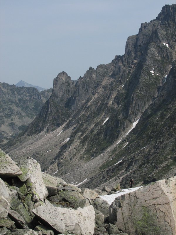
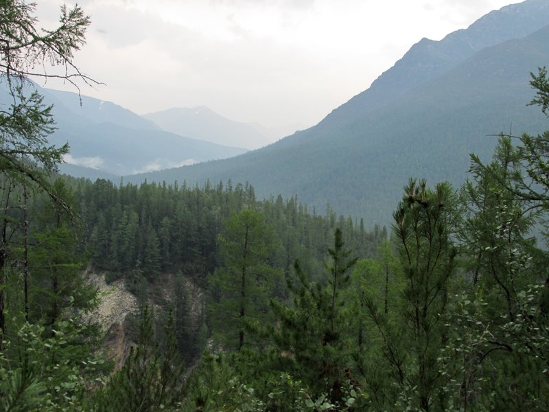
Перевал ведет к реке Верхняя Акули, но нам сейчас туда не надо.
Идем по хребту на соседний перевал, в верховья реки Светлая. Хребет
постепенно становится круче.
The pass leads to Upper Akuli river, but we are not going there.
We are walking along a ridge to a neighboring pass which leads
to Svetlaya river. The ridge continously become narrow.
 |
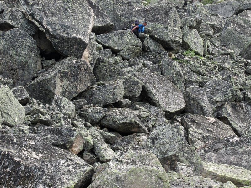
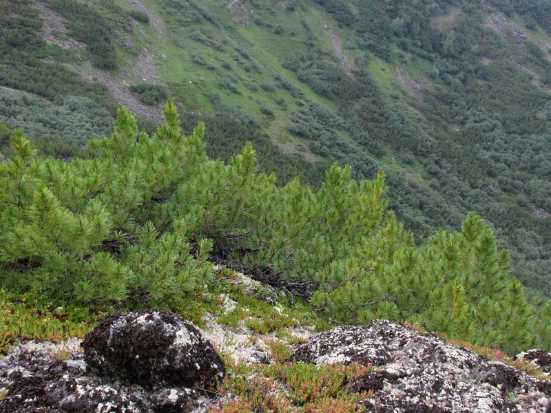
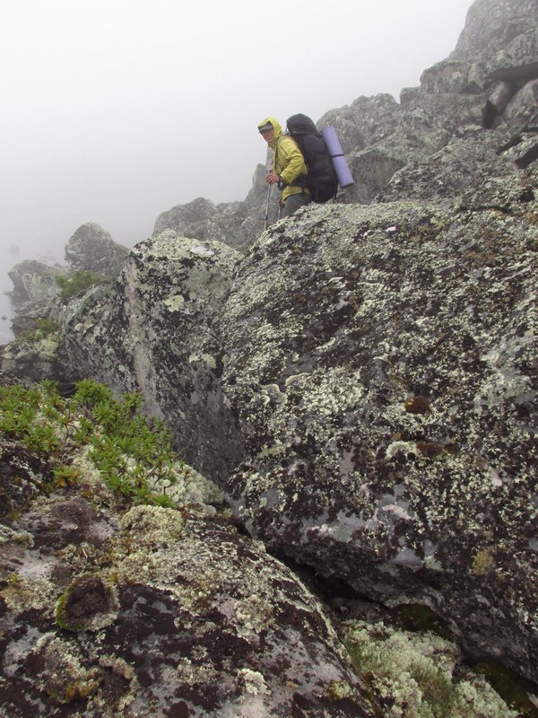
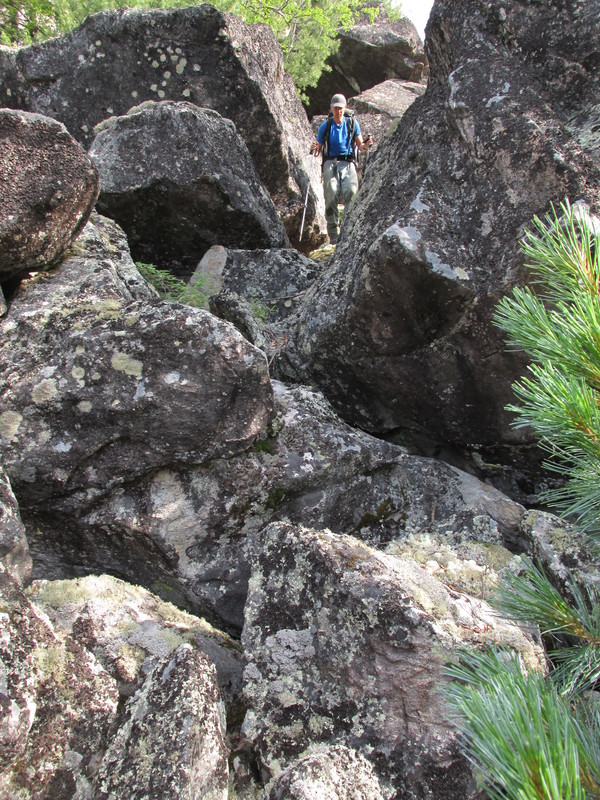
Мы уходим с хребта на осыпной склон под следующим
перевалом. На хребте такие вот крупные глыбы.
We go from the ridge
to a scree under the next pass.
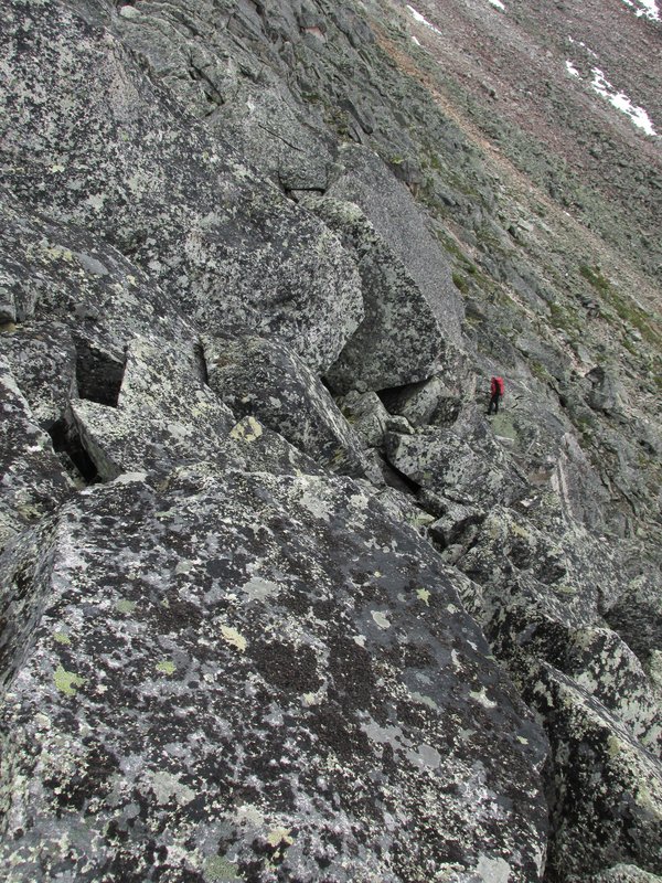 |
Начало спуска в верховья реки Светлая
Descending to
Svetlaya river.
 |
погода улучшается
weather gets better
 |
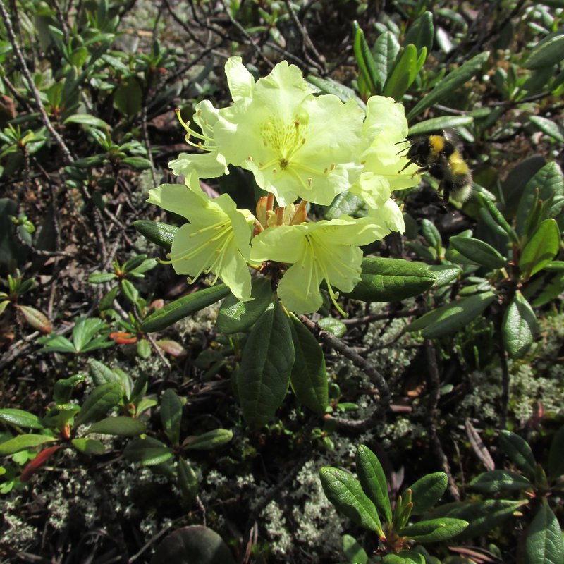
шмель и золотистый рододендрон
bumble-bee and
rhododendron aureum
 |
обходим большое озеро
we go round a large lake
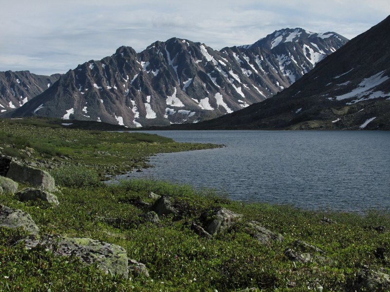 |
За озером виден пологий водораздел к следующему
притоку Светлой и скалистые горы, к которым мы идем. Справа в глубине
-- скалы у нашего следующего перевала.
There is a small watershed behind the lake, which leads to a next
tributary of Svetlaya river. We are going to the rocky mountains behind
it. Our next pass is near rocks which are seen in the
background on the right.
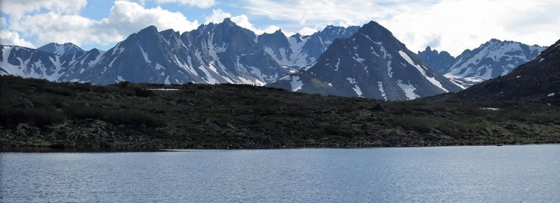 |
ручей, вытекающий из озера
a river beginning at the lake
 |
Вид вниз по Светлой
a view down Svetlaya river
 |
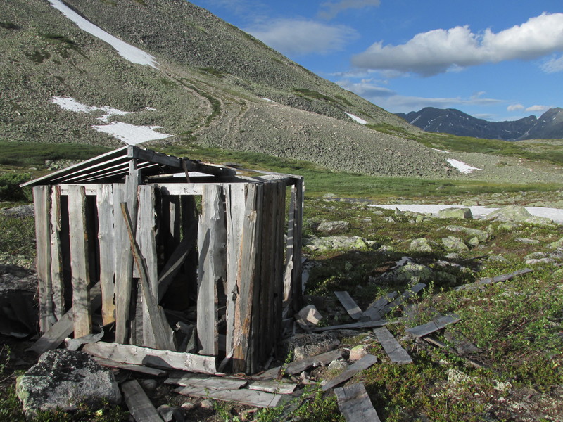
Находим полуразвалившийся балок, встаем около него на
стоянку.
We found an old ruinous cabin and camp near it.
 |
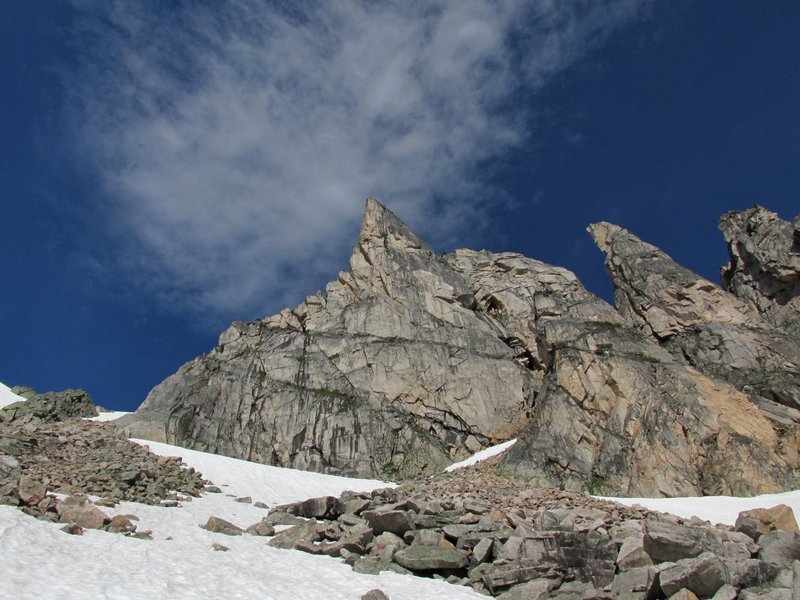
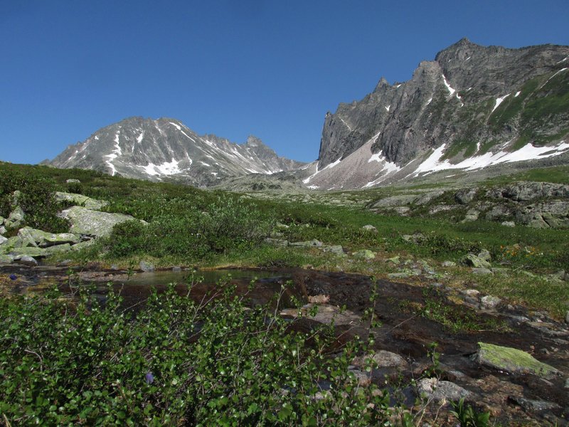
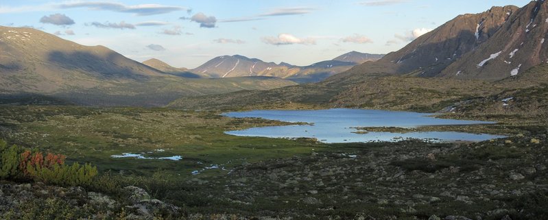
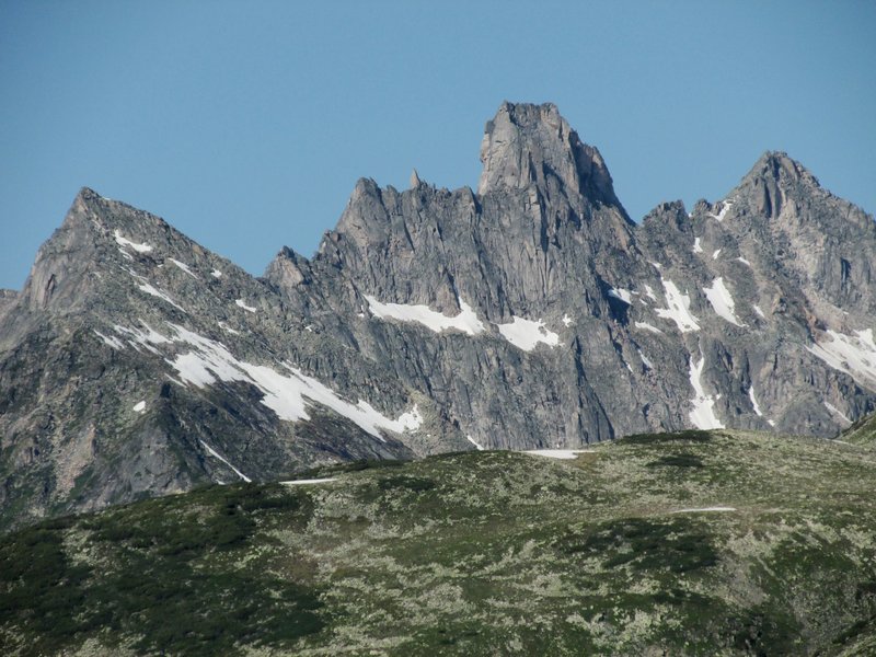
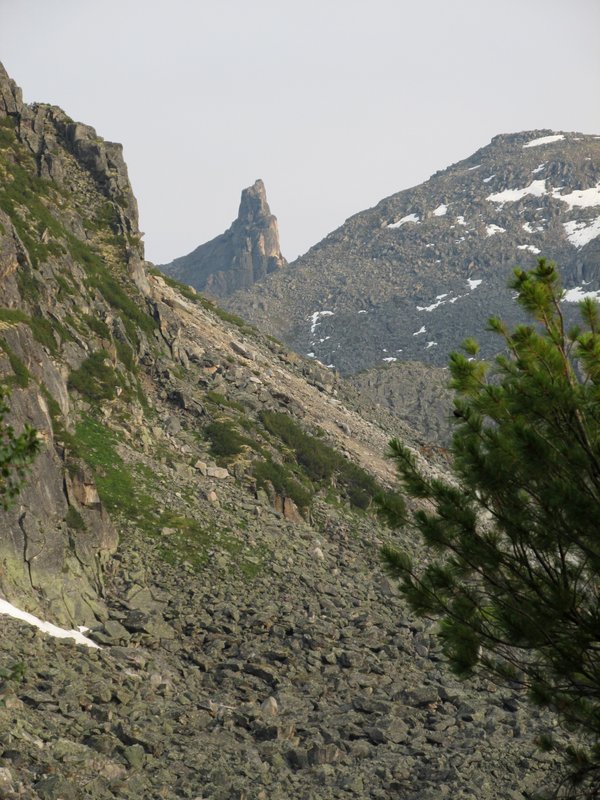
Вдали между скалами -- наш следующий перевал. А левее на
хребте виден забавный скальный палец.
This is our next pass at a distance,
between rocks. To the left of it there is a funny rock pinnacle.
 |
вечерний вид вниз по долине
evening view down the valley
 |
Утром отличная погода
Next morning the weaher is excellent.
 |
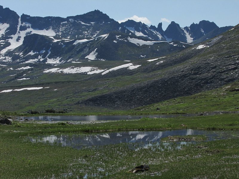
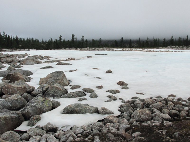
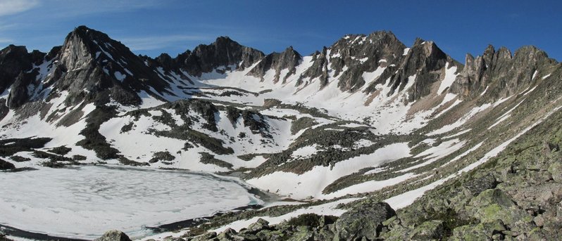
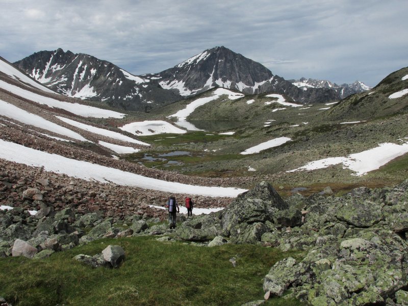
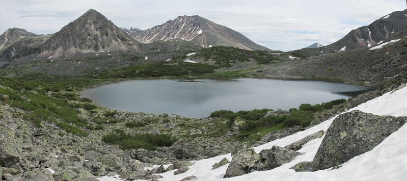
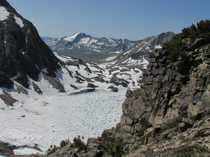
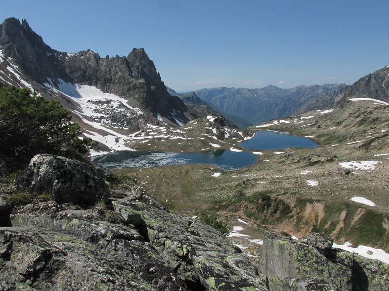
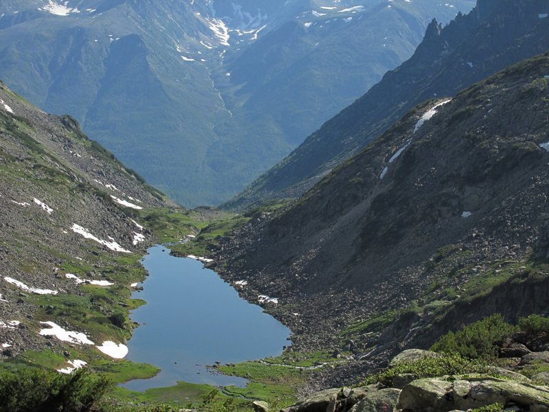
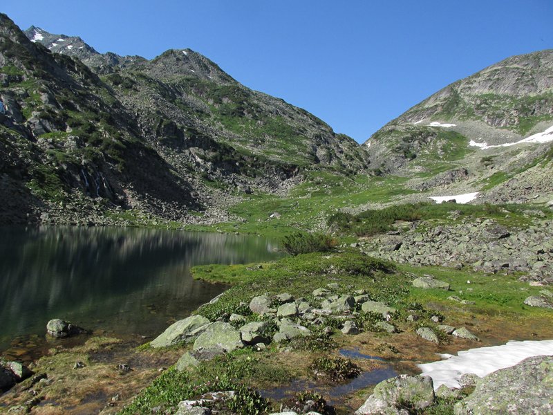
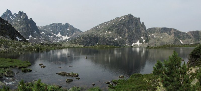
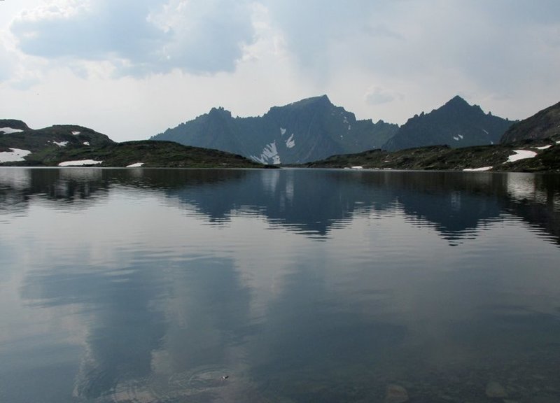
Через небольшой водораздел выходим в цирк под перевалом.
Очень красивое место с замерзшим озером, скалами, снежниками.
Through a small watershed we came to a cirque with our pass. Very nice place
with a frozen lake and plenty of snow surrounded by rocks.
 |
подъем на перевал
ascending the pass
 |
вид вниз по Светлой
a view down Svetlaya river
 |
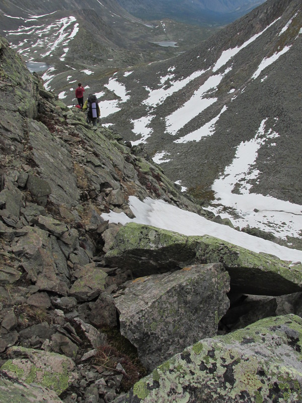
Перевал опять двойной. Он ведет в Верхнюю Акули, но мы
опять не собираемся туда спускаться и уходим на соседний пологий перевал
к реке Аку.
It is again a double pass. The first one leads again to
Upper Akuli, but we go to the second one which leads to river Aku.
 |
спуск с перевала
descending the pass
 |
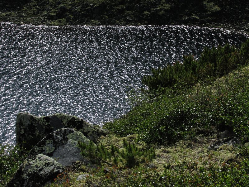
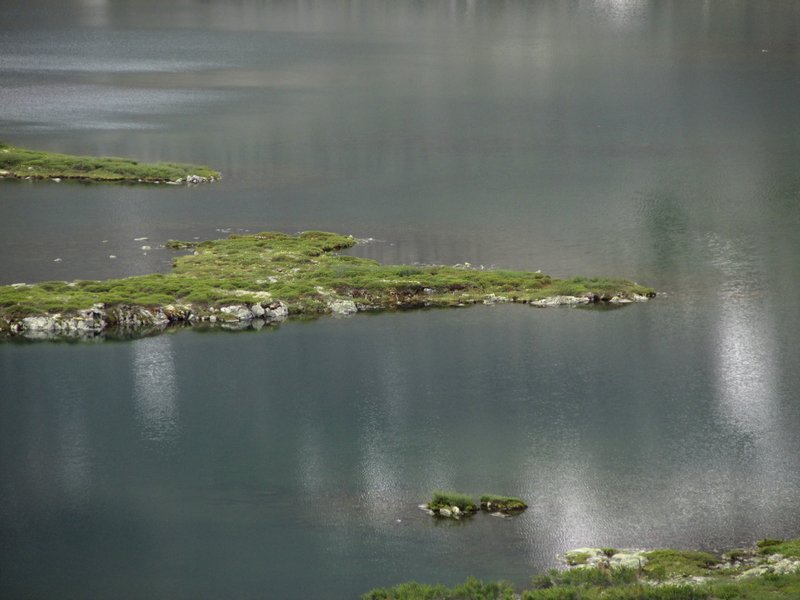
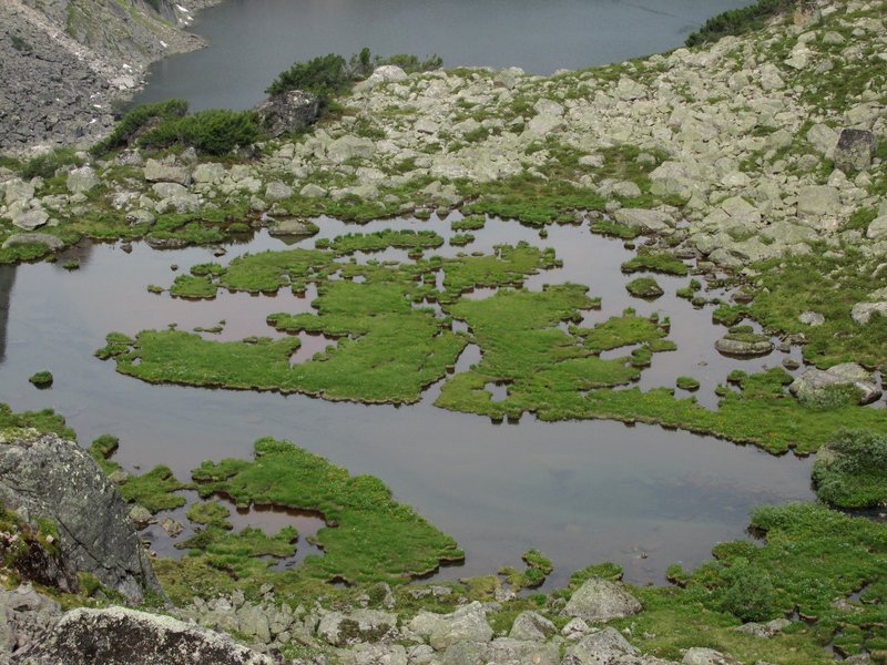
мысы и острова на большом озере
capes and islands in a
large lake
 |
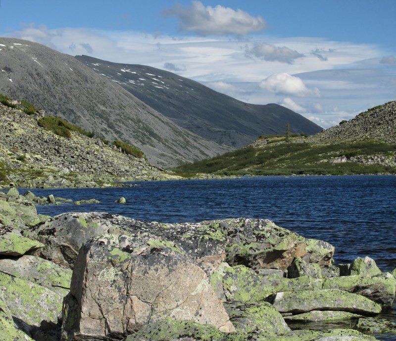
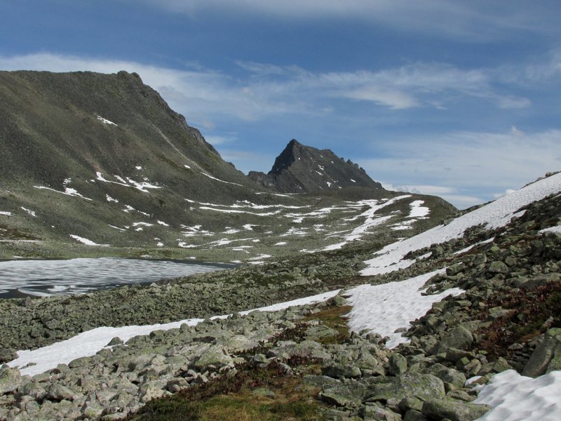
Через низкий водораздел выходим к реке Верхняя Акули.
Through a watershed we finally came to Upper Akuli river.
 |
Тут мы уже были в 2004 году. В центре
-- гора Акулимашкит (2437 м), на которую мы тогда залезали.
We was here in 2004. In the center
there is Amulimashkit mountain (2437 m) which we climbed at that time.
 |
Следующий перевал -- к реке Тала.
The next pass to Tala river.
 |
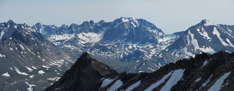
Вид на горы в верховьях реки Тала. Тут мы были в
2009 году. Тогда
мы пришли справа и уходили вдоль цепи скалистых гор налево. Сейчас
наша цель -- выраженный перевал в правой части кадра.
Valley of Tala river with rocky mountains. We were here
in 2009. Now we
are going to the pass in the right part of the picture.
 |
удобный спуск по пологим снежникам
a convenient way down
 |
красивая долина Талы
Tala valley
 |
вид вниз по реке
a view down the river
 |
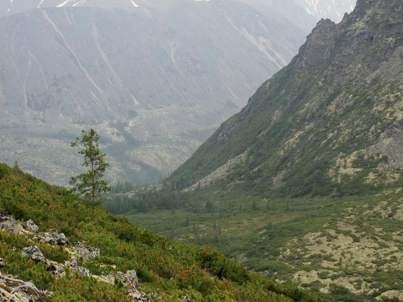
луга, кусты стланика, заросли невысокой карликовой
березки, протоки реки и небольшие озера
 |
вечерний вид на горы в верховьях Талы
rocks in an
evening light
 |
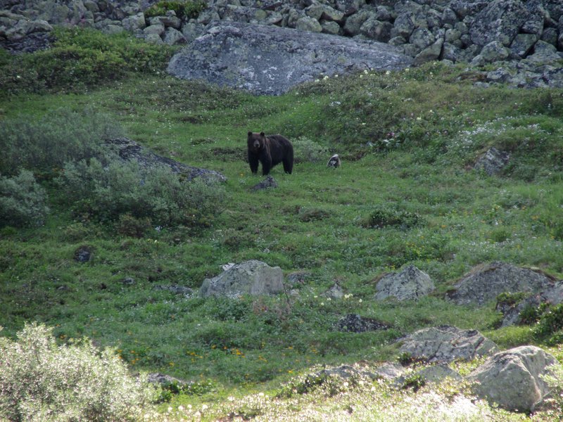
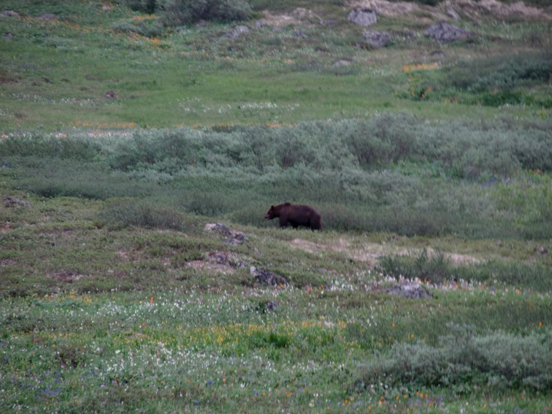
Утром встретили первого медведя за поход.
In the morning we meet the first bear.
 |
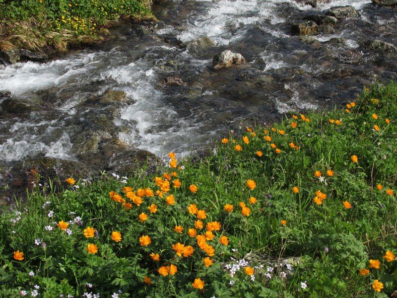
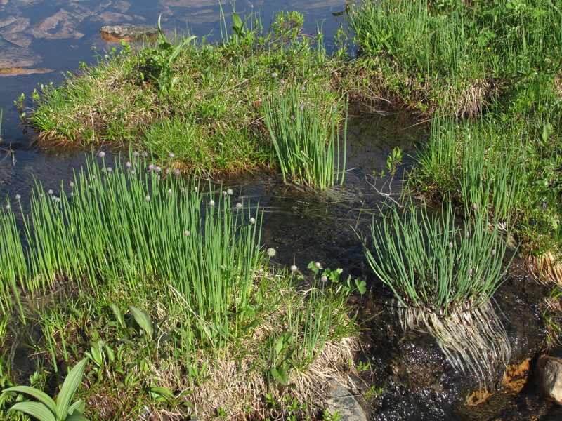
Едим лук, который в больших количествах растет у воды
onion
 |
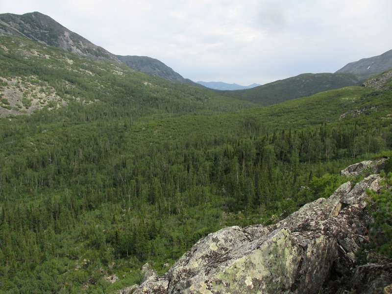
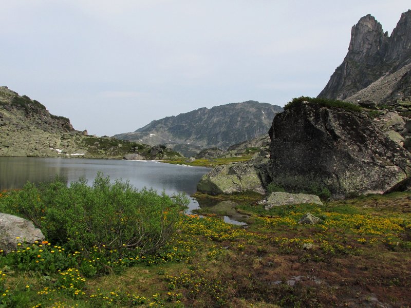
Верховья долины, слева -- наш следующий перевал.
our next pass
 |
А это вид назад, перевал, с которого мы пришли.
and the
previous pass
 |
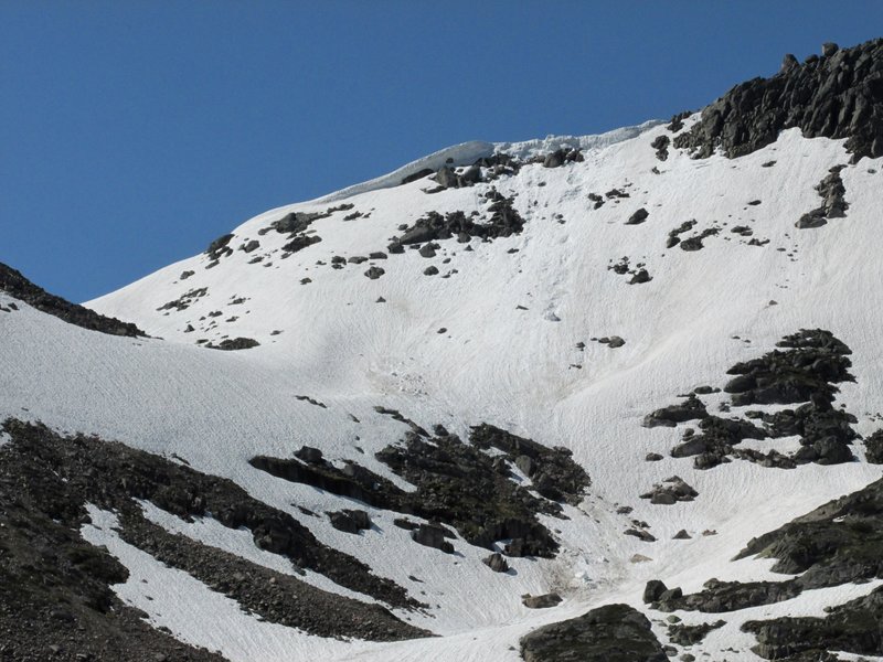
Над перевалом -- большой снежный карниз,
внизу валяются отвалившиеся от карниза куски.
a snow ledge above the pass
 |
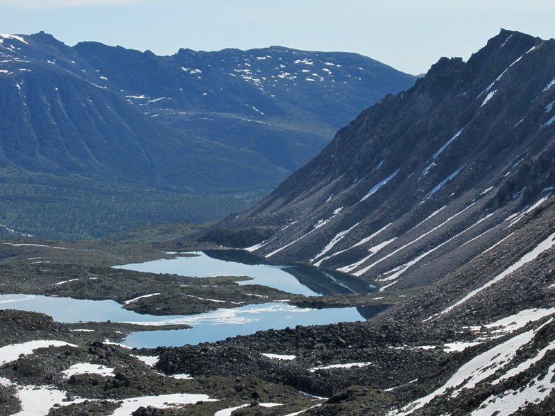
Перевал ведет в приток Правой Фролихи, однако сразу за
озером виден невысокий водораздел, за которым начинается широкая долина
Томпуды -- туда мы и идем.
There is a watershed behind the lake
and wide Tompuda valley behind it.
 |
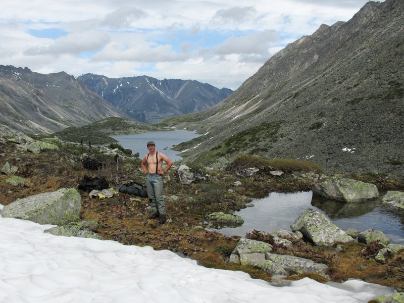
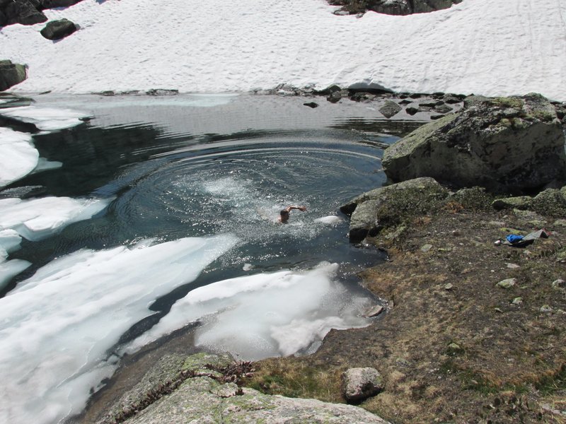
Обед на озере. Установилась очень жаркая погода, начиная
с этого момента мы старались купаться на всех обедах и стоянках.
Weather
is very hot, we are swimming every day starting from this moment.
 |
подъем от озера на водораздел к реке Томпуда
ascending
from the lake
 |
вид в сторону Правой Фролихи
 |
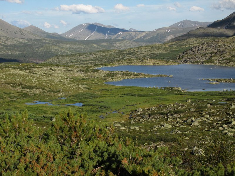
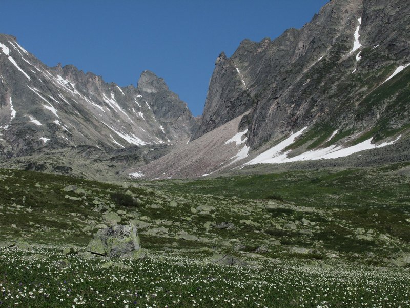
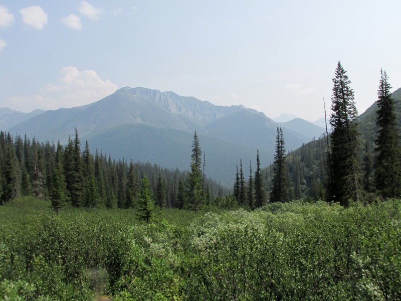
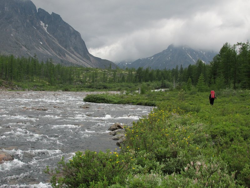
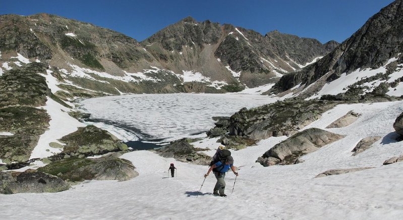
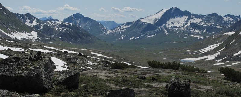
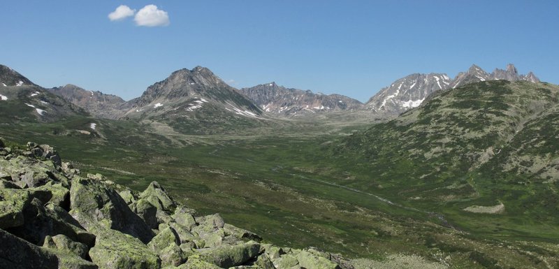
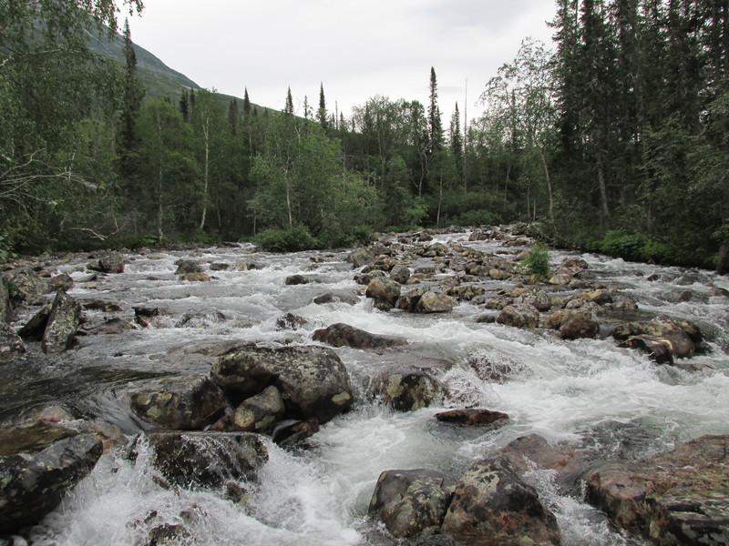
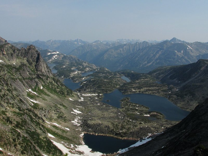
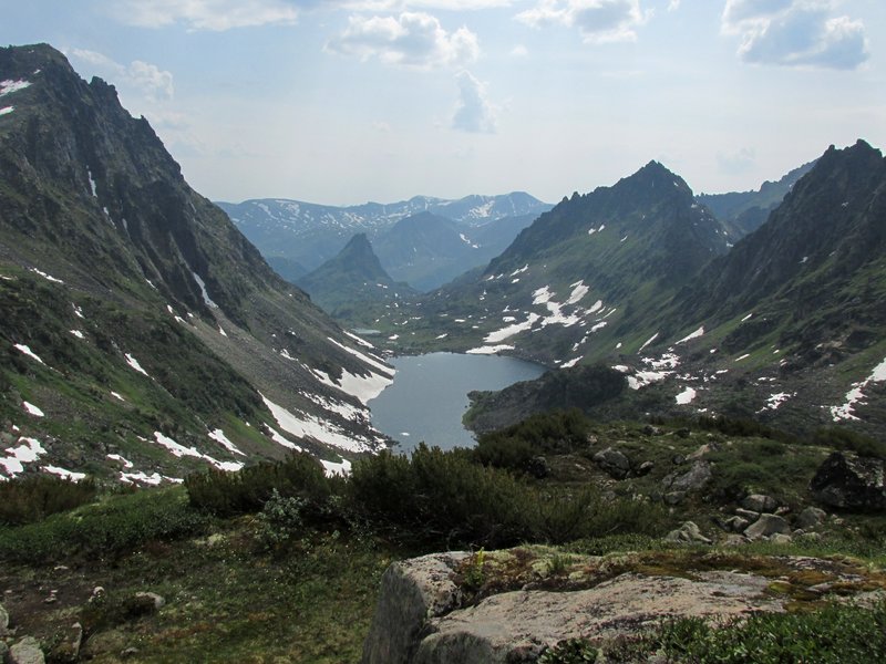
Долина Томпуды, широкая, очень удобная для хождения.
В центре кадра виден наш следующий перевал.
Tompuda valley.
Our next pass is seen in the center.
 |
Скалы по левой стороне долины -- это обратная сторона той
же горной цепи, которую мы видели в верховьях Талы.
Rocks on the left
side of the valley. ItQQs the same ridge which we saw from Tala river.
 |
а это -- горка на другой стороне долины
and this is a
mountain on the right side of the valley
 |
скалы в долине бокового притока
rocks in a tributary valley
 |
олени
deers
 |
вид вниз по Томпуде
a view down Tompuda river
 |
болото
swamp
 |
поднялись на перевал
on the pass
 |
вид на верховья Томпуды с перевала
upper reaches of
Tompuda valley
 |
более крупный вид
rocks at a distance
 |
Спускаемся в долину притока Левой Фролихи.
 |
До озера -- удобный спуск, дальше начинаются густые кусты
и лес.
The pass leads to a deep valley of Froliha river. Behind the
lake dense bushes and forest start.
 |
вид на перевал от озера
the lake and the pass
 |
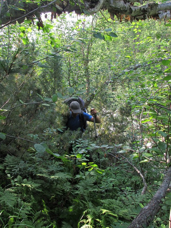
начались заросли
beginning of dense bushes
 |
заросли осложнены каньонами на ручье
there are also
canyons on the river
 |
и россыпями крупных каменных глыб
and larde stones
 |
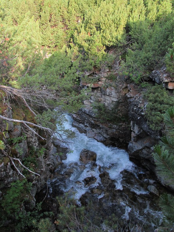
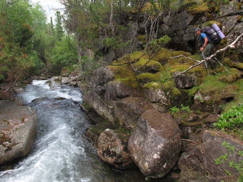
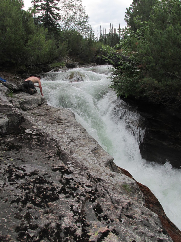
А это уже водопад на Левой Фролихе. Тут мы идем по неплохой
тропе вдоль реки.
We came to Froliha river. There is a trail along it.
 |
Левая Фролиха. Уходим с тропы, бродим речку и начинаем
вылезать наверх.
After some time we are leaving Froliha river and
walking uphill again.
 |
Поднялись над заросшей кустами долиной
The valley is
covered with bushes.
 |
цветущие луга
 |
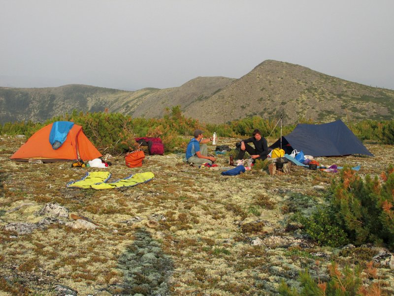
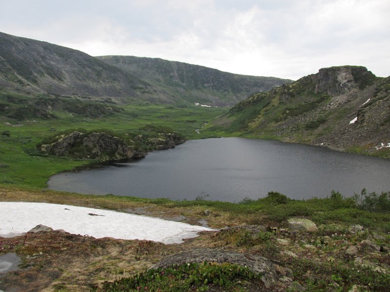
Вышли на высокое плато с озерами и встали на стоянку.
Впереди видны красивые скалы.
In the evening we came to
a platou with lakes and stopped here. A mountain cirque with rocks
is seen in front of us.
 |
А сзади -- долина Левой Фролихи.
Deep Froliha valley is
behind us.
 |
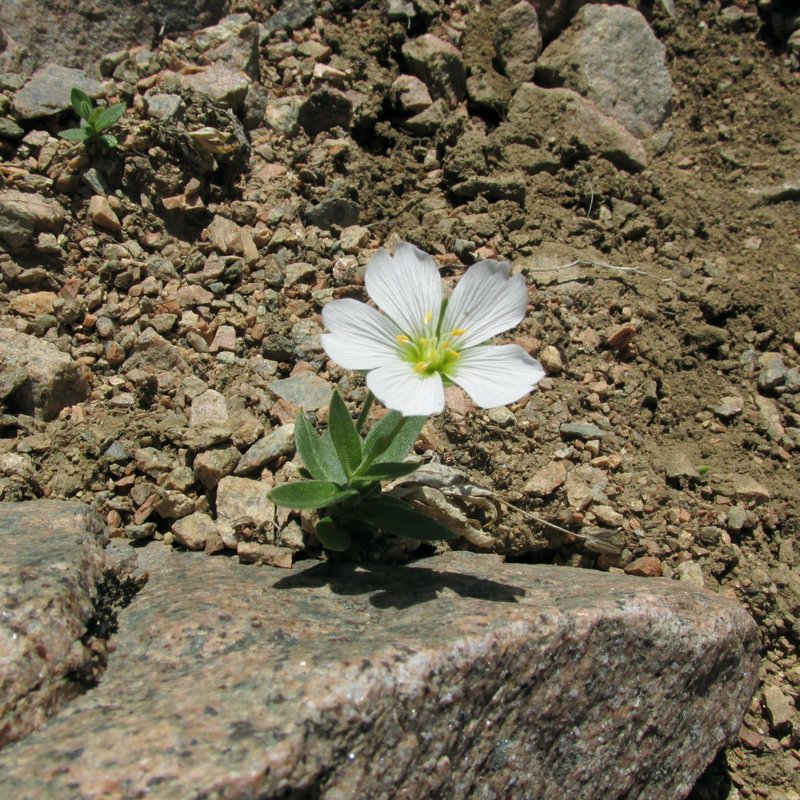
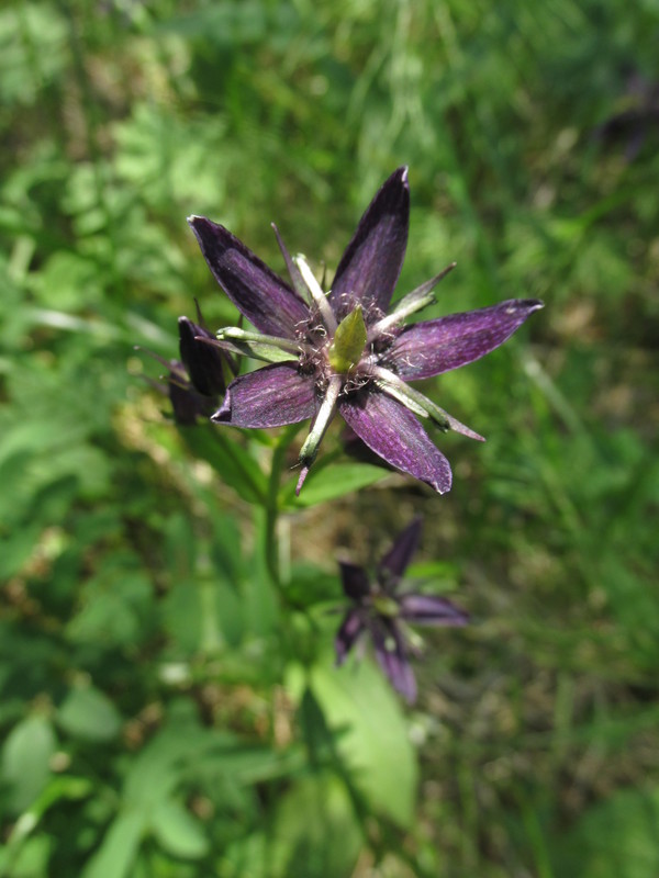
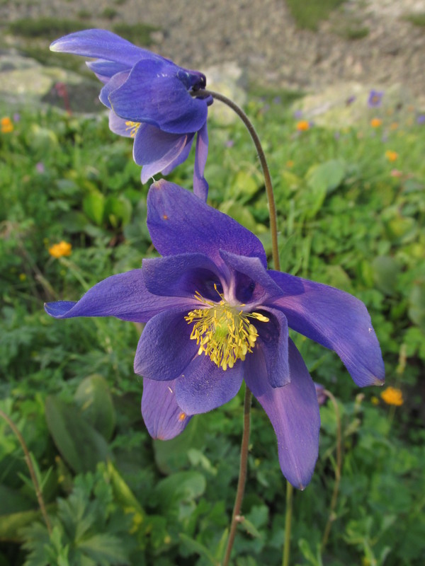
водосборы
Aquilegia pyrenaica
 |
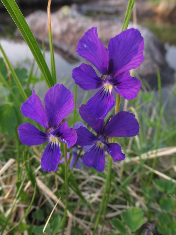
viola flowers
 |
Наш следующий перевал
our next pass
 |
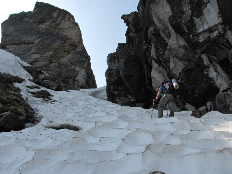
от озера -- удобный подъем по снегу
 |
Выход на седловину
 |
За перевалом открывается вид на долину реки Правая
Ширильды. Нам нужно ее пересечь и через перевал, который виден
слева, выйти к реке Левая Ширильды.
 |
Наш следующий перевал
 |
А это вид назад, долина Левой Фролихи и плато с озерами
над ней
 |
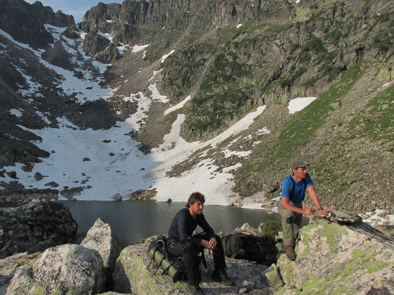
Костя рассматривает путь спуска
 |
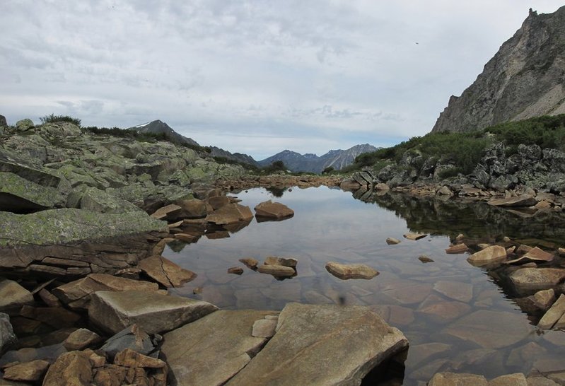
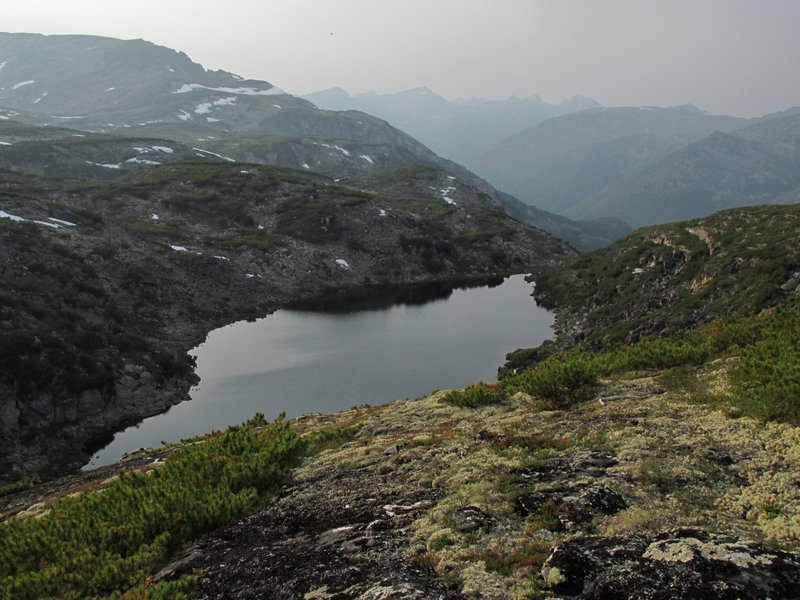
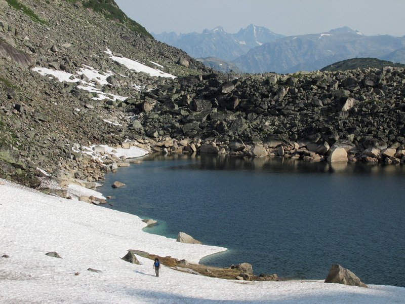
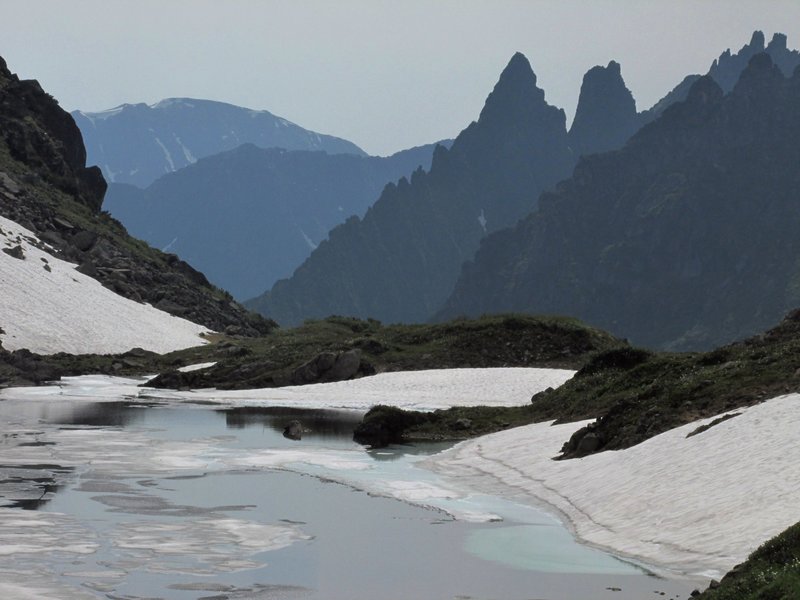
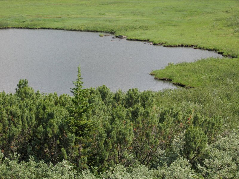
озеро в долине
 |
архипелаг
 |
по пути к перевалу проходим несколько красивых озер
 |
выходим на перевал
 |
спуск
 |
пройденный перевал
 |
Долина реки Левая Ширильды. Нам не нужно спускаться вниз,
мы собираемся уйти влево за горку и пойти по водоразделу между Левой
Ширильды и рекой Иркандан, притоком Томпуды.
 |
скалы на Левой Ширильды
 |
Идем по водоразделу, проходя небольшие перевалы
от одного ручья к другому.
 |
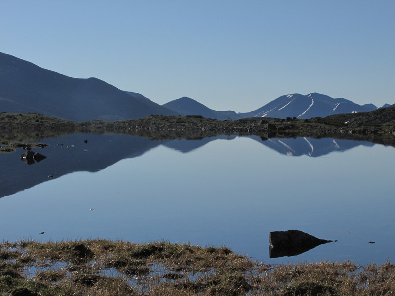
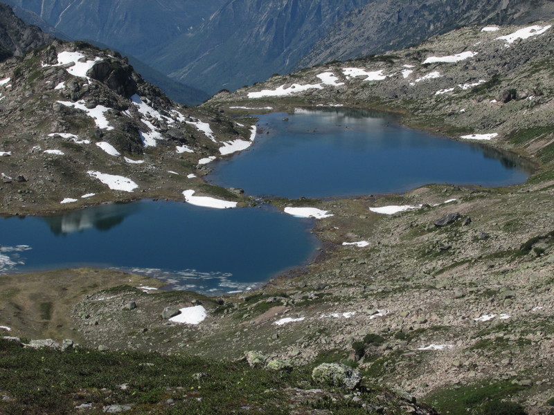
Проходим очень много красивых озер.
 |
Встали на стоянку на этом озере. Погода портится. Вверху
по долине бродит медведь, незаметно он подбирается совсем близко к лагерю.
Мы пугаем его криками и он убегает.
 |
Медведь подкрался незаметно. Смотрим -- а он уже за
ближайшим кустом.
 |
Вечером обнаружили еще трех медведей, гуляющих
по лугам вдали. Беспокоимся, что ночью и они придут в лагерь.
 |
Утром погода дождливая, медведей не видно. Мы уходим от
красивых гор, переваливаем к притоку Иркандана и начинаем долгий и
лесной спуск к Томпуде.
 |
В зарослях
 |
идем по руслу ручья
 |
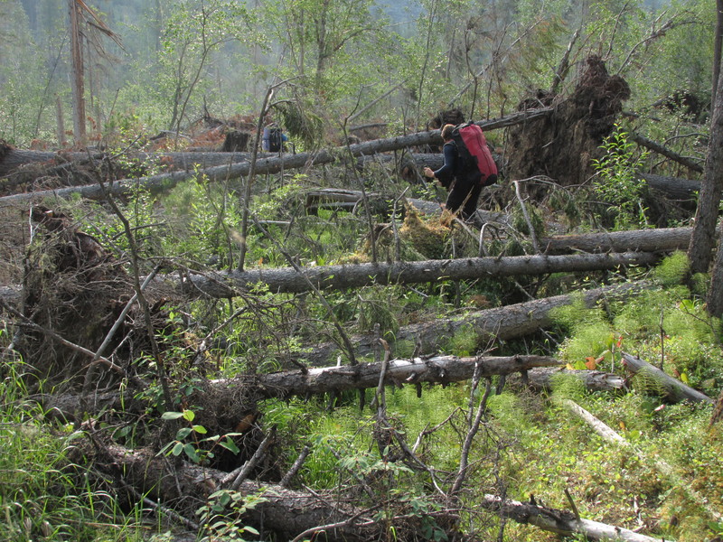
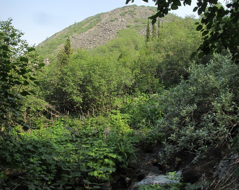
Обходим ущелье на ручье по заросшему стлаником склону.
Впереди ущелье кончается, начинается заросшая кустами долина
 |
в кустах у реки
 |
заросли продолжаются до самого устья реки
 |
К вечеру вышли на Томпуду. Собираем катамаран для переправы.
 |
переправились
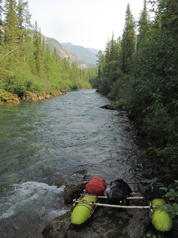 |
Наше место для переправы было выбрано очень удачно --
ниже начинаются пороги.
 |
Мы идем вниз по Томпуде. Тут есть тропа, но сильно завалена,
а иногда совсем теряется в горелом лесу.
 |
К обеду вышли ко впадению реки Топо. Видно, что место
посещаемое: поляны, старые туристские стоянки, хорошая тропа. Отсюда нам
надо идти вверх по Топо, через простой перевал выходить на реку Улюгна и
спускаться вдоль нее в Баргузинскую долину.
 |
река Томпуда у впадения Топо
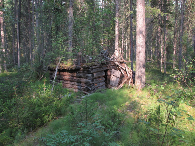
 |
река Топо
 |
старое зимовье
 |
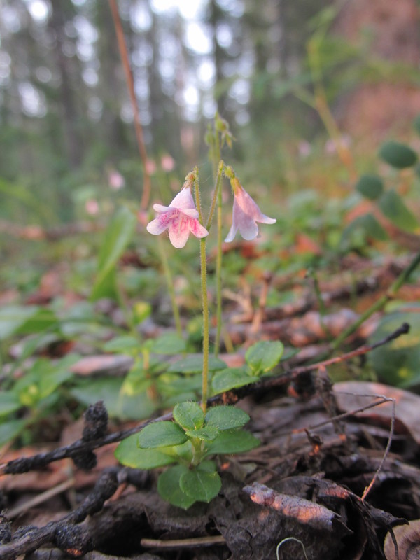
линнея северная
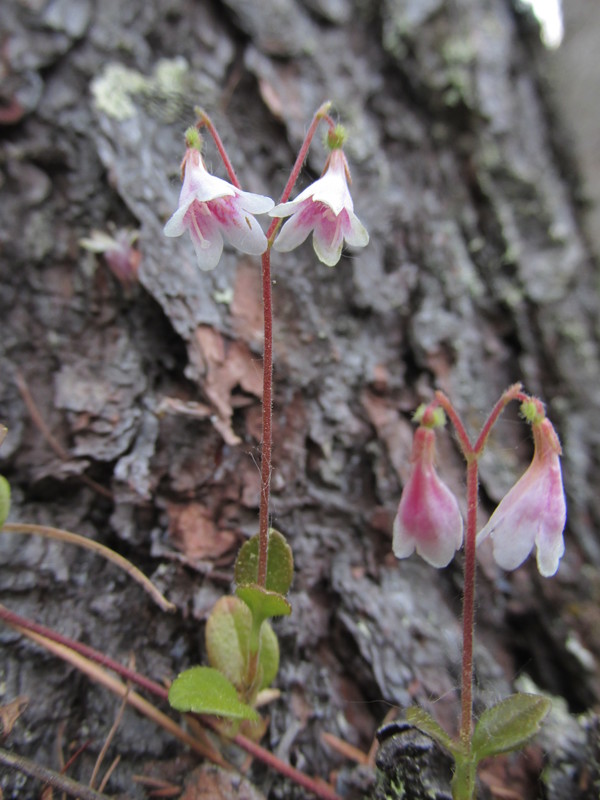 |
(не смог выбрать, какая фотография лучше)
 |
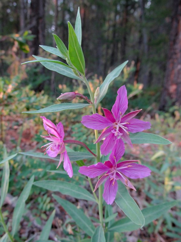
иван-чай
 |
Под перевалом тропа уходит в поваленный лес. Немного
полазав по бревнам, возвращаемся назад и находим хороший обход по
нормальному лесу.
 |
Заросли у ручья под перевалом
 |
На перевале обширное плато, заросшее кустами, в основном
карликовой березкой. Посередине -- большое озеро.
 |
спуск с перевала
 |
После долгого хождения по лесу, по тропе и без тропы,
к вечеру выходим в долину реки Улюгна.
 |
Улюгна
 |
Чозениевый лес в сухих протоках реки -- отличное место
стоянки.
 |
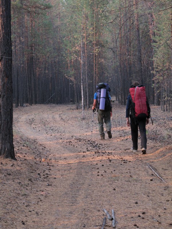
Весь следующий день идем вниз по Улюгне. Тропа то хорошая,
то рассеивается по лесу.
 |
прижим на Улюгне
 |
Последняя ночевка. Забавные кусты ивы на галечнике.
The last camping place. Funny willow trees on pebble.
 |
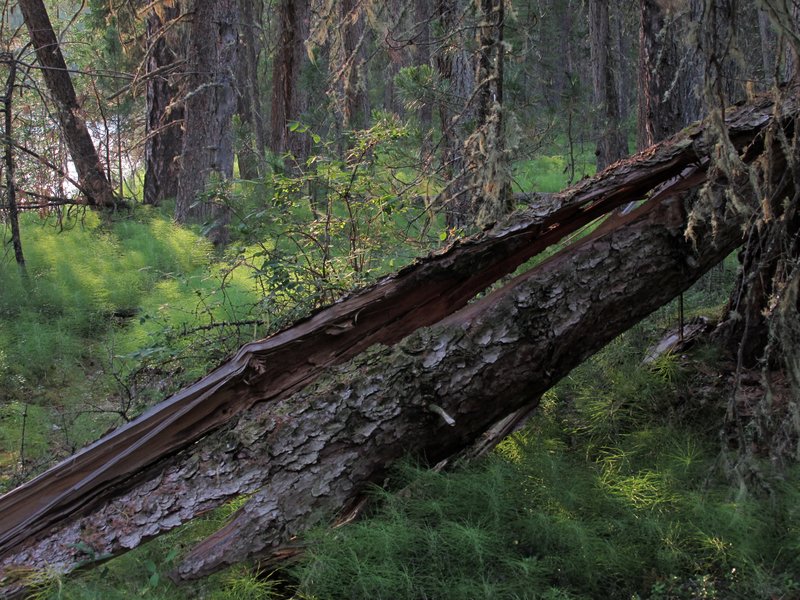
горелый лес на протовоположном склоне долины
burned forest
on the other side of the valley
 |
Улюгна
Ulugna river
 |
Рано утром выходим в поселок Улюнхан по отличным дорожкам
в сосновом лесу.
Early in the morning we are walking to Ulunkhan
village on good roads in a pine forest.
 |
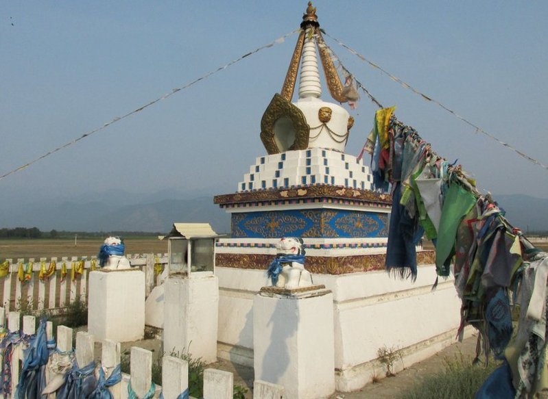
буддистская ступа в Улюнхане
buddhist stupa in Ulunkhan
village
 |
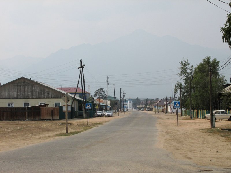
Баргузинская долина и ущелье реки Алла. Мы опоздали на
утренний автобус и добираемся на перекладных: на попутной машине до
Аллы, на такси до Курумкана, на маршрутке в Баргузин. На следующий день
-- на попутной машине в Усть-Баргузин, на автобусе в Улан-Удэ. А потом
еще на ночной маршрутке в Иркутск.
Barguzin valley. We missed the
morning bus in Ulunkhan and was moving by hitchhiking and random buses
to Alla, Kurumkan, Barguzin, Ulan-Ude and finally to Irkutsk.
 |
село Курумкан
Kurumkan village
 |
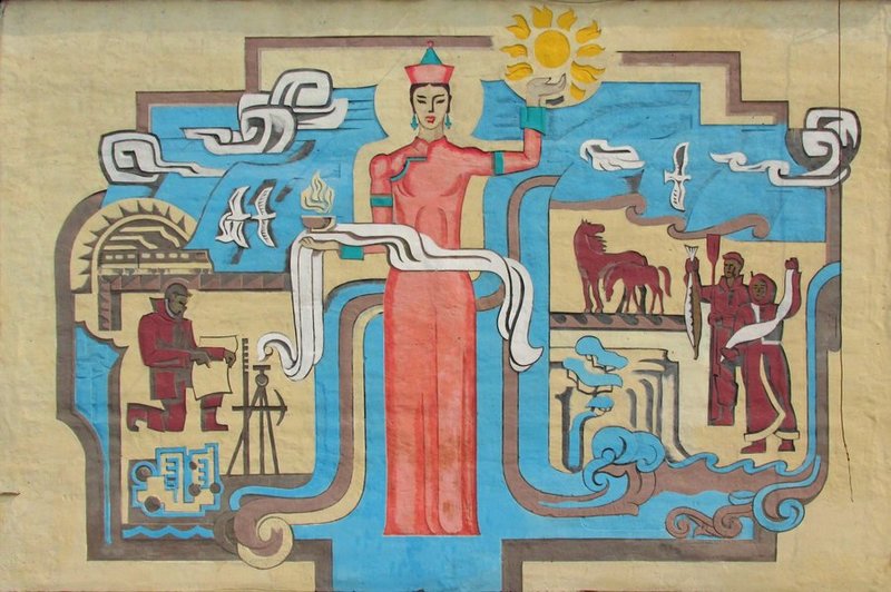
панно в Курумкане
a picture in Kurumkan
 |